- Out and Back
- Out and Back
- Out and Back


About
Hiking New York's 38th highest peak
Porter Mountain is the 38th highest of the Adirondack High Peaks. It is a serious hike that requires significant preparation. While considered one of the "easier" High Peaks, a successful and enjoyable hike of Porter involves research, physical fitness, the right gear, and knowledge of Leave No Trace principles. Often climbed with Cascade Mountain, Porter Mountain is a rewarding experience in its own right. There are two open routes to the summit of Porter, one of which is followed heavily.
Key takeaways
- Distance: 5 miles round trip
- Elevation: 4,058 feet
- Elevation gain: 2,235 feet
- Hike includes steep rock slab and trail junctions
- Based on hiking from NY-73, which is the primary trailhead for Porter
Hiking Porter Mountain from NY-73
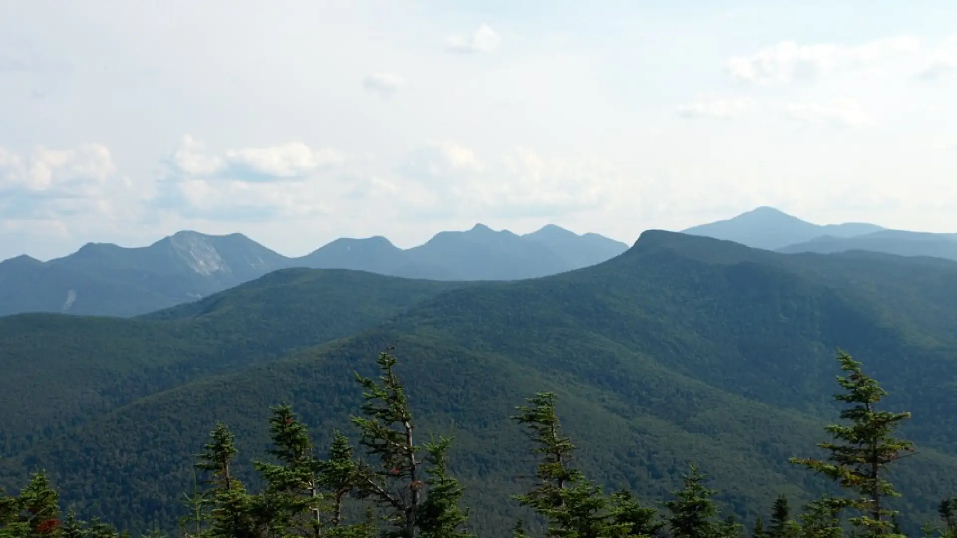
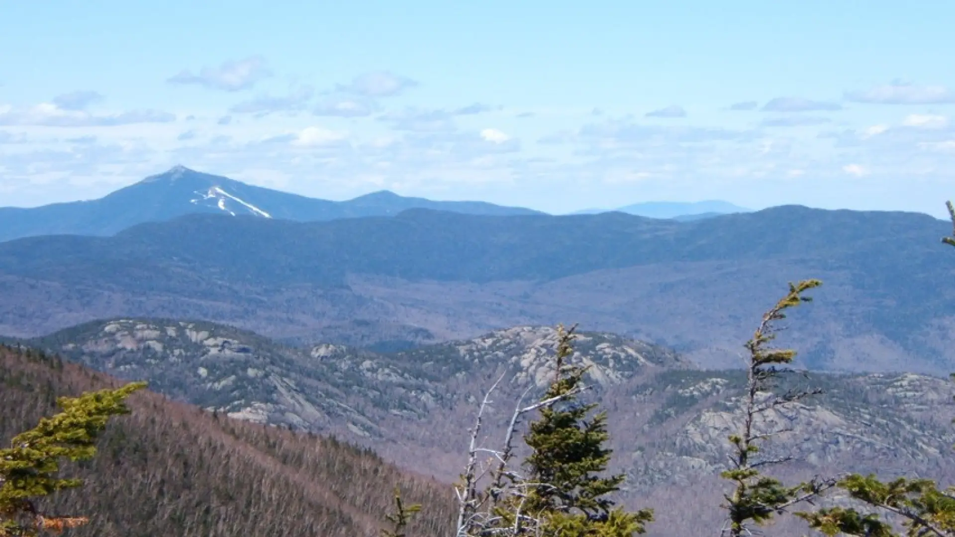
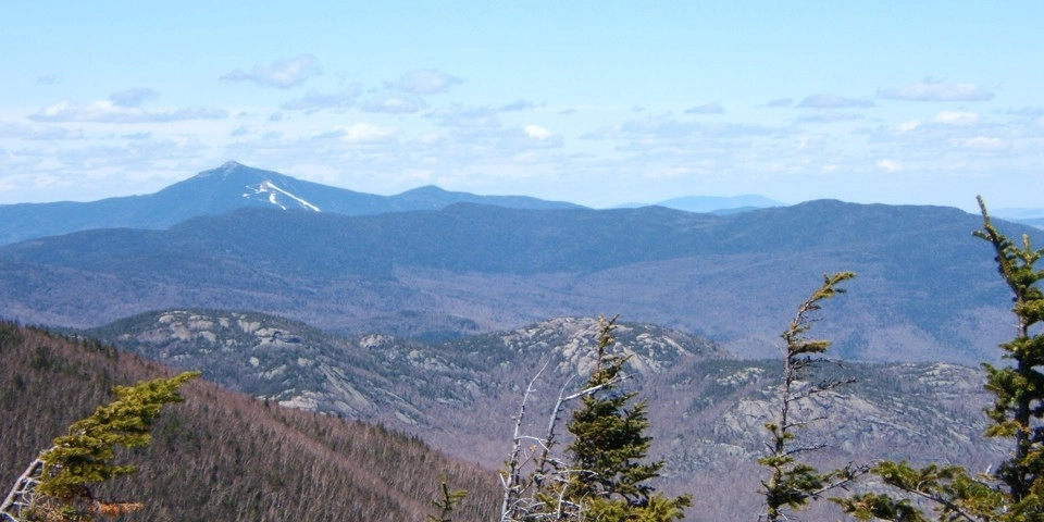
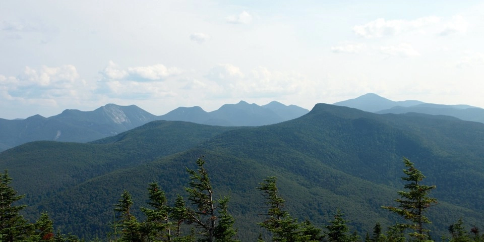
Primary trailhead: The trail dips down to the trailhead register and remains moderate, before then starting a steep ascent over rocky terrain. This route is used when combining Cascade and Porter as a day trip and is a very busy trail. Go right at a junction at roughly 2 miles from the trailhead. Continue 0.7 miles down and up to reach the summit of Porter Mountain. The summit is a good sized rock that gives you views of the Great Range and over to Cascade.
Secondary trailhead: This is an 8 mile round trip hike with 3,675 feet of elevation gain. Starting from Marcy Field, follow the woods road for a short distance then continue left on a foot trail. This trail leads over Blueberry Mountain and is a very steep and eroded ascent. There are outstanding views as you approach the summit of Blueberry Mountain. From Blueberry Mountain you will continue a very steep and eroded climb to the ridge SE of Porter Mountain.
Porter Mountain in winter
Porter Mountain is a challenging mountain that should only be attempted by experienced hikers in the winter, so make sure you are prepared. Snowshoes are necessary, and snow spikes are helpful in the couple areas of typically rock slab. Plan on temperatures in the higher elevations being at least 20 degrees colder than at the trailhead, not including the windchill. Bring several extra non-cotton layers, a headlamp with spare batteries, extra food, a windbreaker, goggles, a face mask, and supplies for spending the night in case of an emergency.
Find your perfect trail near Lake Placid
Does Porter sound amazing, but a little more than you want to tackle right now? No need to stress, with over 2000 miles of hiking trails in the Adirondacks we are sure we can find the perfect hike for you.
How to get there
There are three ways to reach Porter Mountain. It is recommended that you use a guidebook to help determine which is the best option for you.
Primary trailhead: Leave Lake Placid on Route 73, follow Route 73 toward Keene. The trailhead for Cascade and Porter will be on the right, before you reach Cascade Lakes. This parking area is often crowded in summer and may require a several hundred yard road walk to reach the trail.
Secondary trailhead: Leave Lake Placid following Route 73 through Keene and toward Keene Valley. Look for Marcy Field on the right. The parking area is just past Marcy Field on the right.
Emergency Information
Related Content

Ready to hike in the High Peaks? There is no set way for how to become a 46er, but there is a R.I.G.H.T. way.

Lake Placid, NY is home to short hikes, moderate hikes, and longer hikes, making us the perfect hiking destination for any hiker! Read these hiking safety and etiquette tips that will keep you safe and happy on the trails this summer!