
- Loop
- Loop
- Loop


About
Hiking New York's 13th highest peak
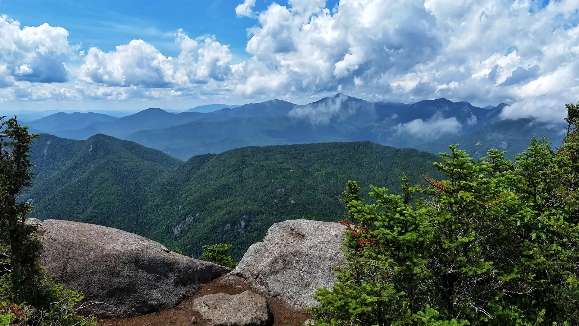
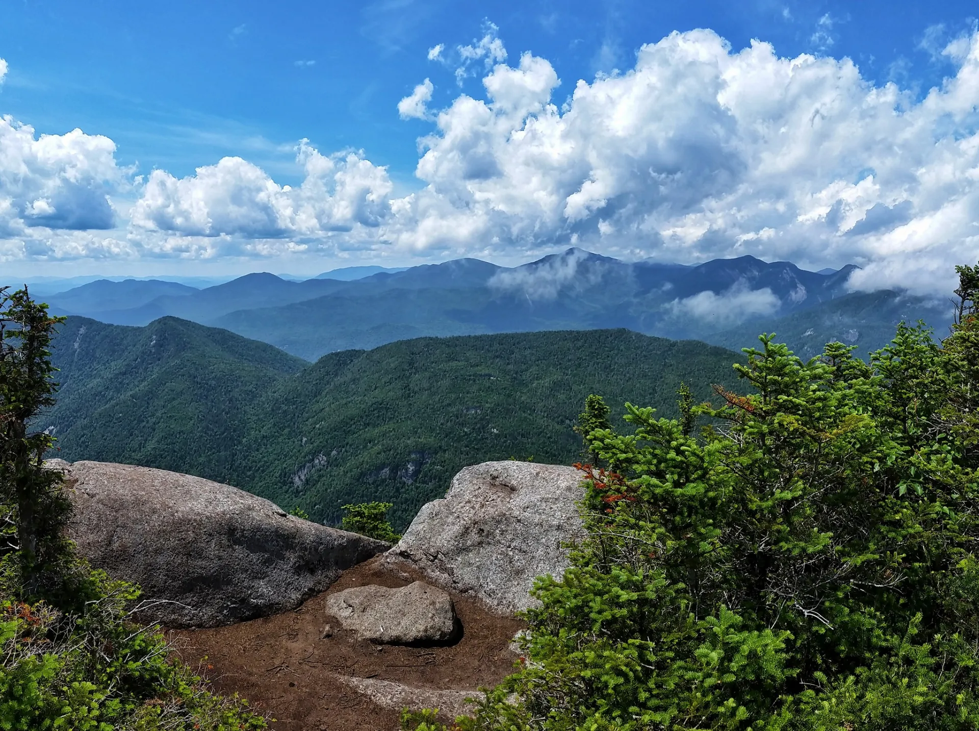
Nippletop is the 13th tallest of the 46 Adirondack High Peaks. It is a steep, serious hike that requires significant preparation. A successful hike of Nippletop involves research, physical fitness, the right gear, and knowledge of Leave No Trace principles. Nippletop is most often climbed with Dial Mountain. The views are not 360-degrees, but it has the impression of a solid tract of wild land, which the brothers Marshall rated as third best in the High Peaks.
SPECIAL INFORMATION
This hike is accessed through a conservation easement with the Adirondack Mountain Reserve (AMR). A parking reservation is needed from May 1 - October 31. Although it is called a “parking reservation,” everyone will need a reservation to access hikes leaving from AMR, whether you drove yourself, rode a bike, got dropped-off, or walked. These reservations can be made online via the AMR website. For more information, please read these FAQs or contact the New York State Department of Environmental Conservation.
Key takeaways
- Distance: 13 miles round trip
- Elevation: 4,620 feet
- Elevation gain: 4,300 feet
- Hike includes several trail junctions
- Based on a loop hike, headed up Elk Pass and down the H.G. Leach trail over Dial
Hiking Nippletop Mountain
The approach to Nippletop and Dial is on the private land of the Adirondack Mountain Reserve. While hiking is guaranteed by virtue of an easement, NO DOGS are permitted. The hike described below includes both Dial and Nippletop, and ascends via Elk Pass and descends via the Henry Goddard Leach Trail. This is the most popular route for those who prefer to ascend steep and have a more gradual decline.
The hike starts along a road for 0.5 miles to a left turn down between two tennis courts onto Lake Road Way which soon reaches an entrance station. Just past the entrance station is a wooden gate, where you will continue along a dirt road for an additional 2.5 miles before you enter a foot trail. This is the route to Elk Pass. The foot trail starts off very moderate but continues to get steeper in sections. You will pass by a trail for Indian Head and then another for Fish Hawk Cliffs before finally reaching the trail for Colvin and Blake. As you pass by this trail you will be on a somewhat mellow climb to Elk Pass. As you pass through the three beaver ponds you will come to the base of a very steep ascent. From the beaver ponds, it is very steep 1.7 miles to the summit of Nippletop. After a steep climb up the Pass, you'll find yourself at an intersection 0.1 miles from Nippletop's summit. Turn right and you'll shortly find the summit.
After summiting, return to the intersection and continue down the footpath. It's 2.1 miles to Dial from here. The trail travels up and down several bumps. The summit of Dial is a large boulder facing the Great Range. From the summit of Dial, it is 3.8 miles to Lake Road, where you will find yourself 0.7 miles from the gate. Between Dial and Lake Road you will continue to rise and fall along the trail, passing over the summit of Bear Den Mountain and the site of a large forest fire that happened in 1999. You'll see a "new" forest on the shoulder of Noonmark Mountain. In 1999, 92 acres of the side of the mountain burned. Nine days after the fire started, it was still smoking, and it wasn't until Hurricane Floyd dumped 6 inches of rain on the Adirondacks that the fire was finally extinguished, over a week after the fire started.
Nippletop in the winter
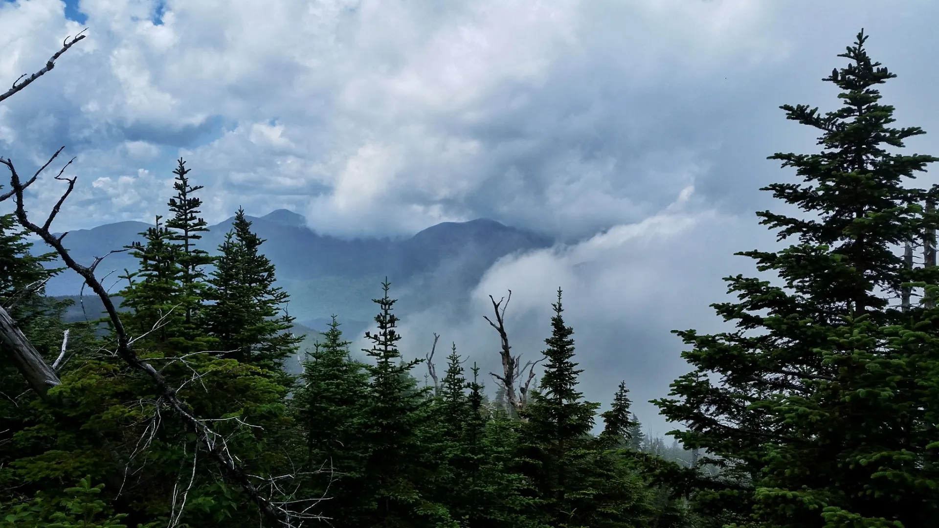
Nippletop is a challenging mountain that should only be attempted by experienced hikers, especially in winter, so make sure you are prepared. Snowshoes are necessary, and microspikes should be brought for the steeper areas. Plan on temperatures in the higher elevations being at least 20 degrees colder than at the trailhead, not including the windchill. Bring several extra non-cotton layers, a headlamp with spare batteries, extra food, a windbreaker, goggles, a face mask, and supplies for spending the night in case of an emergency.
Find your perfect trail near Keene Valley
Does Nippletop sound amazing, but a little more than you want to tackle right now? No need to stress, with over 2000 miles of hiking trails in the Adirondacks we are sure we can find the perfect hike for you.
How to get there
Leave Lake Placid on Rte 73, follow Rte 73 through Keene and Keene Valley and into Saint Huberts. Parking is across the road from the Roaring Brook Falls Trailhead for Giant Mountain.
Emergency Information
Related Content

Ready to hike in the High Peaks? There is no set way for how to become a 46er, but there is a R.I.G.H.T. way.