
- Out and Back
- Out and Back
- Out and Back


About
*TRAIL CLOSURE: Access to Avalanche Lake from the Adirondack Loj/South Meadows trailheads has been closed due to sizable mudslides from Mount Colden. Do not plan a loop hike of Colden utilizing Avalanche Pass at this time. Instead, plan on an out-and-back via Lake Arnold as the simplest option. Keep up to date on the latest information here.
Hiking New York's 11th highest mountain
Mount Colden is the 11th highest of the Adirondack High Peaks. It is a steep, serious hike that requires significant preparation. A successful hike of Mount Colden involves research, physical fitness, the right gear, and knowledge of Leave No Trace principles.
Key takeaways
- Distance one way: 12.6 miles round trip
- Elevation: 4,714 feet
- Elevation gain: 2,535 feet
- Hike includes trail junctions, steep wooden ladders, and steep rock slab
- Based on an out-and-back hike via the Lake Arnold Trail
Hiking Mount Colden
Below are brief descriptions of the two major routes up Colden. These can be combined to make a long, rugged, and scenic loop.
Colden via Lake Arnold
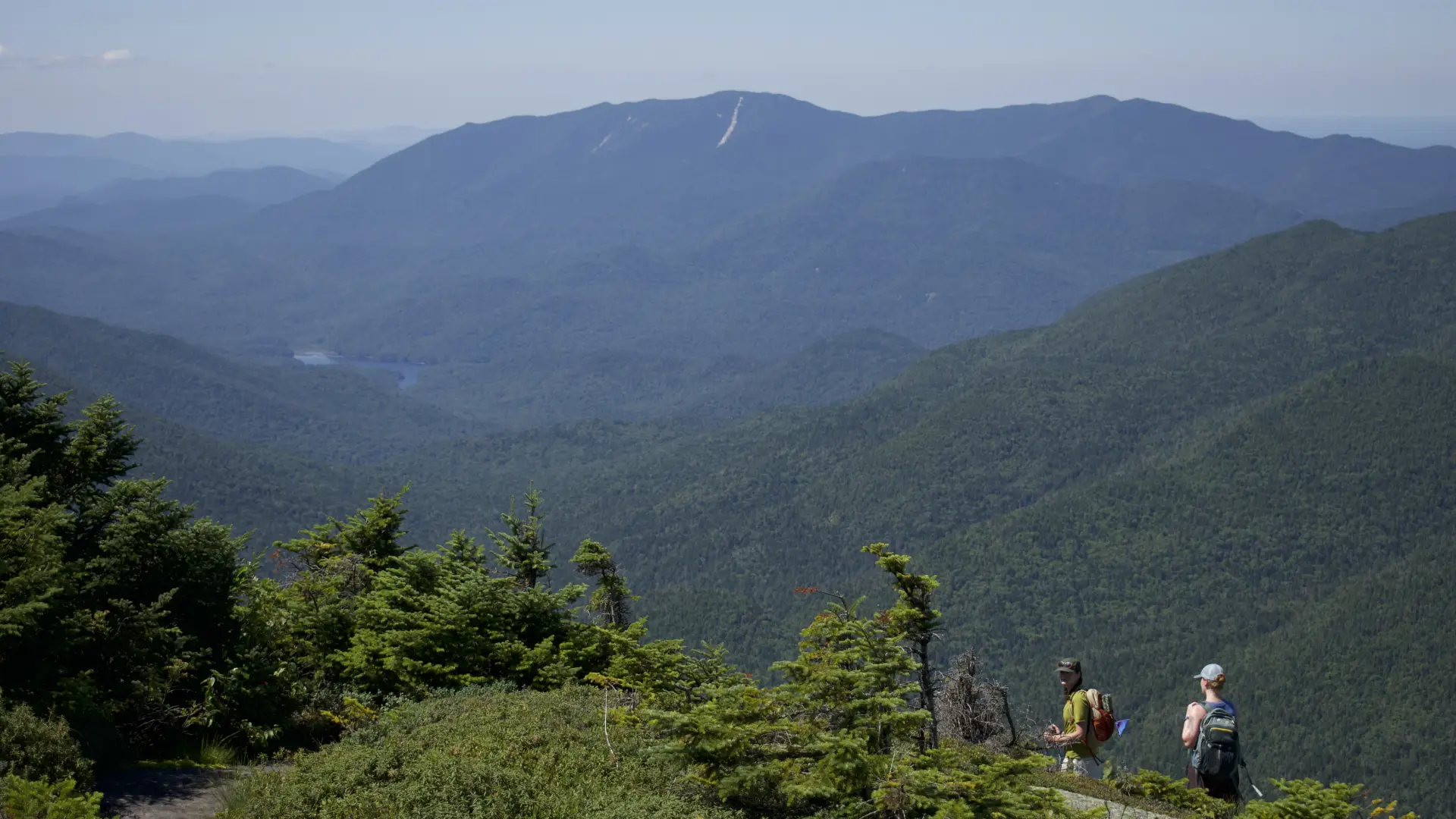
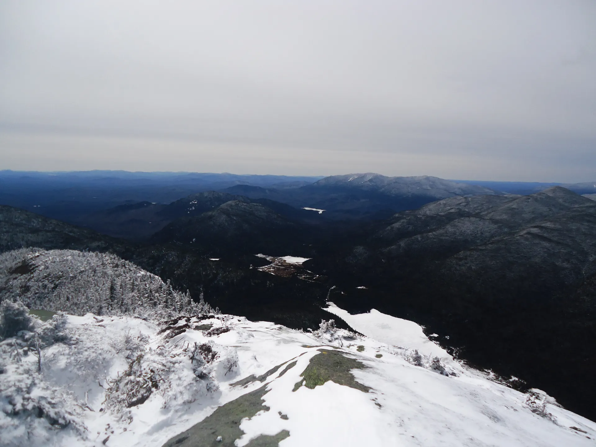
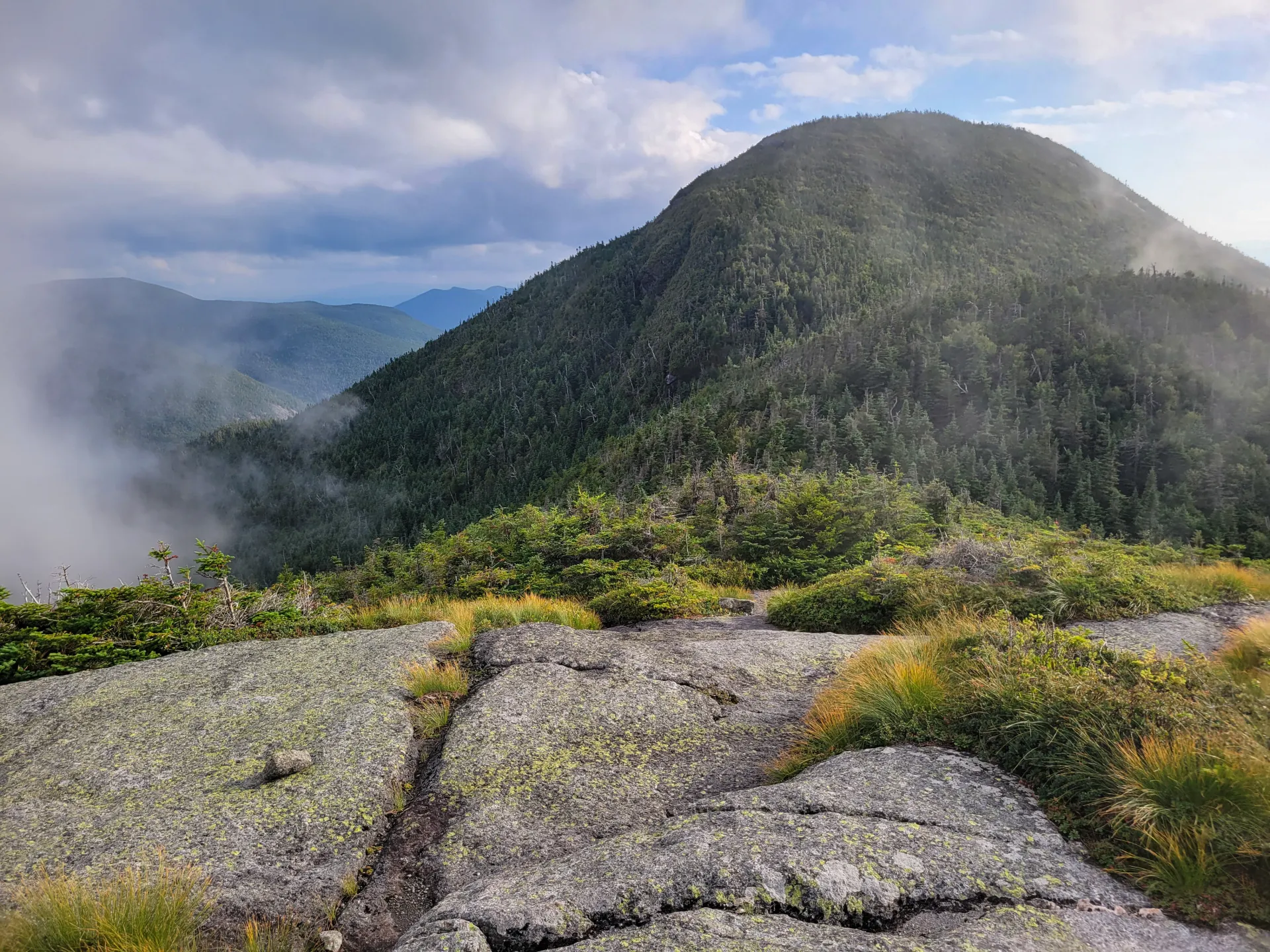
The first 2.3 miles of this 6.3-mile route follow the popular and often busy trail to Marcy Dam. Marcy Dam has several first-come, first serve camping options, including tent sites and a couple of lean-tos. From the dam, continue on the trail toward Avalanche Camp at 3.4 miles. Make a left and start a moderate to steep climb up to Lake Arnold. At just under 3,800 feet, Lake Arnold is one of the highest bodies of water in the Adirondacks. Turn right and hike past and above the pond.
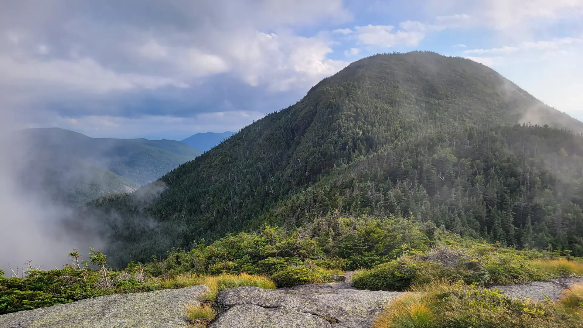
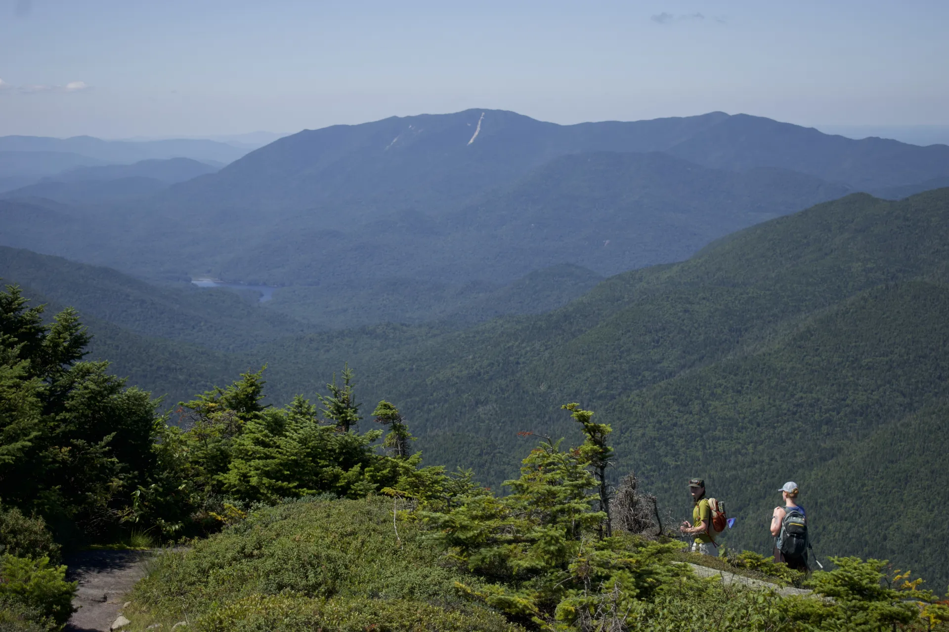
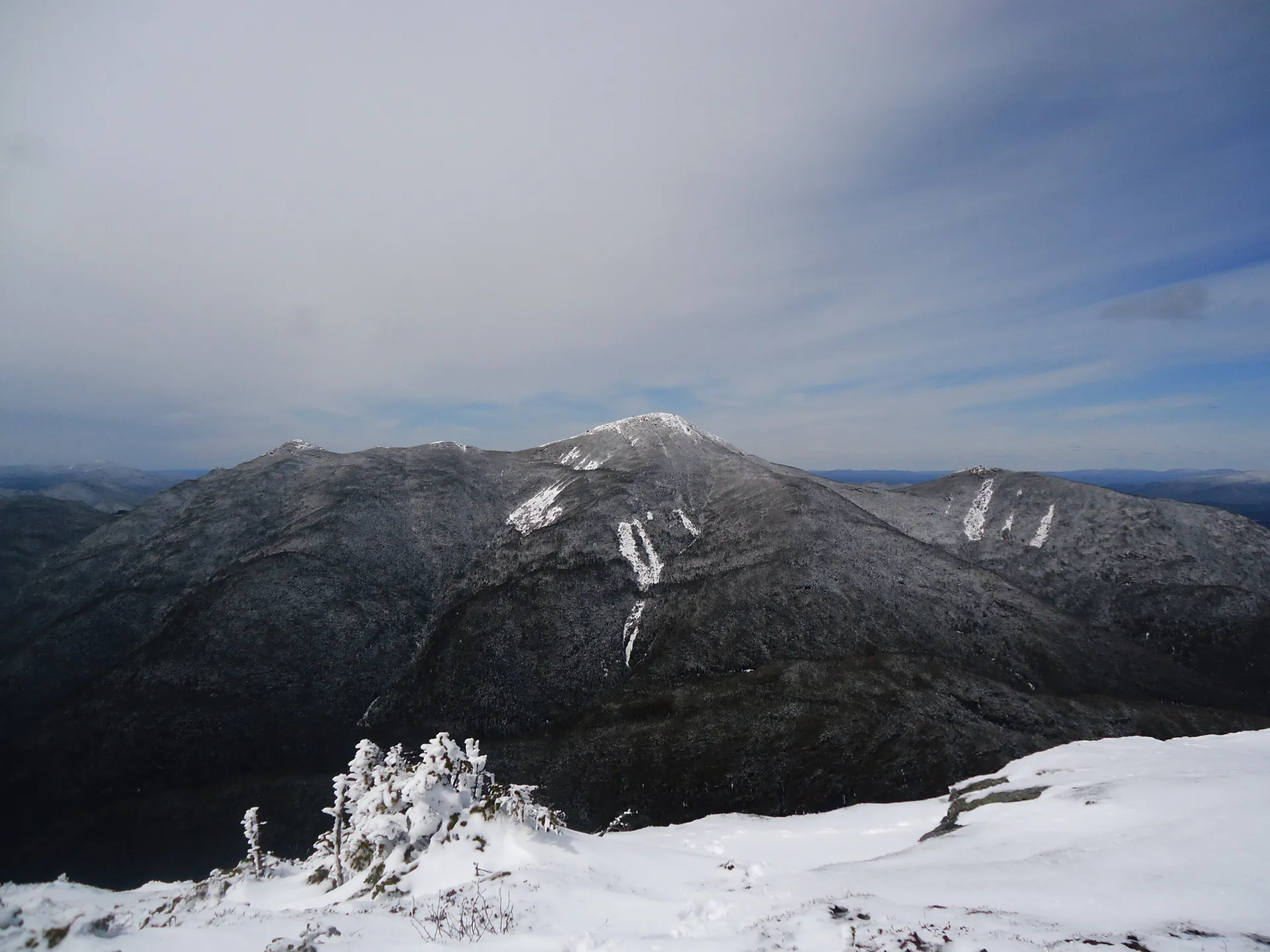
From the turn at Lake Arnold it's 1.4 miles to the summit. There are primitive tent camping sites at Lake Arnold. Remember that bear cans are required in the High Peaks Wilderness Area. The terrain gets very steep in sections, but there are views as the path approaches the mountain's false summit. Note that the trail doesn't actually go over this small rock outcrop, but instead bears left near its summit. After the left turn, the trails makes its descent to the base of the true summit, then climbs steeply to the top of Mount Colden, where excellent views await.
Colden via Avalanche Pass
The longer approach to Colden first goes through Avalanche Pass. Follow the Colden via Lake Arnold trail to Avalanche Camp, where there are tent and lean-to site. 3.4 miles from the trailhead, then bear right to head toward Avalanche Pass. The trail ascends steeply, but then levels off as it enters Avalanche Pass.
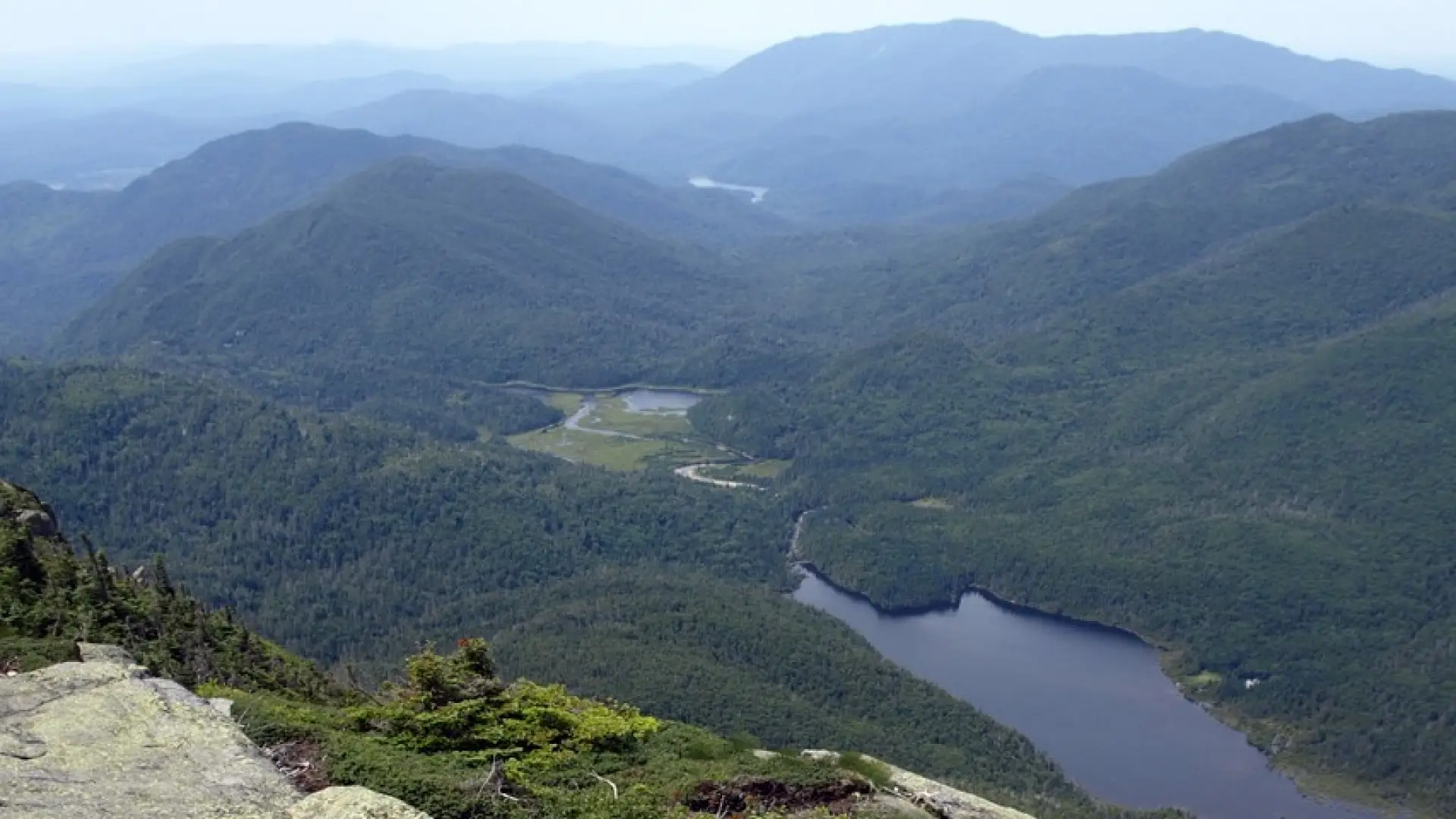
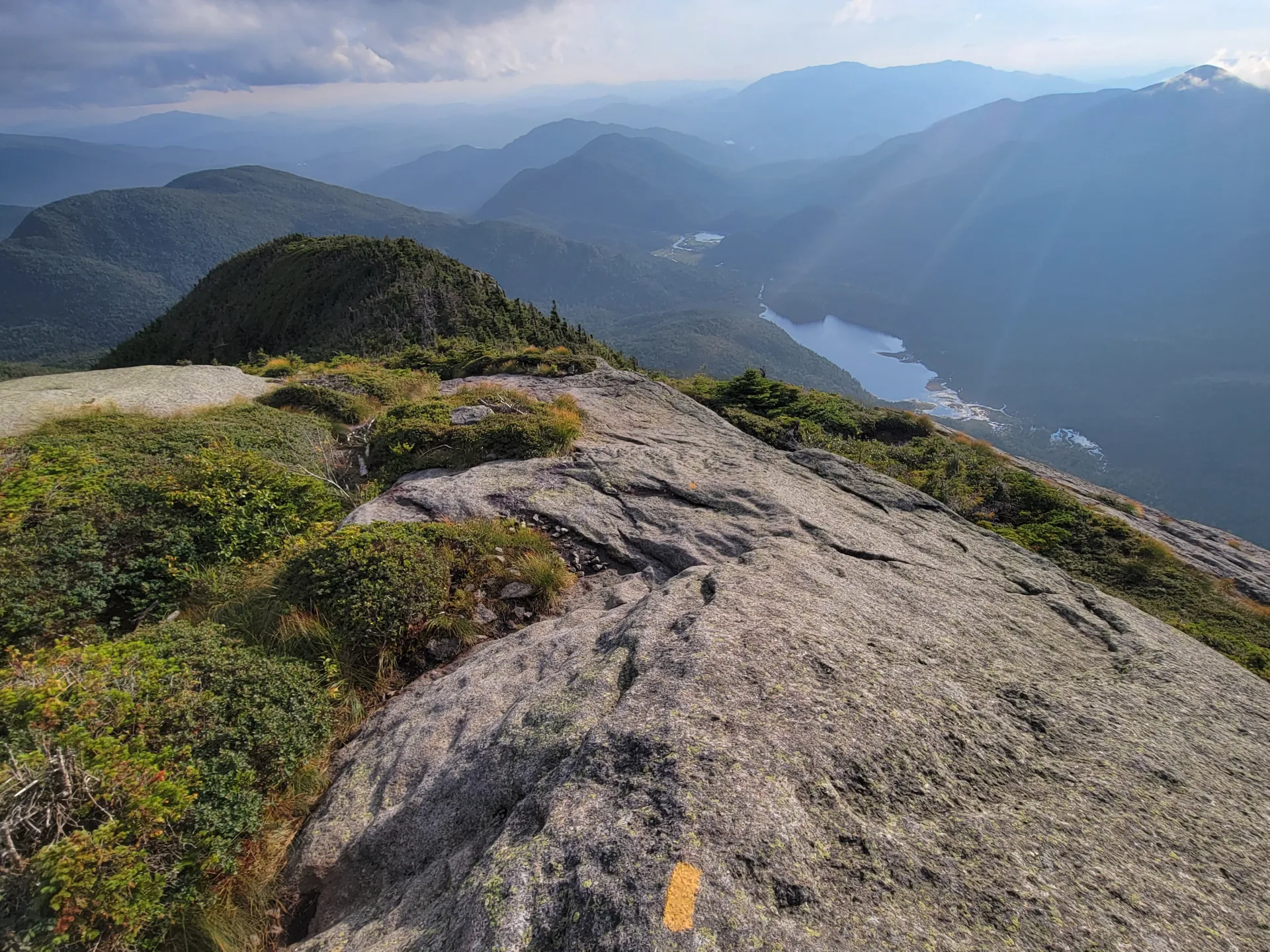
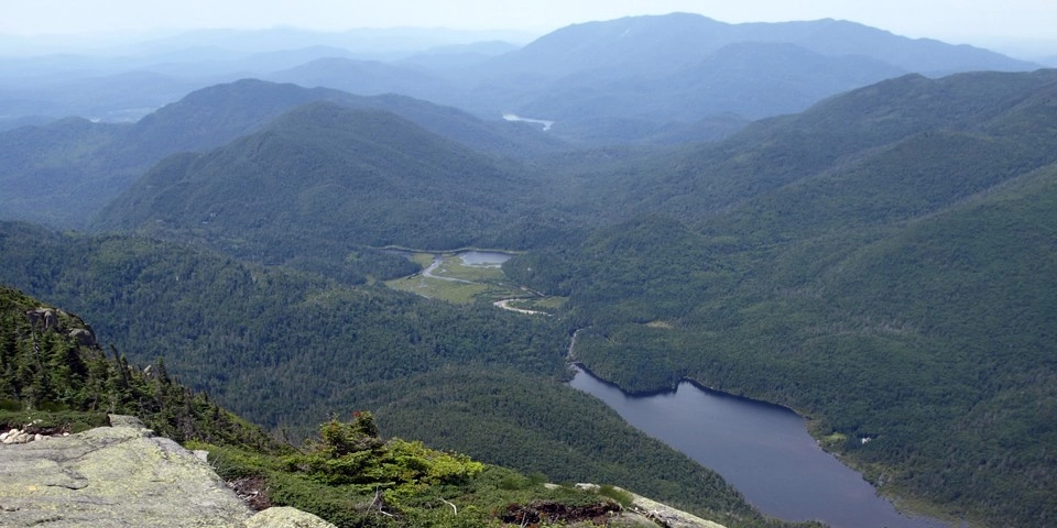
At 4.4 miles, Avalanche Lake comes into view. The cliffs on the left are the base of Mount Colden. Bear right to follow Avalanche Lake's rugged shore and wooden infrastructure. This trail is demanding and consists of scrambling, boulders, and numerous ladders — allow a good amount of time just to get through this section. Once past the lake, the trail moderates and descends to a register at a junction at the 5.8 mile mark. Head left and follow the shore of Lake Colden a bit before going left again to start the very steep and strenuous 1,950-foot climb to the summit of Colden, which is just over a mile from here. Descend via the Lake Arnold trail.
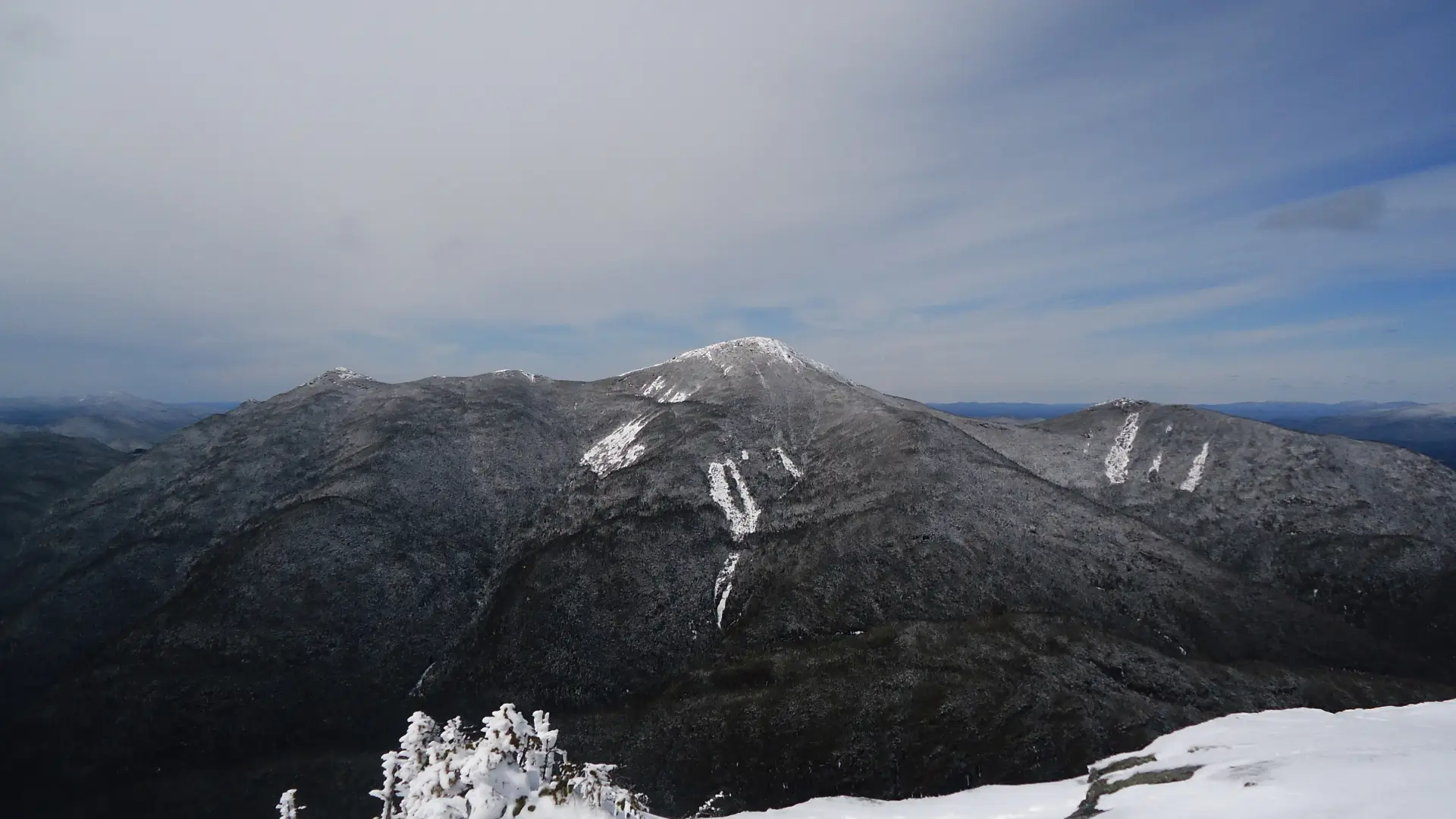
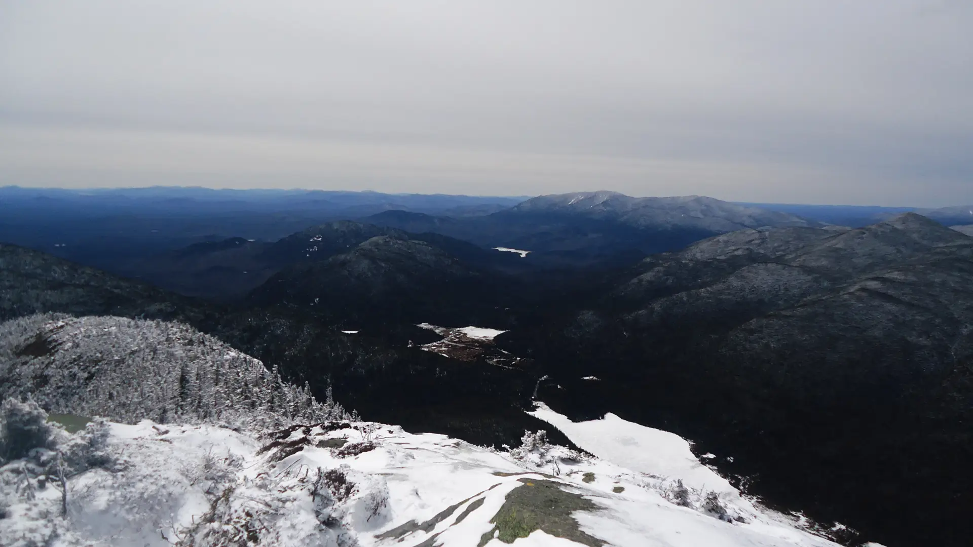
Mount Colden in the winter
Mount Colden is a challenging mountain that should only be attempted by experienced hikers, especially in winter, so make sure you are prepared. Snowshoes are necessary, and snow spikes or crampons are needed to climb the exposed upper reaches of the peak. Plan on temperatures in the higher elevations being at least 20 degrees colder than at the trailhead, not including the windchill. Bring several extra non-cotton layers, a headlamp with spare batteries, extra food, a windbreaker, goggles, a face mask, and supplies for spending the night in case of an emergency. Only the most experienced hikers should attempt to go up or down Colden via Avalanche Pass trail in winter, as the slopes are particularly hazardous when icy.
The Avalanche Pass ski trail is designated for use by skiers only and is a great excursion for experienced backcountry skiers. This is a good option for an interesting ski-and-snowshoe winter tour.
Find your perfect trail near Lake Placid
Does Mount Colden sound amazing, but a little more than you want to tackle right now? No need to stress, with over 2000 miles of hiking trails in the Adirondacks we are sure we can find the perfect hike for you.
How to get there
Both of the routes described begin at the High Peaks Information Center parking lot, near Adirondack Loj. There is a parking fee to use this large lot. Leave Lake Placid on Route 73, turn right on Adirondack Loj Road, and follow it to its end.
Emergency Information
Related Content

Ready to hike in the High Peaks? There is no set way for how to become a 46er, but there is a R.I.G.H.T. way.