- Out and Back
- Out and Back
- Out and Back


About
*TRAIL CLOSURE: Access to Avalanche Lake from the Adirondack Loj/South Meadows trailheads has been closed due to sizable mudslides from Mount Colden. Do not plan a loop hike of Algonquin, Wright, and Iroquois through Avalanche Pass at this time. Keep up to date on the latest information here.
Hiking New York's 8th tallest summit
Iroquois is the 8th tallest of the Adirondack 46 High Peaks, and is most often climbed with the other two main peaks of the MacIntyre Range, Algonquin Peak and Wright Peak. It is a steep, serious hike that requires significant preparation. A successful hike of Iroquois involves research, physical fitness, the right gear, and knowledge of Leave No Trace principles.
Key takeaways
- Distance: 9.4 miles round trip
- Elevation: 4840 feet
- Elevation gain: 3,915 feet
- Hike includes trail junctions, steep rock slab, unmarked trail, an exposed summit, and ladders
- Based on an out-and-back hike from the Loj, over Algonquin
Hiking Iroquois Peak
There are two primary ways to do Iroquois, over Algonquin or through Avalanche Pass, with the former being the most commonly chosen option. Described below are both.
Over Algonquin
This route starts out along the popular hiking trail that leads to Marcy Dam. At about 0.9 miles you will come to a major intersection that you need to go straight through and head up Algonquin. From here the terrain gets slowly steeper and much steadier. As you reach 3900’ in elevation the grade eases off a bit. The intersection for Wright Peak is just a bit further, after a couple short rock cliffs to navigate, and there will be a large congregation area where there is a sign and a privy.
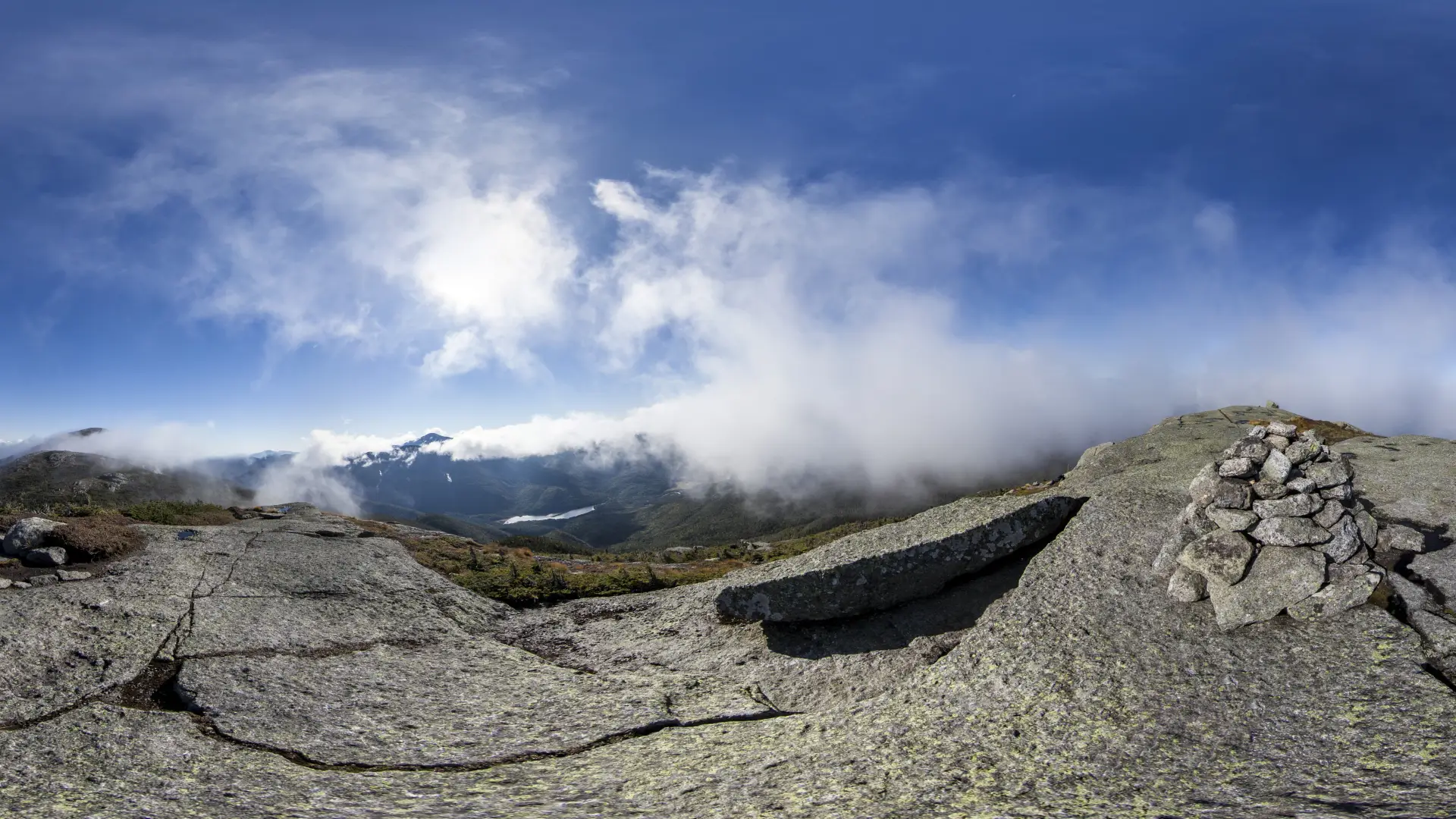
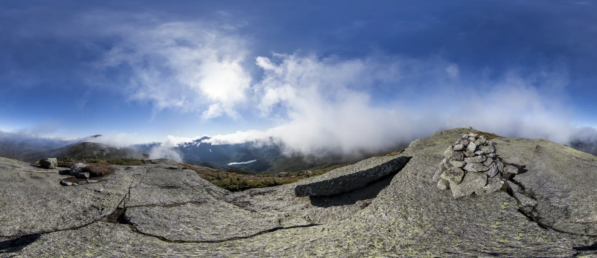
From here it is less than a mile to the summit of Algonquin, which you will be required to climb to get to Iroquois. Take care to follow the correct trail, as a common mistake is to take the leftmost trail up to Wright by accident. The final ascent up Algonquin is a steep climb that will get you to tree line. From the summit of Algonquin you will descend quite steeply over open rock to the intersection with the secondary route described below and the herd-path to Iroquois.
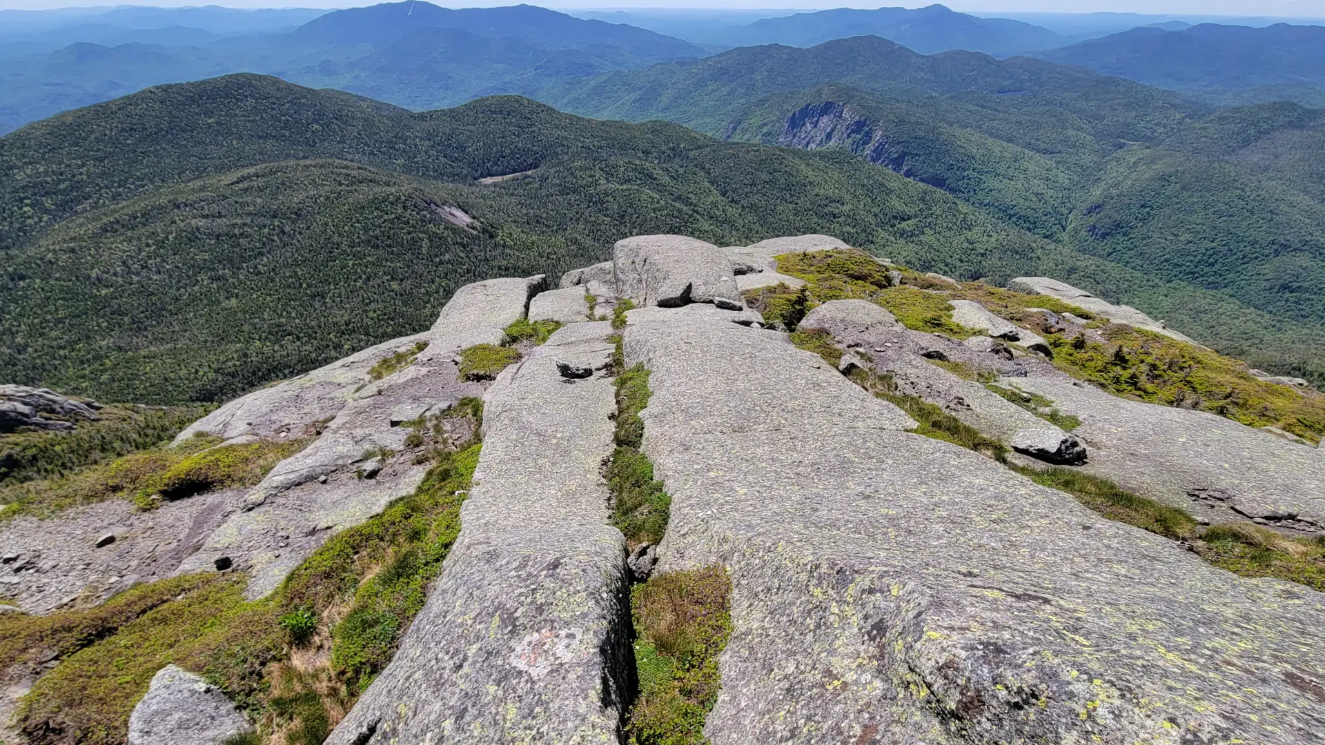
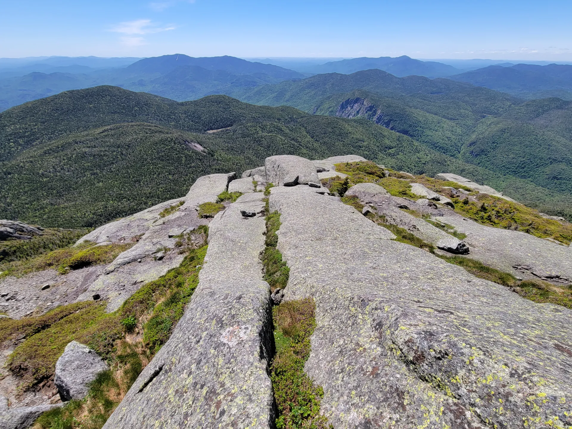
Take a right at the intersection. The herd path is narrow and goes through highest bog in the Eastern United States. Along the herd path you will also have to climb over Boundary Peak. The final climb up Iroquois is not as demanding as Algonquin, but does have exposed steep sections.
Secondary Trailhead:
This is a 12 mile hike round trip, with 3,850 feet of elevation gain. Follow the primary trail to Marcy Dam and Avalanche Camps and instead of heading toward Lake Arnold head toward Avalanche Pass. The next mile is steep and strenuois. You will eventually pass through Avalanche Pass where the temperatures are much cooler and make your way along Avalanche Lake. This trail along the lake is very demanding and consists of scrambling, boulders, numerous ladders, and the famous Hitch-Up Matildas.
Once past the lake the trail drops a bit to a junction at a trail register. Go right for 0.4 miles past an inlet of Lake Colden to the trail for Algonquin on your right. This trail is one of the steepest in the park, be prepared. From Lake Colden you will be climbing directly up the fall-line of a tributary of Lake Colden. The trail is typically wet and slippery with several large steps and serious erosion. This trail will exit in the col between Iroquois and Algonquin where you will pick up the herd-path along the primary route, on your left. After summitting Iroquois, most hikers choose to head back to the Loj by climbing over Algonquin.
Iroquois in the winter
Iroquois is a challenging mountain that should only be attempted by experienced hikers, especially in winter, so make sure you are prepared. Snowshoes are necessary, and microspikes or crampons are needed to climb the exposed upper reaches of the peak. Plan on temperatures in the higher elevations being at least 20 degrees colder than at the trailhead, not including the windchill. Bring several extra non-cotton layers, a headlamp with spare batteries, extra food, a windbreaker, goggles, a face mask, and supplies for spending the night in case of an emergency. Heavy winds above tree line, ice conditions along the ridge, white-outs, obscured trail due to snow drifts, and spruce traps: all of these conditions are common on Iroquois and Algonquin. The herd path to Iroquois is well-known for spruce traps, take care where you are stepping.
A spruce trap is where snow covers the branches of the spruce and balsam trees but does not get under the branches. This void causes the snow to collapse under your weight causing you to fall to the depth of the snow which can be upwards of 6-feet. The traps are very hard to get out of and the aid of your fellow climbers is sometimes essential.
Find your perfect trail near Lake Placid
Does Iroquois sound amazing, but a little more than you want to tackle right now? No need to stress, with over 2000 miles of hiking trails in the Adirondacks we are sure we can find the perfect hike for you.
How to get there
Leave Lake Placid on Rte 73, follow Rte 73 toward Keene. Take your first right after the ski jumps onto Adirondack Loj Road. Follow this road to its end and park at the hiker trailhead. There is a parking fee.