- Loop
- Loop
- Loop

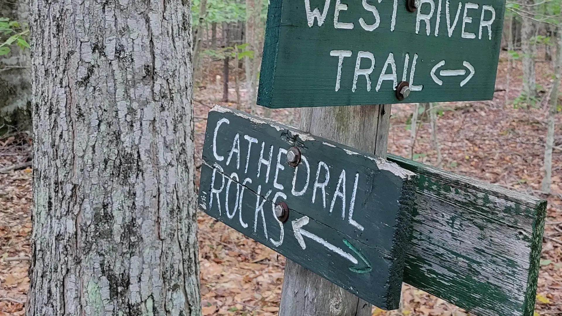
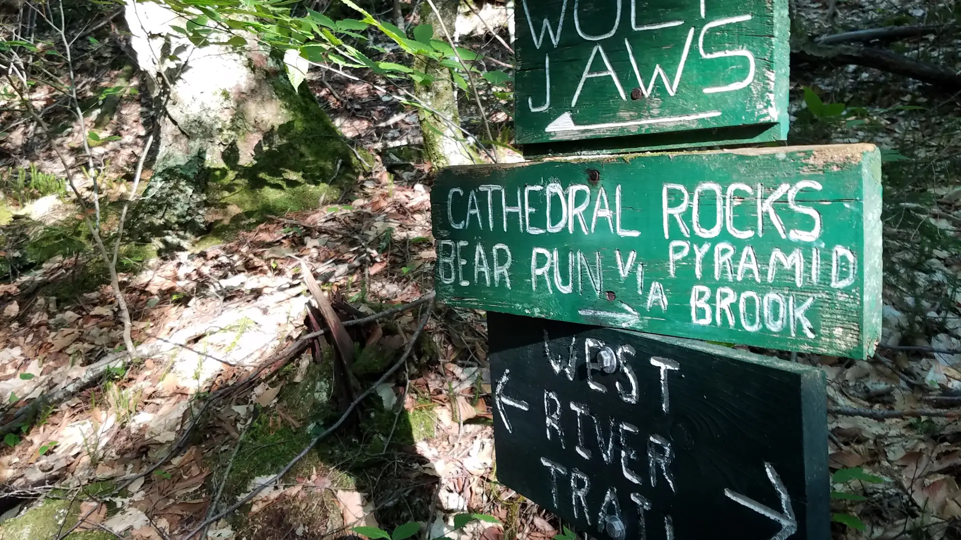
This loop is filled with interesting natural features. Hikers must remember that this entire hike is on the private property of the Adirondack Mountain Reserve (a.k.a. the Ausable Club). One must park in the designated public parking area, and absolutely no dogs are allowed in this game preserve. Additionally, finding this route among the other trails in the area requires research and preparation, as there are several turns to be taken before one sees an actual sign for Cathedral Rocks. The hike includes more than a mile round trip of road walking to get to the trail.
SPECIAL INFORMATION
This hike is accessed through a conservation easement with the Adirondack Mountain Reserve (AMR). A parking reservation is needed from May 1 - October 31. Although it is called a “parking reservation,” everyone will need a reservation to access hikes leaving from AMR, whether you drove yourself, rode a bike, got dropped-off, or walked. These reservations can be made online via the AMR website. For more information, please read these FAQs or contact the New York State Department of Environmental Conservation.
Key takeaways
- Distance: 4.4 miles round trip
- Elevation gain: 670 feet round trip
- Hike includes trail junctions and a road walk
Hiking Cathedral Rocks via the East and West River trail
From the trailhead, walk up the road for 0.5 miles to Lake Road Way. Turn left on Lake Road Way and down between two tennis courts to the entrance station. Sign the register and continue on through the elaborate gate for another 0.3 miles to a sign for the East River Trail and Cathedral Rocks on the right. Proceed for another 0.2 mi. to the river and jog right to cross a bridge over the river. At the junction on the far side, continue straight ahead. The trail soon begins to climb, reaching the base of some cliffs and then a junction at just under a mile from the river. The trail left at this junction is a cut-off that takes you past the actual Cathedral Rocks and is the shortest route to Pyramid Falls, which you'll take. Going right leads up to the base of another cliff band where one can take a side trip to Bear Run - a good view reached after an interesting scramble up through a chimney. After continuing straight, in 0.2 miles the trail reaches a junction. Turn left, and follow the trail down a steep descent for another 200 yards to the view of Pyramid Falls. The falls gets this name from the pyramid shape the water takes on as it cascades down the rock slab. From here the trail continues to descend, crosses Pyramid Brook, and soon reaches a junction with the West River Trail. Turn left and follow the trail to the bridge you crossed earlier. Alternatively, go right a few yards and then go left to Canyon Bridge and from there follow a road out to the main Lake Road.
Cathedral Rocks and Pyramid Falls Loop in the winter
This loop may not be broken out in the winter, and is not recommended for crosscountry skiing. Being prepared is necessary for any winter hike.
Find your perfect trail near Keene Valley
Does Cathedral Rocks sound amazing, but a little more than you want to tackle right now? No need to stress, with over 2000 miles of hiking trails in the Adirondacks we are sure we can find the perfect hike for you.
How to get there
From the intersection of Route 73 and Route 86 in Lake Placid, follow Route 73 toward Keene. Drive through Keene and Keene Valley. The trailhead is 3 miles from the High Peaks sign in the center of Keene Valley. It is on the right at the second junction with Ausable Road and directly across Route 73 from the Roaring Brook trailhead to Giant Mountain.


