- Out and Back
- Out and Back
- Out and Back

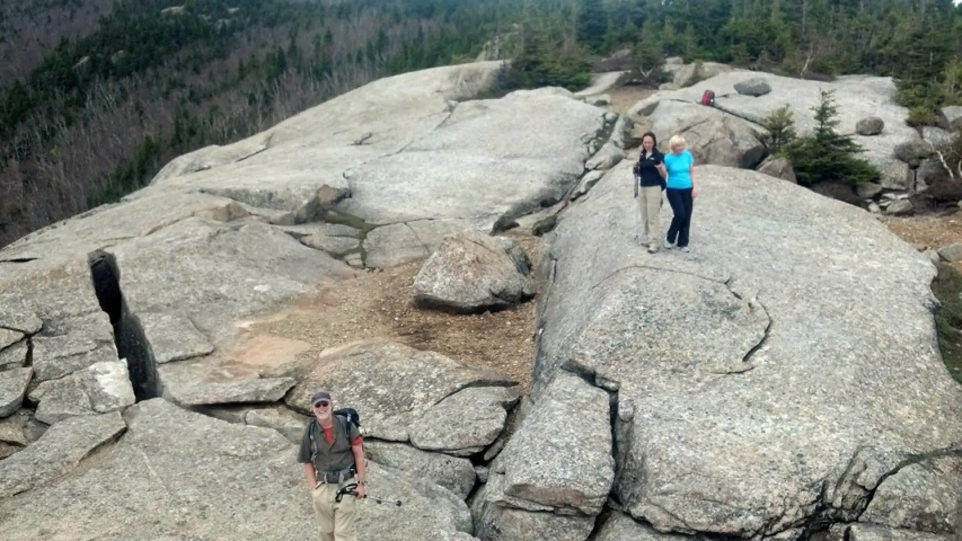
Balanced Rocks is a popular destination along the Pitchoff traverse. Pitchoff Mountain is home to one of the few trails in the entire Sentinel Range Wilderness Area, the impressive wild area to the right of Whiteface Mountain when viewed from Lake Placid.
Key takeaways
- Distance: 3 miles round trip
- Elevation: 3,000 feet
- Elevation gain: 1,010 feet
- Hike includes an exposed summit
Hiking to Balanced Rocks
Starting on the West Trail for Pitchoff, the route climbs steadily above Route 73 before leveling off along a lower ridgeline. Look to the right during this level stretch — there are two spots with views of Upper and Lower Cascade lakes, which stretch. A third overlook is located just above a steep scramble. It provides outstanding views of the #7 slide - created during Tropical Storm Irene in 2011 - and the namesake cascade waterfall on Cascade Mountain.
After a slight descent, there is a view through the canopy of the Balanced Rocks above. After passing through a low area that's usually muddy, (please stay on the trail by walking through the mud; this will avoid widening the trail and damaging the surrounding vegetation.) the trail swings up and left. It crosses the base of an old slide and continues steeply up, circumnavigating the ledges below Balanced Rocks. Be aware that there are a couple of well-worn herd paths in this area. For safety, do your best to stay on the marked trail by bearing left at these junctions. A steep climb over rocky and eroded terrain ends at the three-way junction with the 0.1 mile spur trail to Balanced Rocks. Turn right to reach the rocks.
Balanced Rocks in the winter
The many rocky sections will be slippery in winter, bringing snowshoes and microspikes is necessary for a safe and enjoyable hike. Be prepared for winter conditions, have the right gear, and do your research before you go.
Find your perfect trail near Lake Placid
Does Balanced Rocks sound amazing, but a little more than you want to tackle right now? No need to stress, with over 2000 miles of hiking trails in the Adirondacks we are sure we can find the perfect hike for you.
How to get there
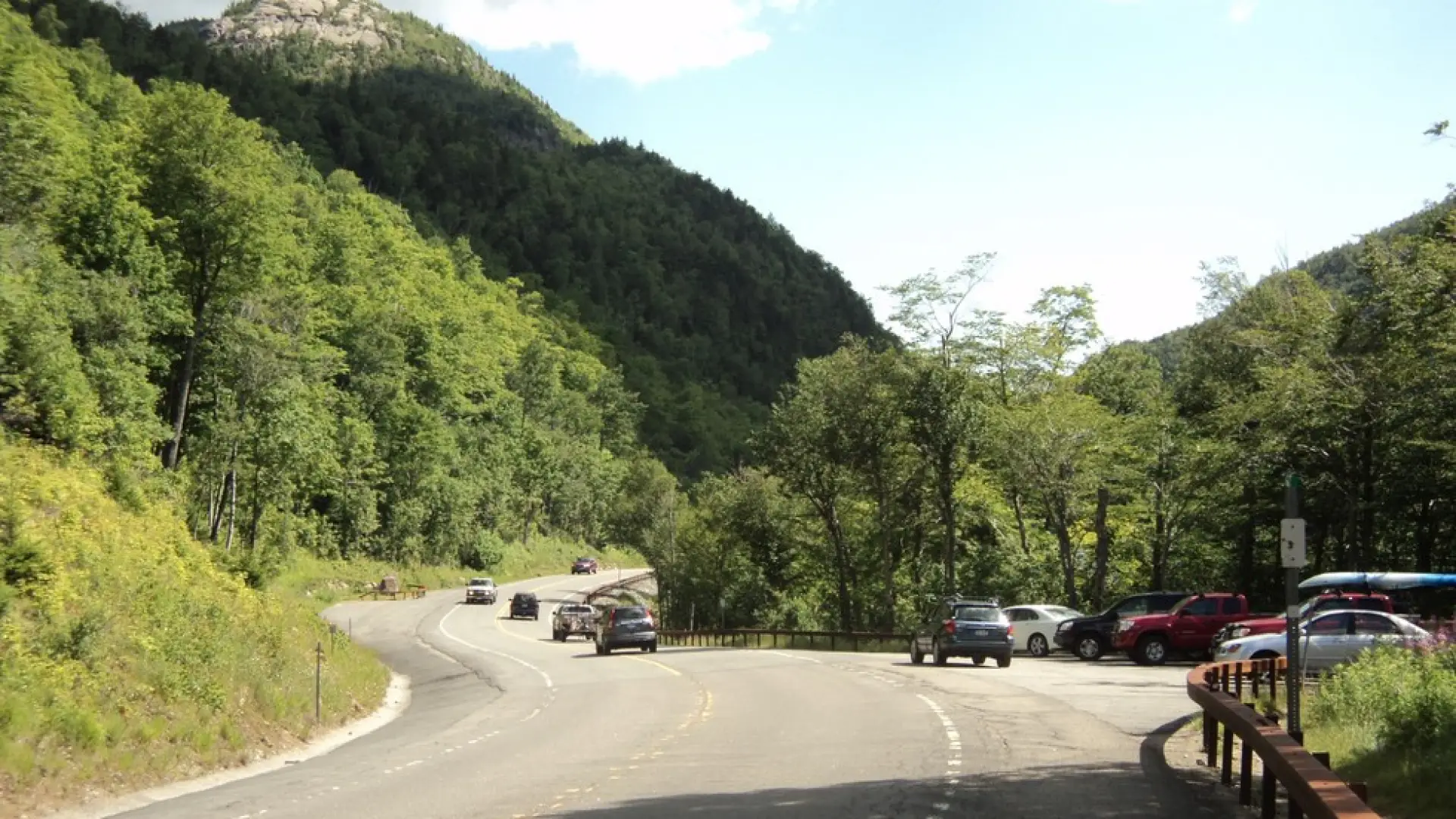
From the intersection of Route 73 and Route 86 in Lake Placid, follow Route 73 toward Keene. Continue on Route 73 for 7.5 miles to the Pitchoff West Trail. Parking fills up fast during the summer.
