- Out and Back
- Out and Back
- Out and Back


About
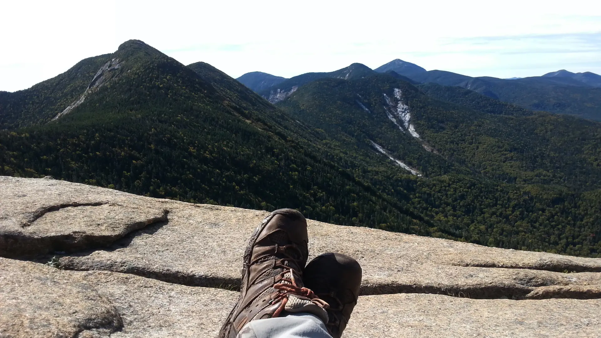
Hiking New York state's 22nd tallest mountain
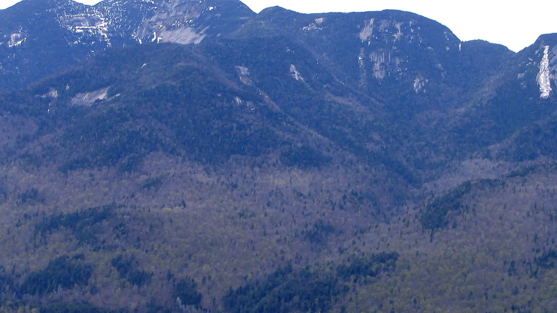
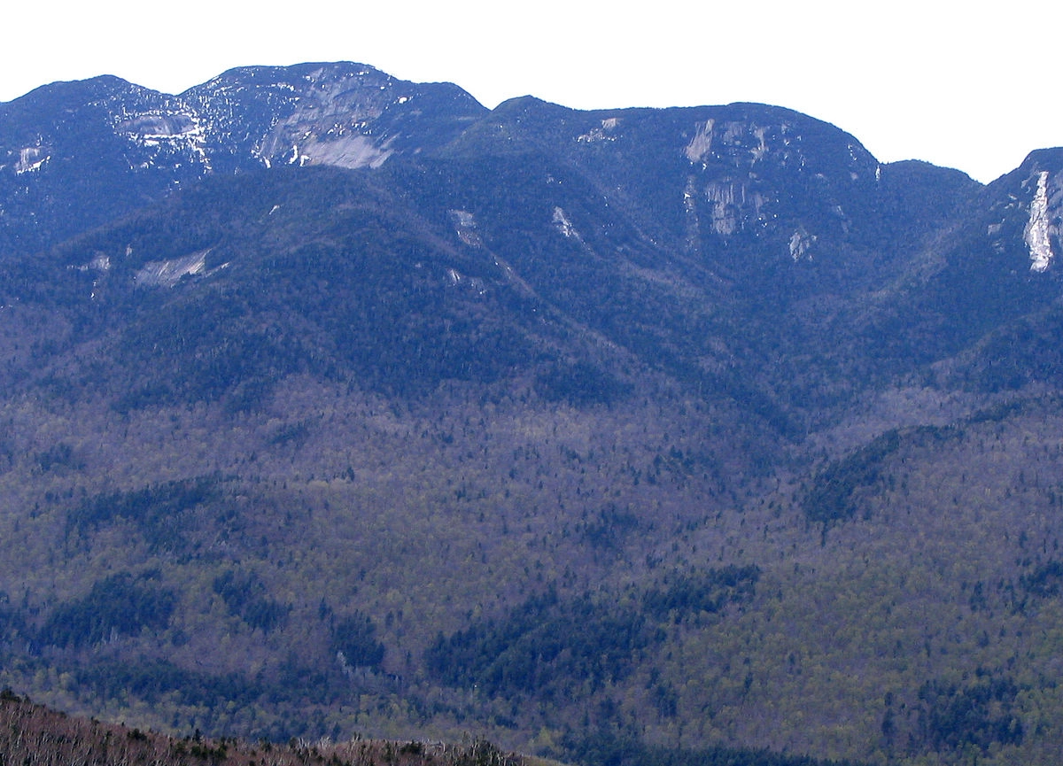
Named after Thomas Armstrong, a 19th Century lumberman. There are great views of the upper Great Range and Johns Brook Valley. This peak is often tackled as part of the Gothics, Armstrong, Upper Wolf Jaw Mountain & Lower Wolf Jaw Mountain loop. A successful hike of Armstrong involves research, physical fitness, the right gear, and knowledge of Leave No Trace principles.
SPECIAL INFORMATION
This hike is accessed through a conservation easement with the Adirondack Mountain Reserve (AMR). A parking reservation is needed from May 1 - October 31. Although it is called a “parking reservation,” everyone will need a reservation to access hikes leaving from AMR, whether you drove yourself, rode a bike, got dropped-off, or walked. These reservations can be made online via the AMR website. For more information, please read these FAQs or contact the New York State Department of Environmental Conservation.
Key takeaways
- Distance: 11.2 miles round trip
- Elevation: 4,440 feet
- Elevation gain: 3,500 feet
- Hike includes trail junctions, bridges, ladders, and a road walk
- Based on a hike out and back via the Beaver Meadow Falls Trail
Hiking Armstrong via the Beaver Meadow Falls trail
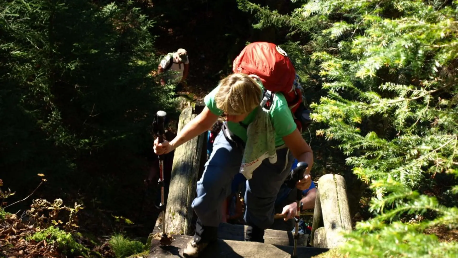
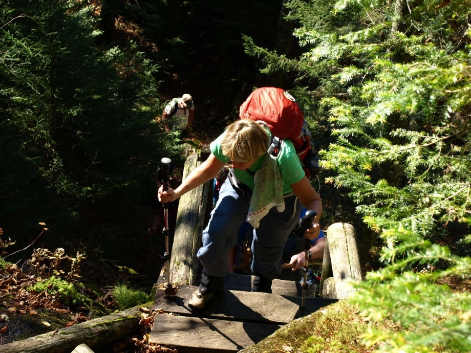
From the parking lot you will initially have to follow a dirt road to a paved road next to a golf course. At 0.5 miles from the parking area, turn left and down between two tennis courts on Lake Road Way to get to the gate into the AMR. The AMR is a private property area with recreational easements, special rules apply to use and those are posted at the gate. At the gate you will need to hike the dirt access road for around 2.0 miles to the Gothics access trail on the right. This trail leads through the forest to a bridge over the Ausable River and then to the base of Beaver Meadow Falls.
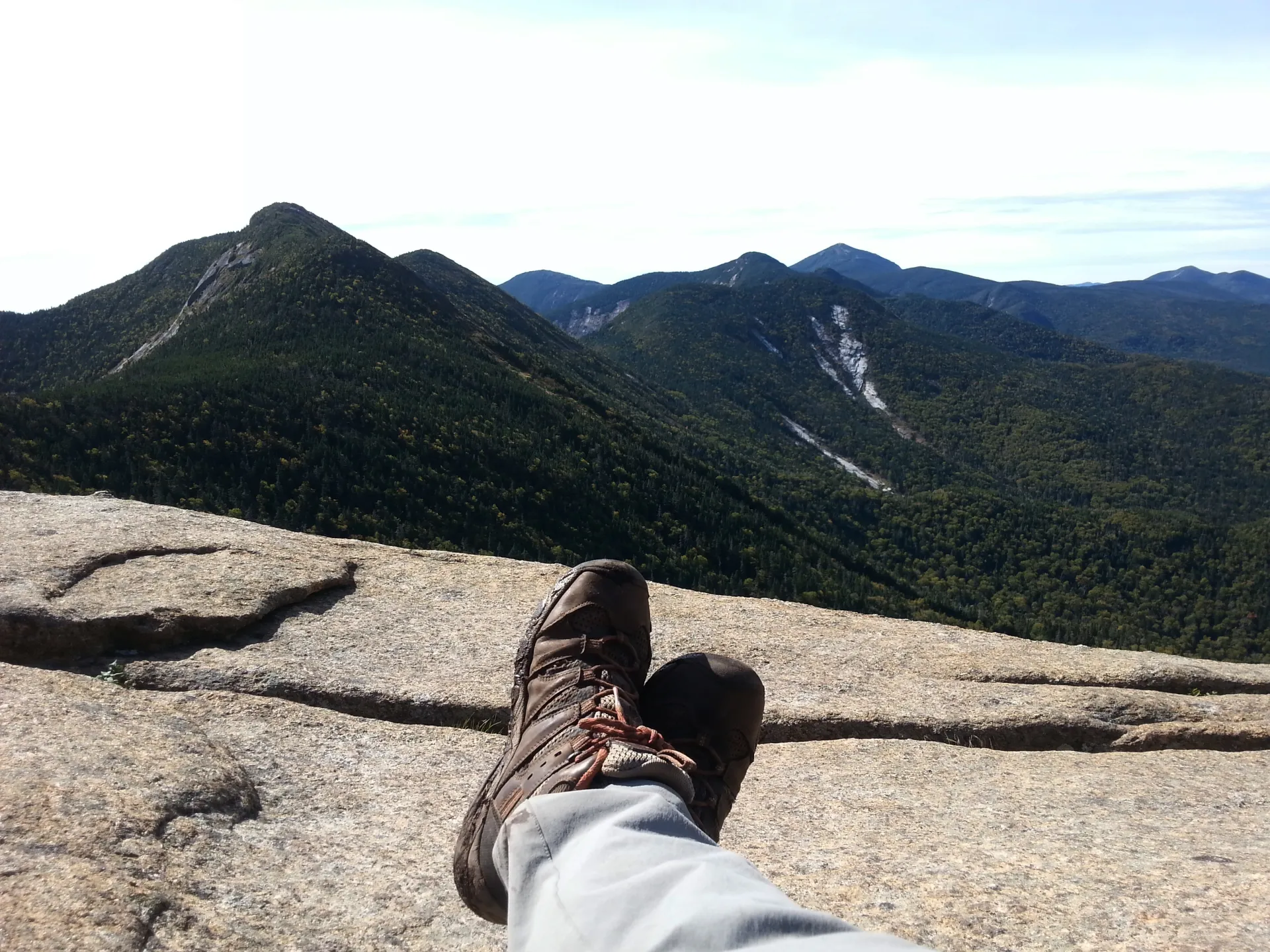
The trail climbs steeply to the left of the falls over a ladder and slippery conditions to near the top of the falls. From this point the trail becomes a steady climb with a few steep sections and a couple smaller ladders to descend. This trail leads up to the Great Range Trail where Armstrong is to your right and Gothics to the left. From this intersection, it is less than 0.5 miles to Armstrong, but the trail descends steeply into a col before climbing to Armstrong's summit, which is a large rock platform.
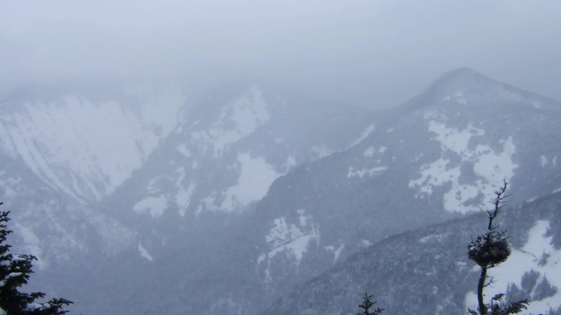
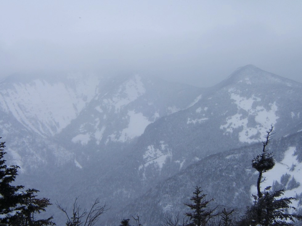
Armstrong in the winter
Armstrong is a challenging mountain that should only be attempted by experienced hikers, especially in winter, so make sure you are prepared. Snowshoes are necessary, and snow spikes or crampons are needed. Plan on temperatures in the higher elevations being at least 20 degrees colder than at the trailhead, not including the windchill. Bring several extra non-cotton layers, a headlamp with spare batteries, extra food, a windbreaker, goggles, a face mask, and supplies for spending the night in case of an emergency.
Find your perfect trail near Keene Valley
Does Armstrong sound amazing, but a little more than you want to tackle right now? No need to stress, with over 2000 miles of hiking trails in the Adirondacks we are sure we can find the perfect hike for you.
How to get there
Leave Lake Placid on Route 73, follow Route 73 through Keene and Keene Valley and into Saint Huberts. Parking is across the road from the Roaring Brook Falls Trailhead for Giant Mountain. The approach is on the private property of the Adirondack Mountain Reserve (AMR) and dogs are absolutely prohibited on AMR lands.
Emergency Information
Related Content

Ready to hike in the High Peaks? There is no set way for how to become a 46er, but there is a R.I.G.H.T. way.