
- Out and Back
- Out and Back
- Out and Back


About
*TRAIL CLOSURE: Access to Avalanche Lake from the Adirondack Loj/South Meadows trailheads has been closed due to sizable mudslides from Mount Colden. Do not plan a loop hike of Algonquin, Wright, and Iroquois through Avalanche Pass at this time. Keep up to date on the latest information here.
Hiking New York state’s 2nd tallest peak
Algonquin Peak is the state’s 2nd highest mountain. It is a steep, strenuous hike for much of its length. A successful summit requires physical fitness, research of the trail, correct gear, and knowledge of Leave No Trace principles.
Key takeaways
- Distance: 7.8 miles round trip
- Elevation: 5,114 feet
- Elevation gain: 3,050 feet
- Hike includes trail junctions, steep rock slab, water crossings, and an exposed summit
- Numbers based on an out-and-back hike from the High Peaks Info Center
- Algonquin's summit is home to fragile alpine vegetation — avoid trampling it by staying on the rocks at all times
Hiking Algonquin Peak
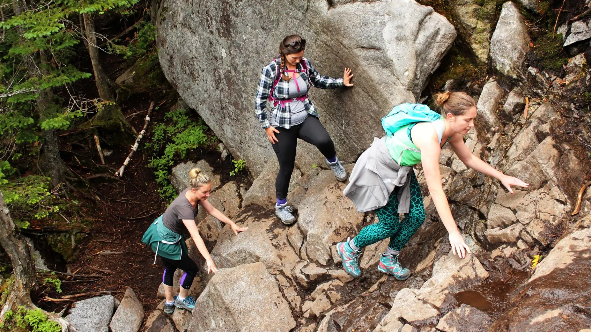
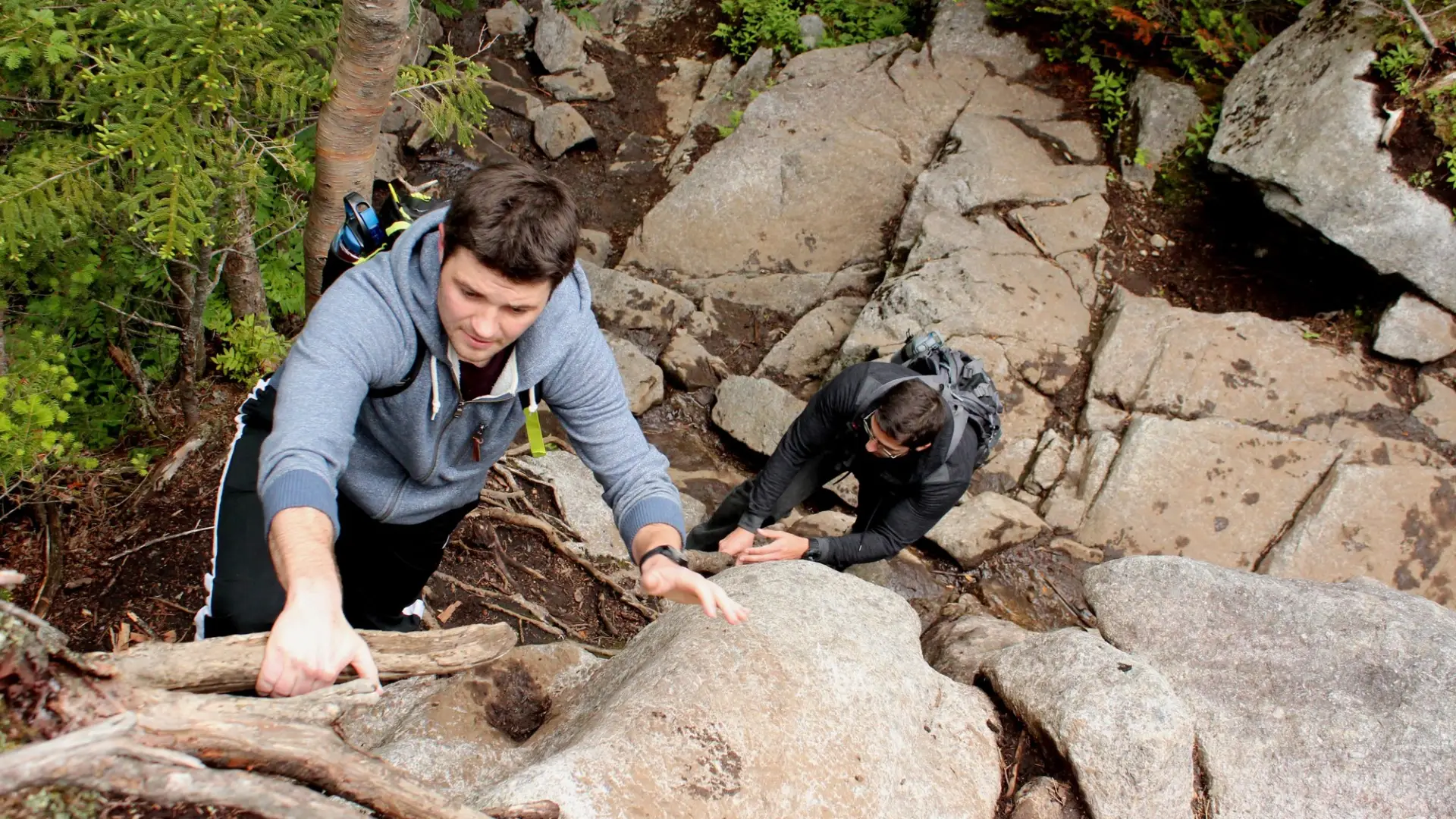
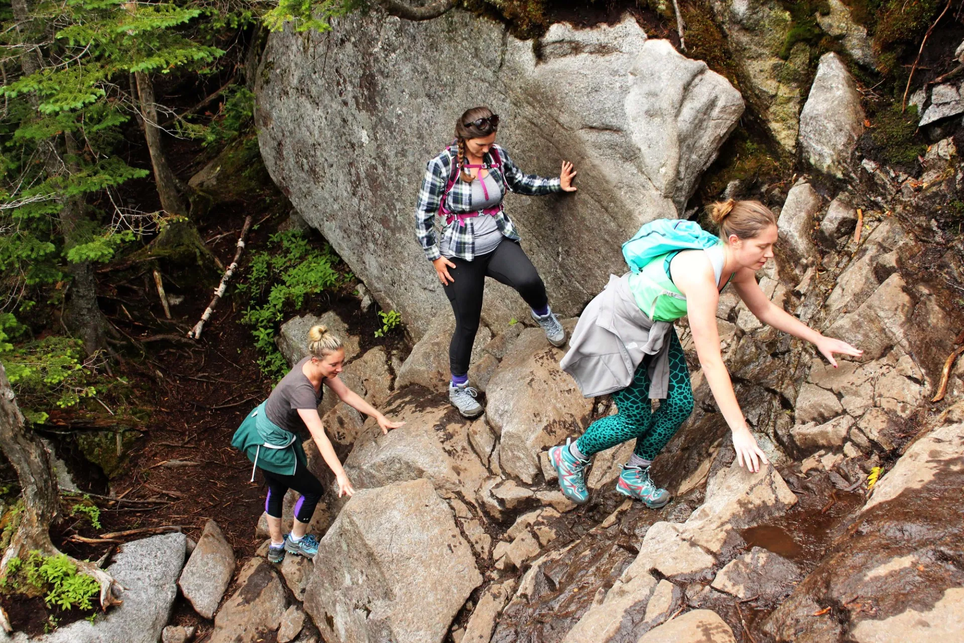
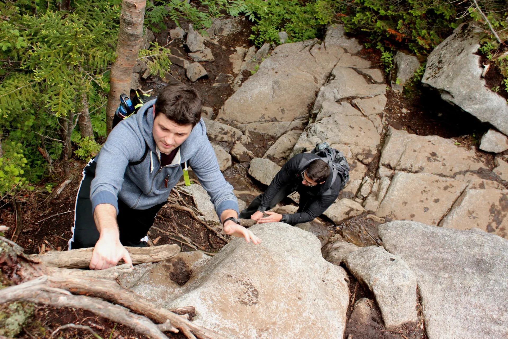
The shortest route to Algonquin Peak’s open summit is from the High Peaks Information Center (HPIC) parking area. This roughly 8 mile round trip hike starts along the popular trail that leads to the former site of Marcy Dam. The path traverses rolling terrain to an intersection at the 1 mile point. Continue straight to head up Algonquin. The path gets steadily steeper and reaches an impressive waterfall (MacIntyre Falls) at 2.6 miles.
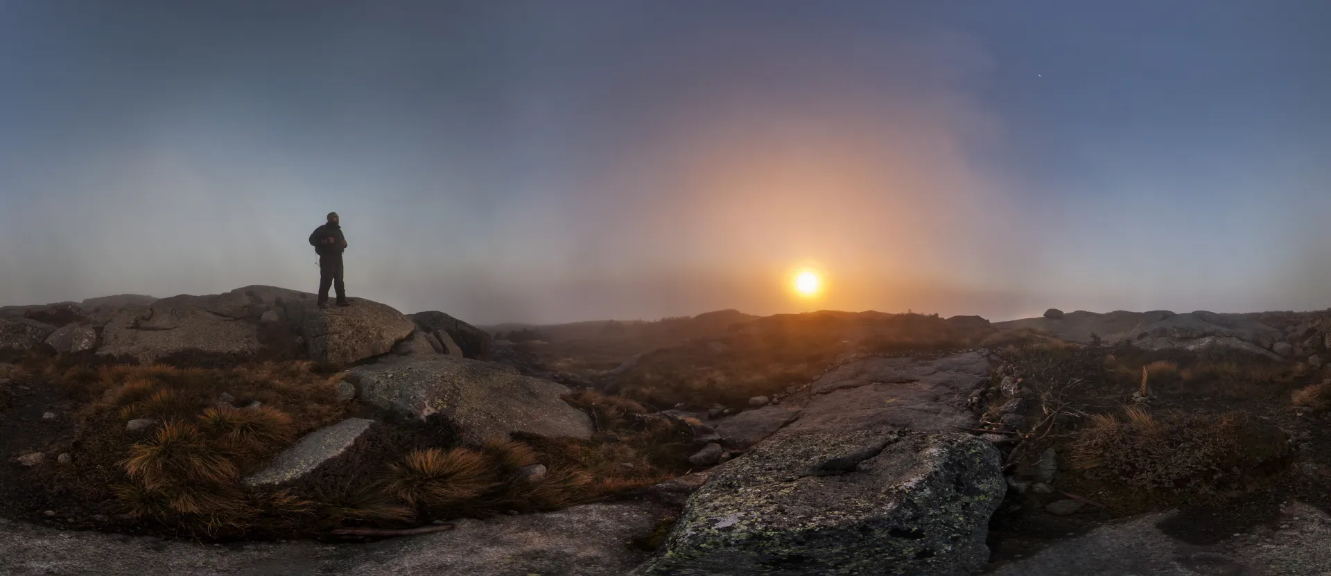
After two steep, rocky sections the path levels out, then it makes a sharp left at 3 miles, where a sign warns hikers about rapidly changing weather conditions above timberline. Heed the warning — from this point on much of the trail is open and exposed to the elements.
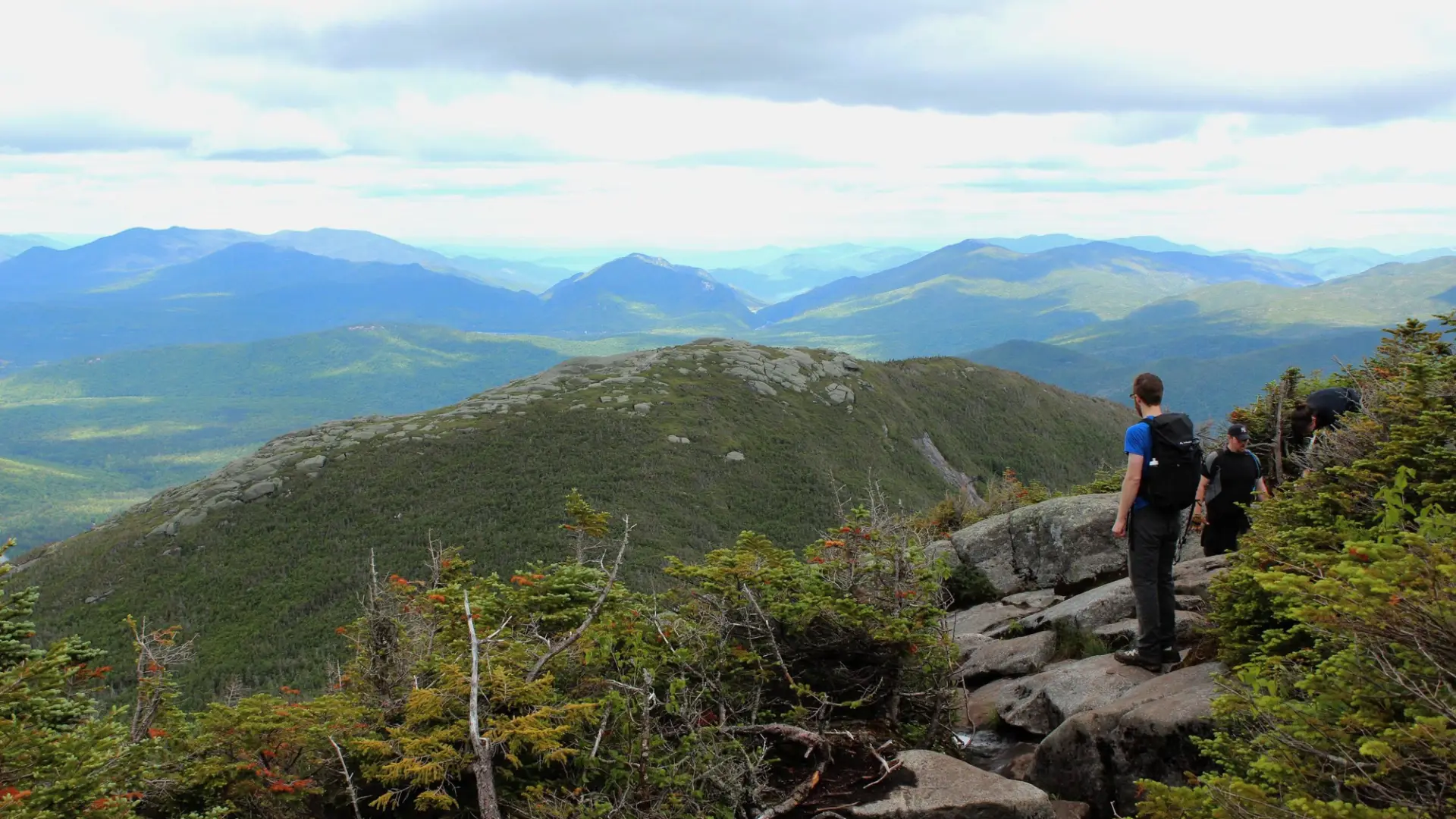
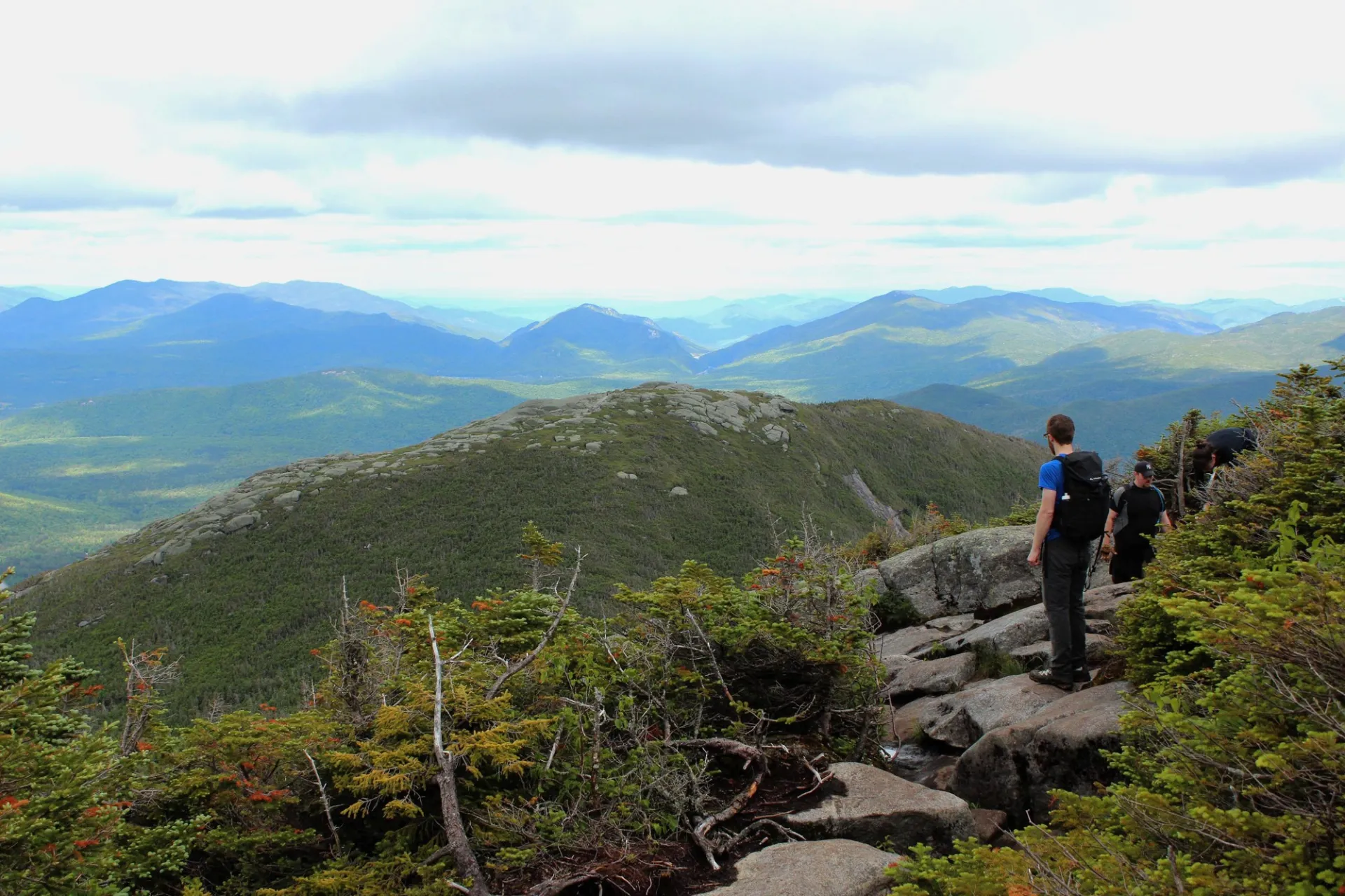
Shortly after the sign the intersection with the trail up Wright Peak’s summit is reached at 3.2 miles. The left-most trail goes up Wright, and continuing straight will take you up Algonquin. The path up from here varies from steep to very steep as it approaches tree line, after which it is completely open as it steeply approaches the summit at 3.9 miles.
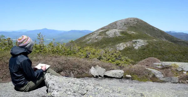
The trail continues over the top of Algonquin, following the mostly open ridge to Boundary and Iroquois mountains. A loop option that includes a return through Avalanche Pass is possible by taking the path to Lake Colden from the col between Algonquin and Boundary, then turning left toward the pass. This is an extremely steep, rugged trail that will add significant time to the hike, so plan accordingly. Only attempt this option if you have extensive hiking experience.
Algonquin Peak in the winter
Algonquin is a challenging mountain that should only be attempted by experienced hikers, especially in winter. Snowshoes are a must for much of the route, and microspikes or crampons are necessary to climb the exposed upper reaches of the peak. Plan on the temperature in the higher elevations being at least 20 degrees colder than in the valley, not including the windchill. Bring several extra non-cotton layers, a headlamp with spare batteries, extra food, and supplies for spending the night in case of emergency. Remember, above tree line conditions can get very dangerous very fast, with heavy winds, arctic conditions, white-outs, icy conditions, and severe wind-chill.
Find your perfect trail near Lake Placid
Does Algonquin Peak sound amazing, but a little more than you want to tackle right now? No need to stress, with over 2000 miles of hiking trails in the Adirondacks we are sure we can find the perfect hike for you.
How to get there
Leave Lake Placid on Route 73 and follow it toward Keene. Take the first right after the ski jumps onto Adirondack Loj Road and follow it to its end at the large parking lot. There is a fee to park here, and the lot is often full on summer days so get there early.
Emergency Information
Related Content

Lake Placid, NY is home to short hikes, moderate hikes, and longer hikes, making us the perfect hiking destination for any hiker! Read these hiking safety and etiquette tips that will keep you safe and happy on the trails this summer!
A hike to the summit of an Adirondack High Peak is like walking back in time. Algonquin, the Adirondacks' second-highest mountain, is an ideal place to see this living museum first-hand. Starting at the Adirondak Loj, the trail begins with an easy...