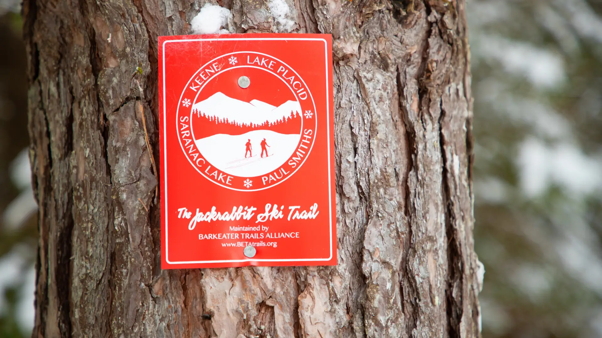

About
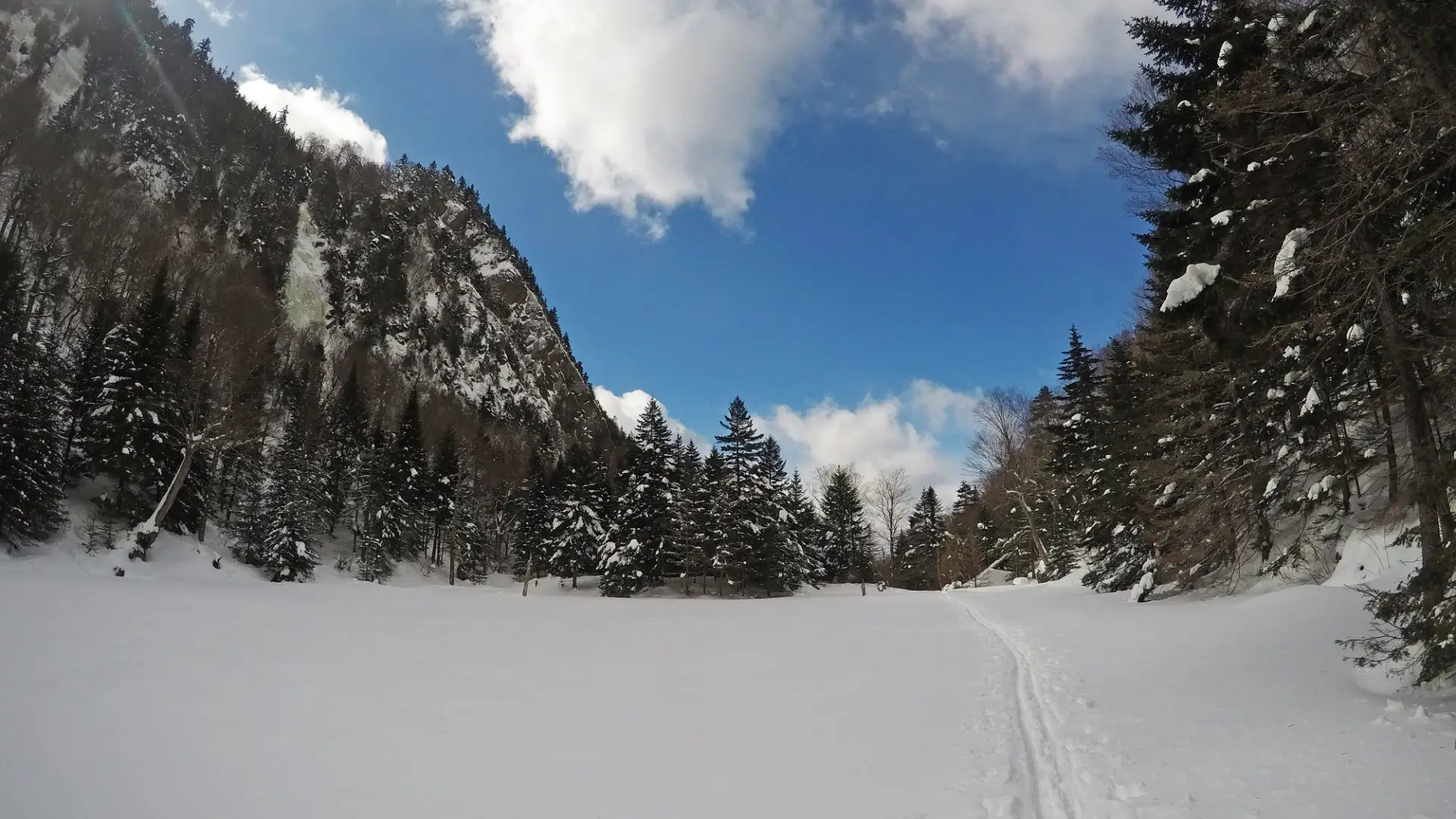
These 3.5 miles are the last 3.5 miles of the Jackrabbit Ski Trail, and one of the most scenic sections.
Key takeaways
- Distance: 3.5 miles point to point
- Elevation gain: 200 feet
Cross-country skiing
From the trailhead you will ski on a nearly flat surface and cross a small beaver pond. Not far beyond is a decent sized hill that will need to be climbed. Once you crest the hill you will have a nice downhill with a couple small turns that will bring you down to another beaver marsh. That is the only big hill on the trail. With a couple small hills in front of you, it’s a nice ski out to Rock and River Guide Service at the end of the trail at Alstead Hill Road. This is where you would want to spot a car if you have the option, if not feel free to turn around whenever you wish to ski back to the trailhead.
Doing this ski as an end to end trip is a great option, especially if you start from Old Mountain Road. You'll gain elevation for 0.75 miles, and then it's all downhill with great views.
How to get there
Leave Lake Placid on Route 73 heading toward Keene. Continue to Old Mountain Road on the left and follow it. Continue to its end at the trailhead. Please respect the private property around the area.