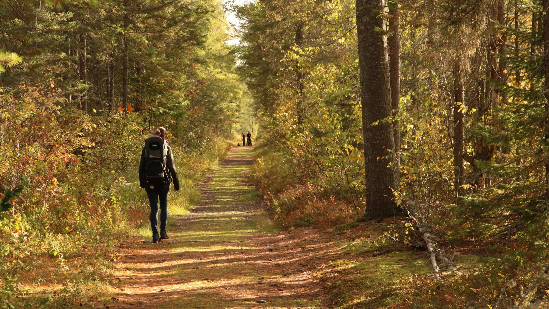
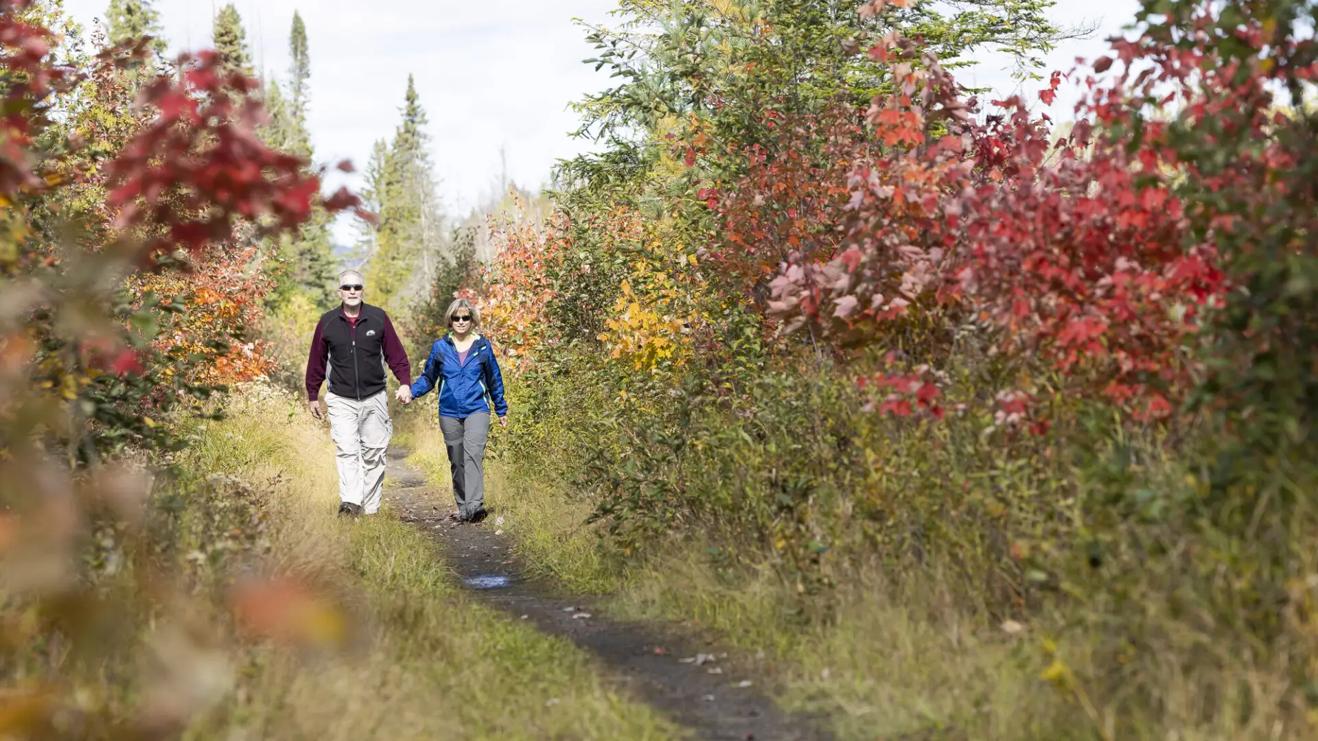


The Bloomingdale Bog Trail is a scenic, end-to-end path that follows an old railroad corridor that connects Saranac Lake to Bloomingdale. The entire route is wide, level, and mostly straight, making it perfect for a casual stroll or bike ride. The trail from the Bloomingdale end is smooth enough for strollers with big tires.
Key takeaways
- Distance: 3.7 miles from Saranac Lake to Bloomingdale
- Elevation gain: Less than 25 feet one way
Hiking, birding, and biking
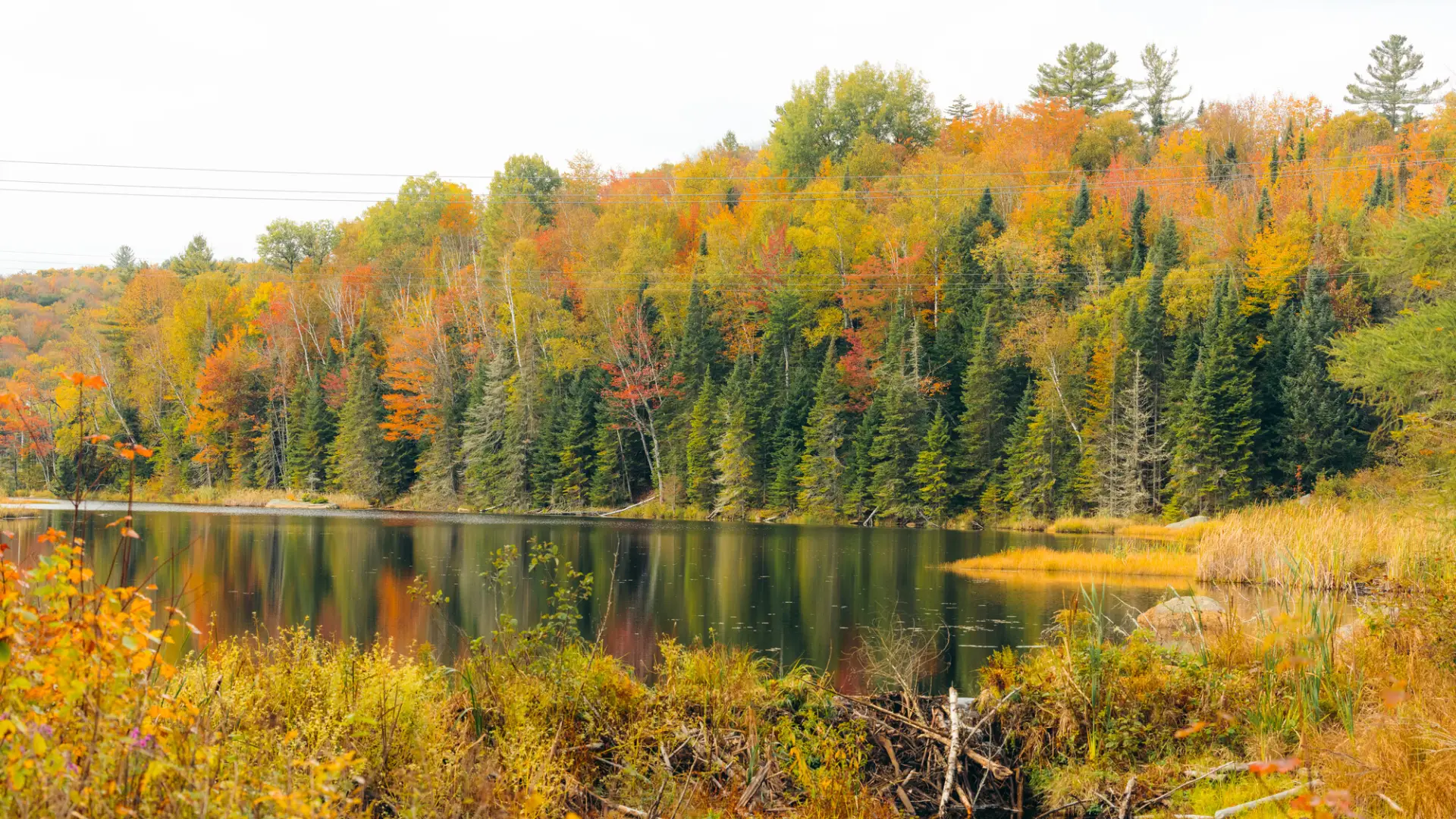
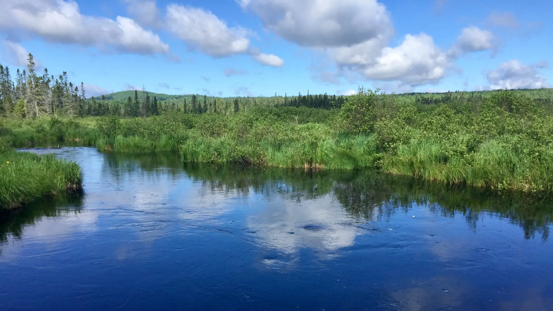
Since the entire trail follows an abandoned railroad corridor — don't worry, the tracks are long gone — it provides easy access to a scenic bog and all of the birds, beavers, conifers, and unique plants that call it home. Along the way there are wide-open views of surrounding mountains intermixed with dense, lush, boreal forests.
Starting at the Saranac Lake end of the trail, bog-goers will first have views over open water (be on the lookout for American bitterns, great blue herons, and bald eagles here) before entering the woods. Soon after that the bog will appear, followed by more sections of woods. After a mile or so the signs of beaver activity become plentiful — if you are here in the evening, you might even see one. Thanks to the beavers, this end of the trail is prone to flooding.
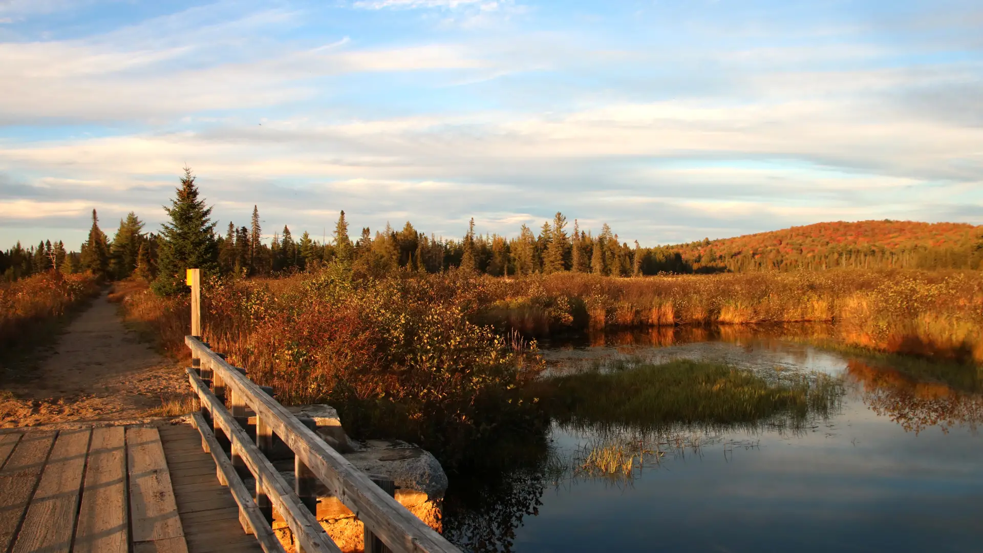
From the Bloomingdale end, the bog presents itself immediately. Visitors to this section will find open areas studded with tamaracks, the only needle-bearing (coniferous) tree to lose its needles in the fall, and bird feeders for attracting the resident gray jays. About a mile in is Two Bridge Brook, a beautiful, open area of bog in which two brooks converge. The bridge is a fantastic destination for anyone looking for a quick out-and-back.
Bloomingdale Bog in the winter
Access in the winter is open, and the trail is commonly done by cross-country ski, and is also done via snowshoe. This is a local's favorite trail, and as such, expect there to be traffic on it during a nice winter day.
Explore more trails in Saranac Lake
Looking to hike some more in Saranac Lake? We can help you find more uniquely Saranac Lake trails!
How to get there
The Bloomingdale Bog Trail is an end-to-end trail, so there are two trailheads, one in Saranac Lake and one in Bloomingdale.
Saranac Lake trailhead: From downtown Saranac Lake, take Route 86 west, heading toward Paul Smiths. After about 2.5 miles, look for a black silhouette cutout of a man on a tractor. It's on the right side of the road, next to a dirt road. Take that dirt road and you'll immediately see a parking area on the left, a yellow metal gate, and a brown and yellow DEC sign marking the trailhead.
Bloomingdale trailhead: From downtown Saranac Lake, head east on Route 3, toward Bloomingdale. After about 6.5 miles you'll come to a four-way intersection. Continue straight and follow the road as it curves to the left. After 1.7 miles, look for a pulloff on the left and a yellow metal gate with a stop sign on it. There's a brown and yellow DEC sign on the tree to the left of the gate; this is the beginning of the trail.