- Out and Back
- Out and Back
- Out and Back
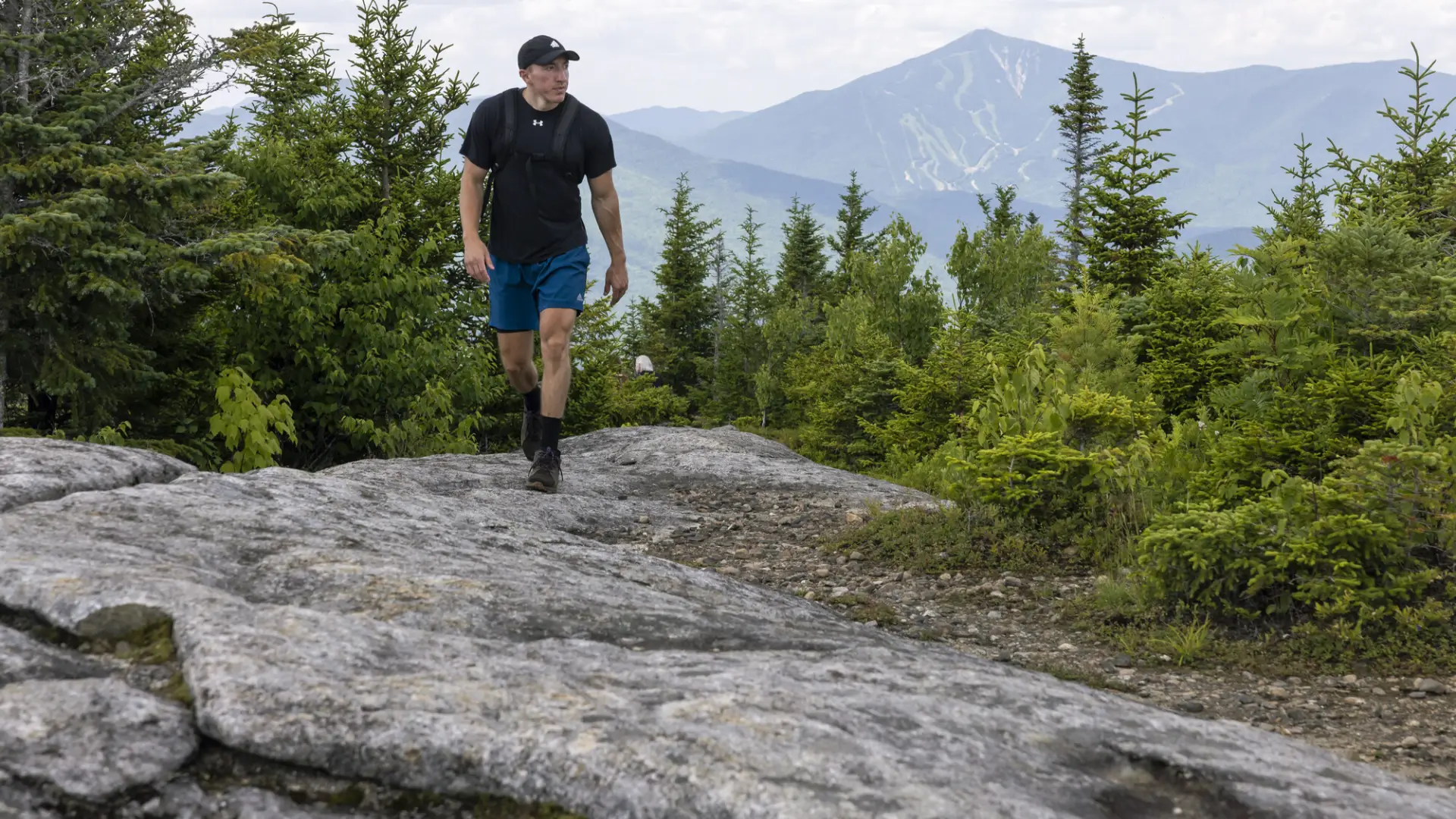
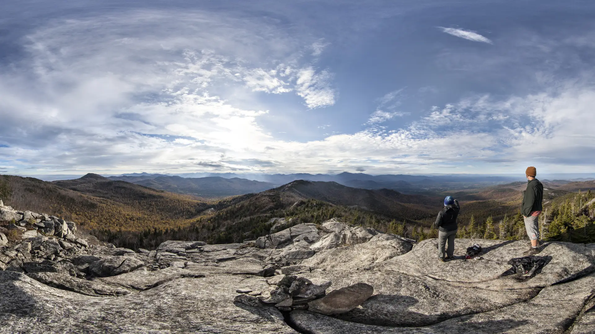


Jay Mountain is a moderate hike through stunning forests to an open ridegline trail that provides many great scenic vistas on the way to a rocky summit. It is a steep, serious hike that requires preparation. Hikers should learn about Leave No Trace principles before hiking any trail in the Adirondacks, and carry the proper gear.
Key takeaways
- Mileage: 4.6 miles round trip to the end of the the marked trail (first summit), 7.3 miles round trip to the true summit (with metal benchmark)
- Elevation gain: 2,000 feet for the first summit, 2,675 feet to the true summit
- Hike includes steep rock slab, unmarked trail, and exposed summits
Hiking Jay Mountain
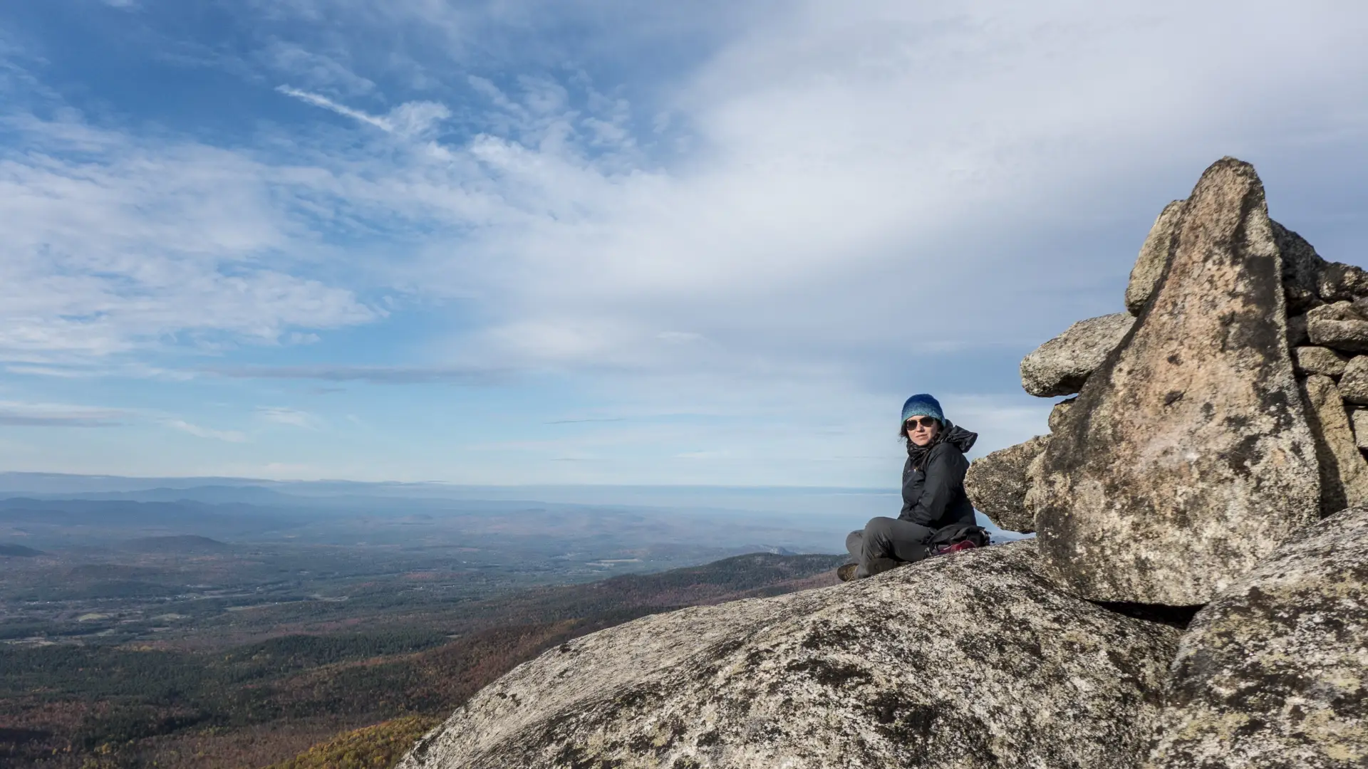
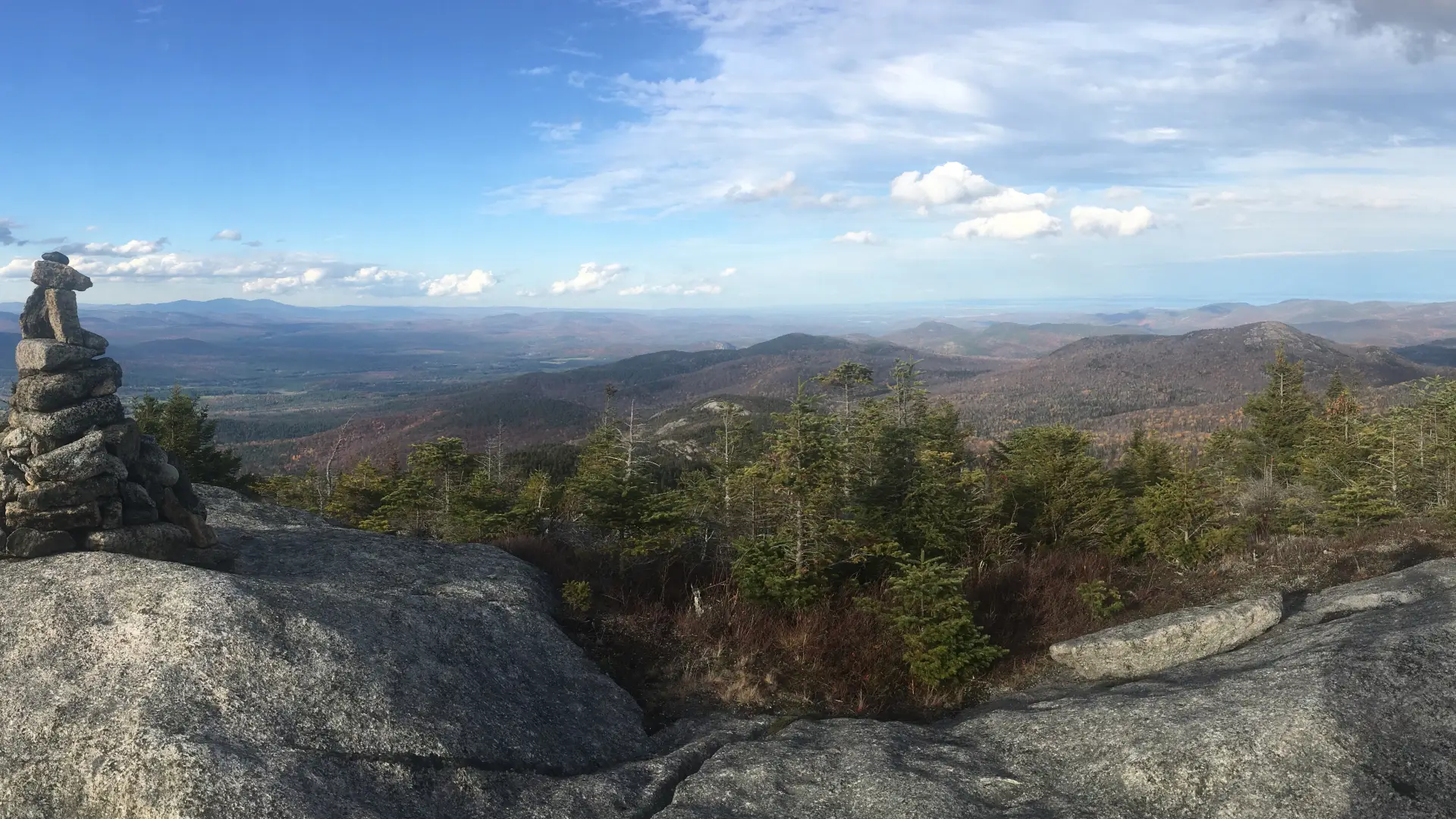
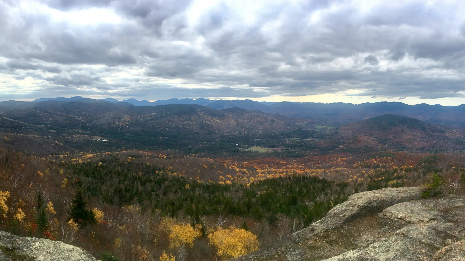
As the moderate trail passes through a mixed forest, leading past old stone walls, and generally increasing in steepness, you will come to the open ridge after 2.5 miles of climbing. Ending here is often the choice; the views are spectacular and this is the end of the marked trail. But more views and climbing are ahead. Continuing along the herd path along the ridge, you pass in and out of the trees as you climb and descend many bumps. There are a few tricky sections of open rock where care is needed. Many sections that look difficult usually have a path along an easier route. The trail ends at the east end of the ridge at a summit with a benchmark.
Jay Mountain in the winter
This is a fairly popular trail so it is likely to be broken out to the first viewpoint. After the end of the marked trail, some sections may be tricky in snowshoes, so caution is needed. This trail is not suitable for cross-country skiing, and is quite remote when you descend from the first viewpoint. Make sure you are prepared. Snowshoes and microspikes are necessary. Plan on temperatures in the higher elevations being at least 20 degrees colder than at the trailhead, not including the windchill. Bring several extra non-cotton layers, a headlamp with spare batteries, extra food, a windbreaker, goggles, and face mask. Turning around is always an option.
Find your perfect trail in the Adirondacks
Does Jay Mountain sound amazing, but a little more than you want to tackle right now? No need to stress, with over 2000 miles of hiking trails in the Adirondacks we are sure we can find the perfect hike for you.
How to get there
From Lake Placid, take Route 86 toward Wilmington. From the four-way intersection in Wilmington, follow Route 86 toward Jay. In Jay, take a left onto Route 9N and then an immediate right onto Glen Road. Follow Glen Road to its end, and turn left on Jay Mountain Road. Continue for just under a mile to the intersection with Upland Meadows Road, which will be on the right, the trail is right near this intersection.