- Out and Back
- Out and Back
- Out and Back


Hiking New York's 26th tallest mountain
Allen Mountain is a long, steep, and serious hike that requires significant preparation. A successful hike of Allen involves research, physical fitness, the right gear, and knowledge of Leave No Trace principles.
Key takeaways
- Elevation: 4,340 feet
- Elevation gain: 3,700 feet
- Distance: 18 miles, roundtrip
- Hike includes water crossings, unmarked trail, steep rock slab, bridge, and trail junctions
Hiking Allen Mountain
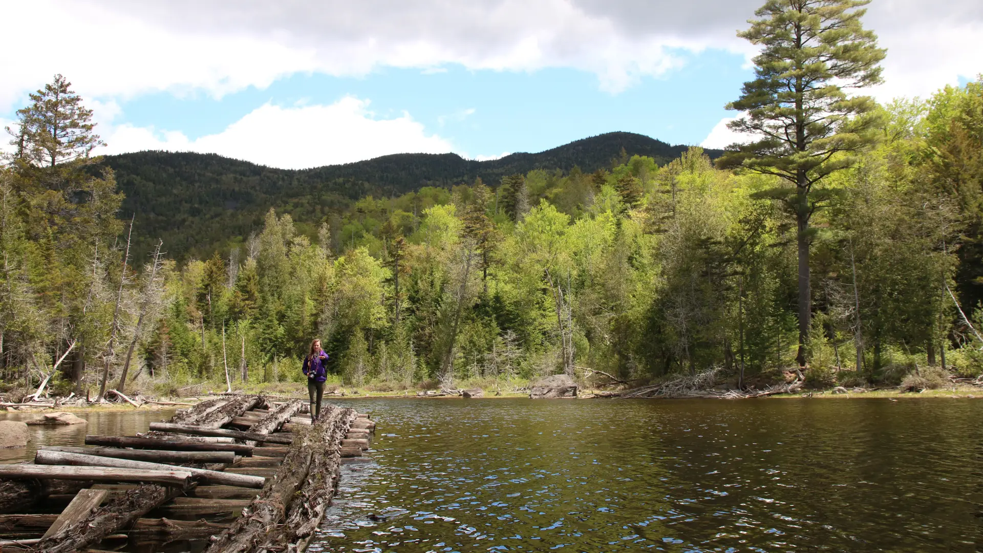
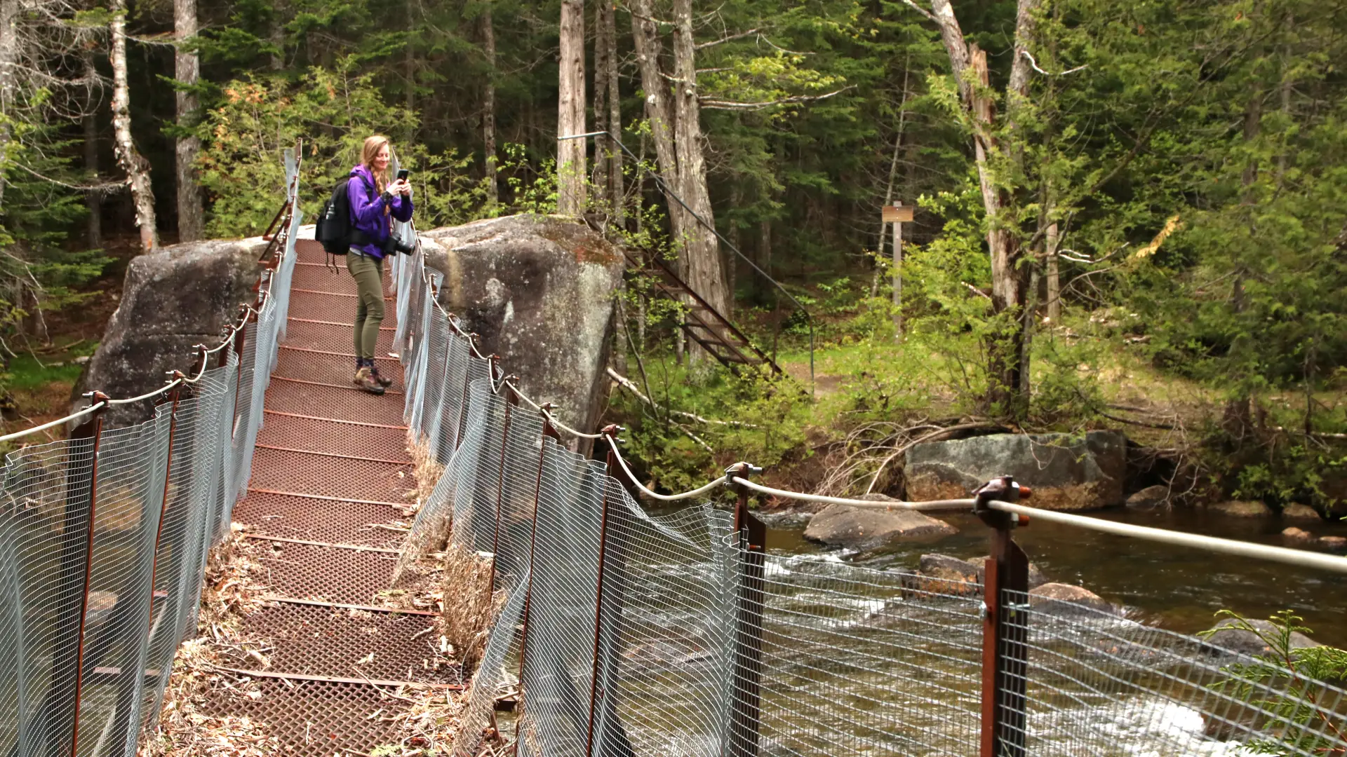
From the trailhead you will descend a bit to a bridge crossing of the Hudson River. After a short walk through an attractive forest you will come to Lake Jimmy and a sharp left turn for a new bypass that avoids the not-so-good floating bridge. Much of the hike will bring you along a state trail that follows not only foot trails but old woods roads and even a gravel road or two. The bridge over the Opalescent River was destroyed in a storm in October 2019. At this time, there is no plan to replace it.
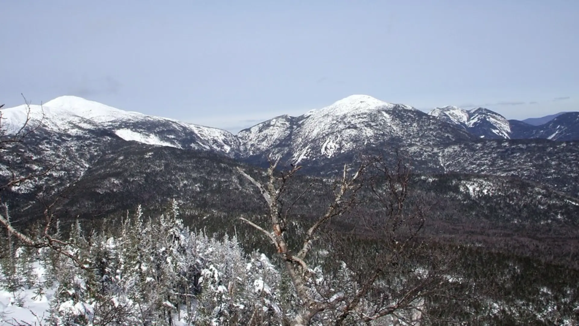
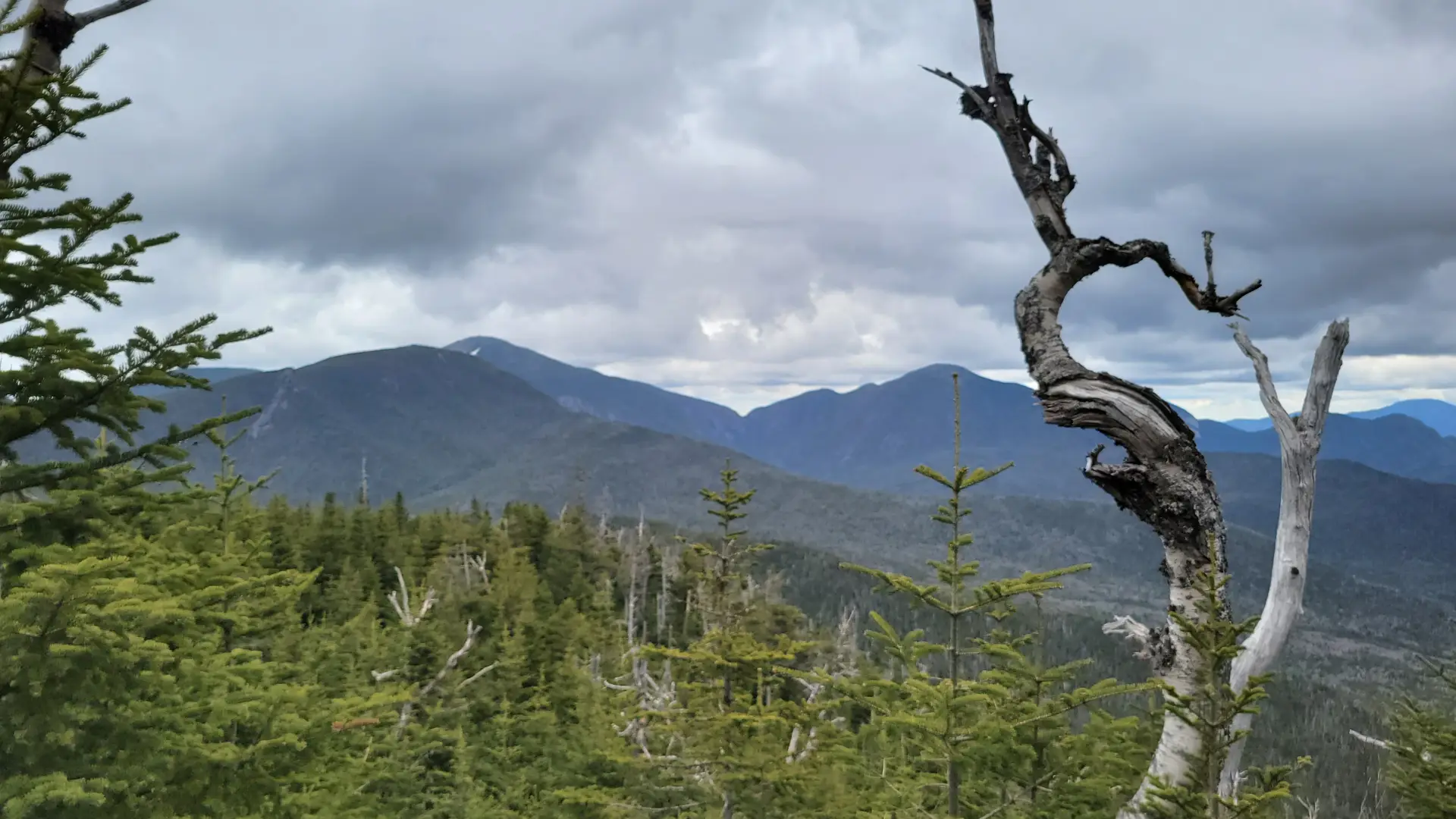
At 5 miles go right on an obvious, but unmarked, trail. As you approach the top and start following Allen Brook the terrain gets much steeper. Along Allen Brook there is a slide that can be climbed, but care is needed as it is very slippery – a rough herd path on the side will avoid the exposed rock. The summit is treed but off to the side there is an opening or two to take in excellent views of the area.
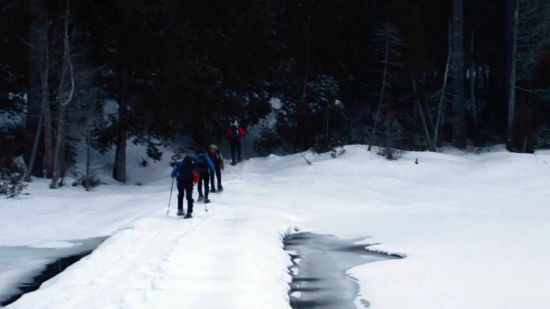
Allen Mountain in the winter
Allen is a challenging mountain that should only be attempted by experienced hikers, especially in winter, so make sure you are prepared. Snowshoes are necessary, and snow spikes or crampons are needed to climb the steep upper sections of the peak. Plan on temperatures in the higher elevations being at least 20 degrees colder than at the trailhead, not including the windchill. Bring several extra non-cotton layers, a headlamp with spare batteries, extra food, a windbreaker, goggles, a face mask, and supplies for spending the night in case of an emergency. Crossing the Opalescent River can be extremely dangerous in the winter. Do your research, and do not attempt to cross during the beginning or end of winter, or after warm weather. Always use caution at water crossings. Turning around is always an option.
Find more trails in the Adirondack Hub
Does Allen Mountain sound amazing, but a little more than you want to tackle right now? With the Adirondack Hub being at the center of so many trails, we’re sure to find the best hike for you!
How to get there
Use the North Hudson exit on the I-87 (exit 29) and follow the Blue Ridge Road (CR 84) toward Newcomb. Continue for roughly 18 miles to the Tahawus Road (CR25) on the right. Follow this road for 6.3 miles and then left at a junction for another 3 miles to a trailhead on the right.