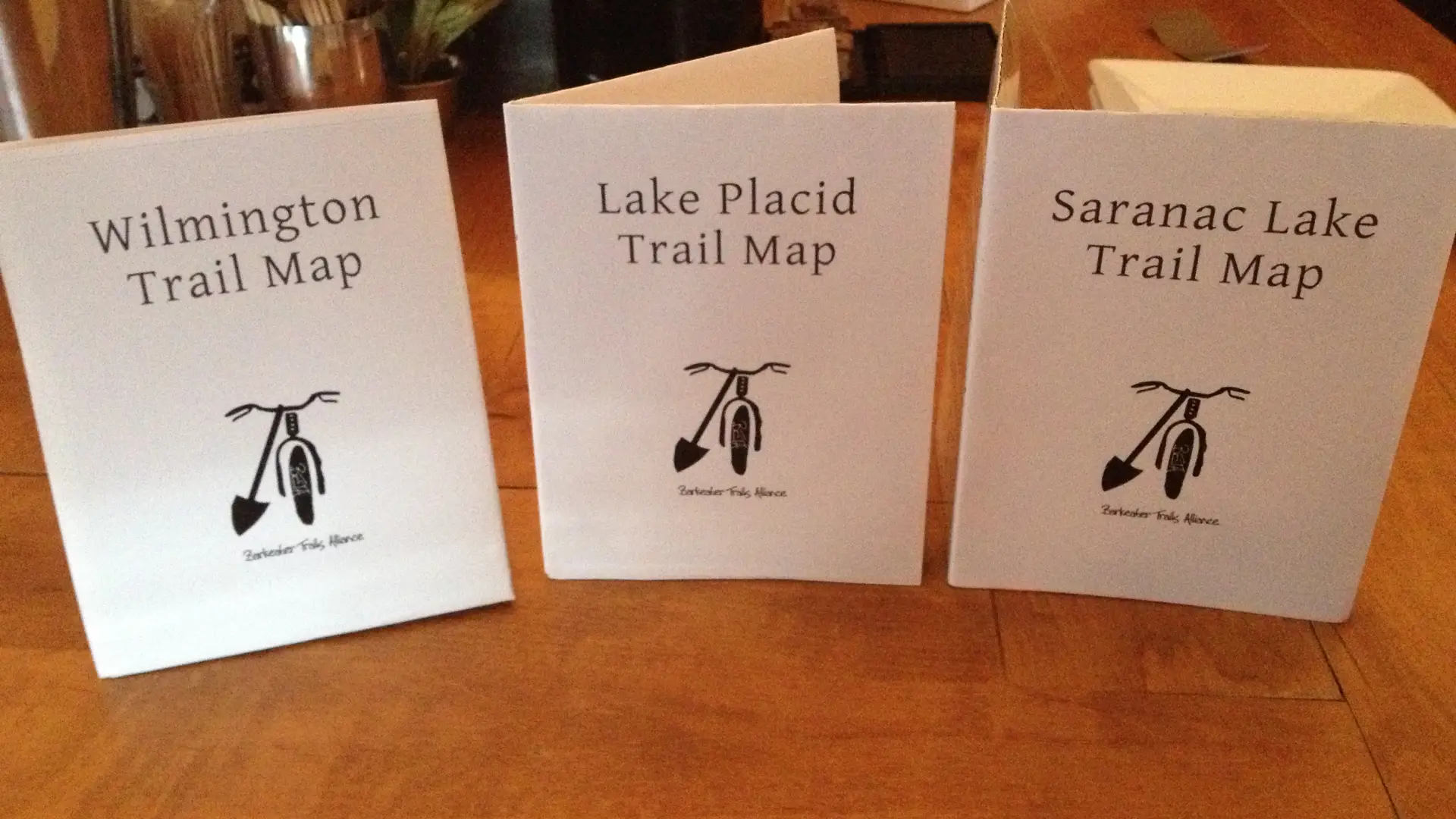
After a long wait, printed maps of the multi-use trail system in the are suitable for mountain biking have finally arrived. This was a project taken on by the passionate mountain bike advocates that make-up the Barkeater Trails Alliance (BETA). Many volunteer hours went into collecting GPS data, and even more hours throughout the winter went into organizing the data on paper so it maked sense to riders coming from out of town. This is a big accomplishment for BETA, and something that is certain to catapult the mountain bike community in Lake Placid forward. Finally, a visitor to the area can stop into a store, pick-up a map, and know exactly where the trails are that are best for mountain biking. BETA will inititally be producing small print runs of the maps so they can be updated regularly as new trails are buillt.
As of this blog post maps are available at Placid Planet Bicycles and High Peaks Cyclery for a suggested retail price of $10. The maps are sold in a set of 3 with the towns of Lake Placid, Saranac Lake, and Wilmington each having their own dedicated map. As the demand for the maps grow the plan is to have them in many other stores. They are printed on high quality, card-stock paper that won't immediately disintegrate if a rider get caught in a rains storm. Stop by High Peaks Cyclery or Placid Planet to get your today!
Explore More
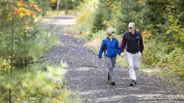
The Adirondack Rail Trail offers a fun new way to adventure and savor Adirondack scenery at your own speed.
Our favorite triathlete shares what it feels like to train for Ironman during the hardest seasons of the year.

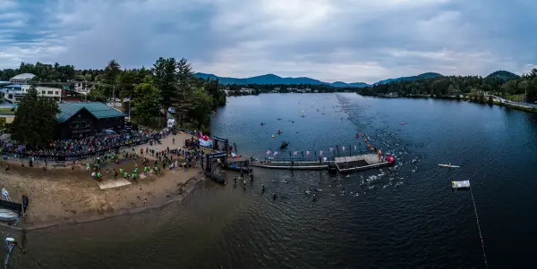
It's a big year for Ironman Lake Placid. This July will mark the village's 20th Ironman race, making it the longest running Ironman in North America. From July 16 - July 22, we're celebrating! But that's not all we're celebrating -- it's also Ironman'...
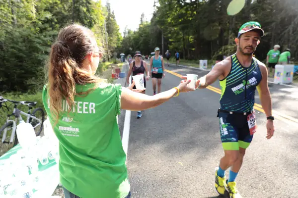
Volunteering at an Ironman race is an incredible and absolutely memorable experience. This year we celebrate our 20th annual event here in Lake Placid and there will be lots of fun celebrations happening throughout race week in recognition of this...