- Out and Back
- Out and Back
- Out and Back


About
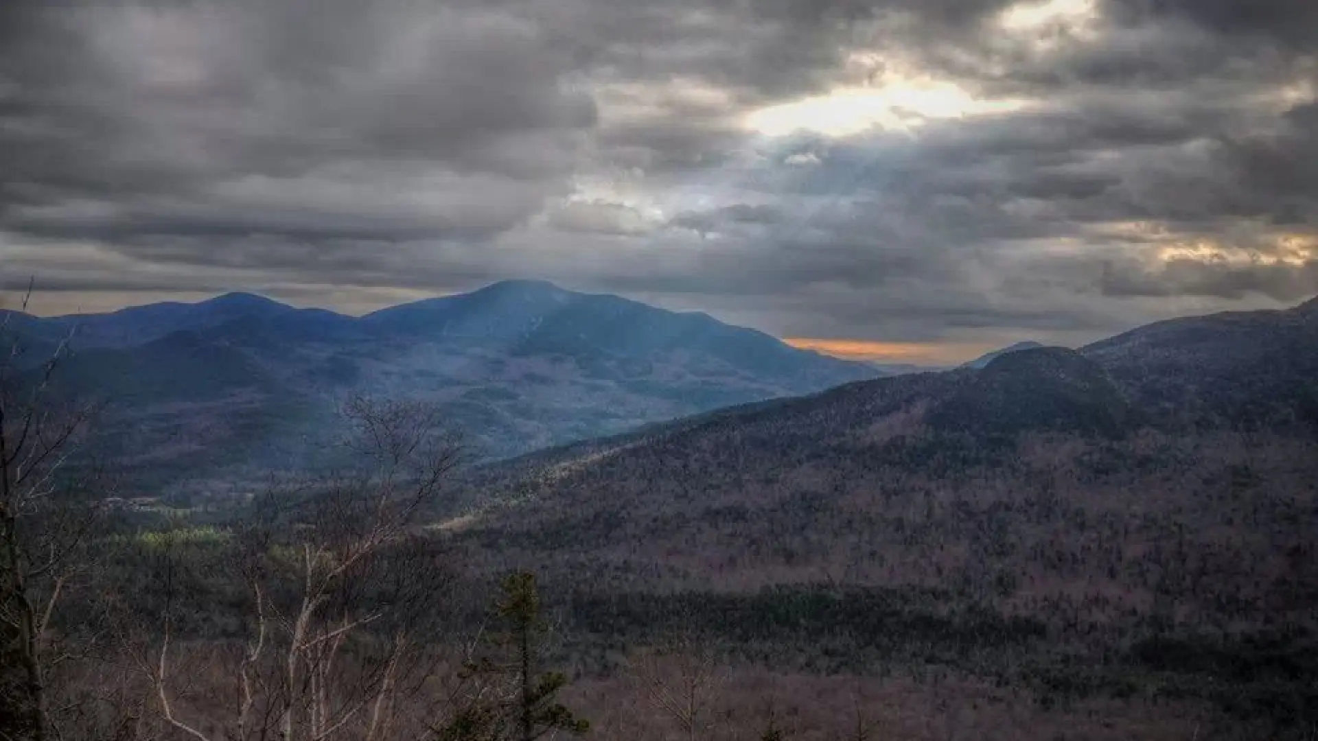
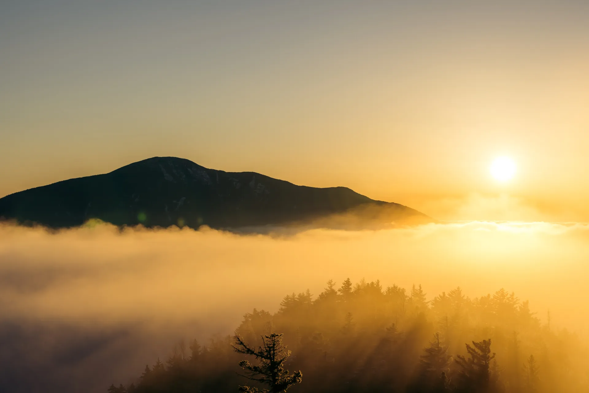
Hiking New York state’s 27th tallest mountain
Big Slide Mountain is the 27th tallest mountain in the state. While a shorter round-trip distance than many High Peaks, there are sections of steep rock and open summit areas. A successful hike of Big Slide Mountain involves research, physical fitness, the right gear, and knowledge of Leave No Trace principles.
Key takeaways
- Distance: 6.8 miles round trip via the Brothers
- Elevation: 4,239 feet
- Elevation gain: 2,950 feet
- Hike includes steep, rocky sections, and trail junctions
Hiking Big Slide
The most common way to hike Big Slide is as an out-and-back via The Brothers, a scenic series of three smaller mountains. Big Slide can also be done via Yard from South Meadows, and as a loop with the trail from Johns Brook Lodge. The trail below describes only the out-and-back via the Brothers.
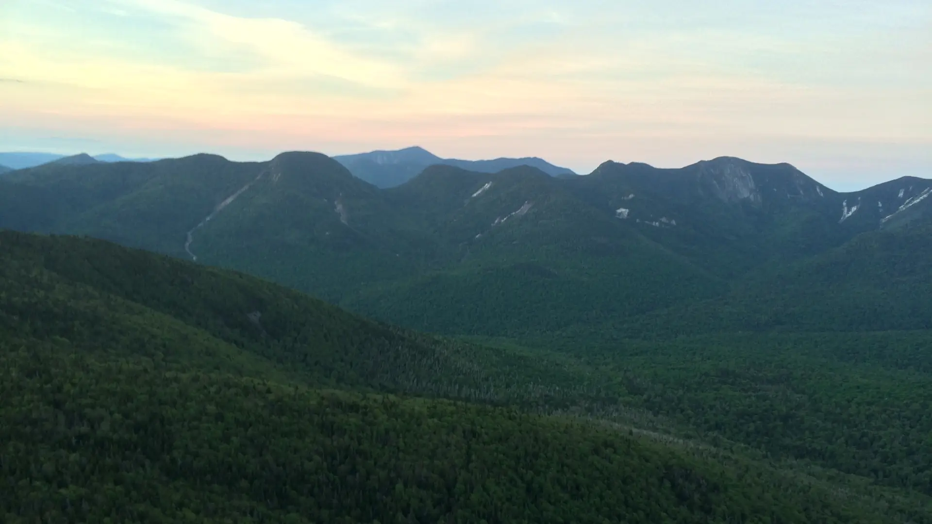
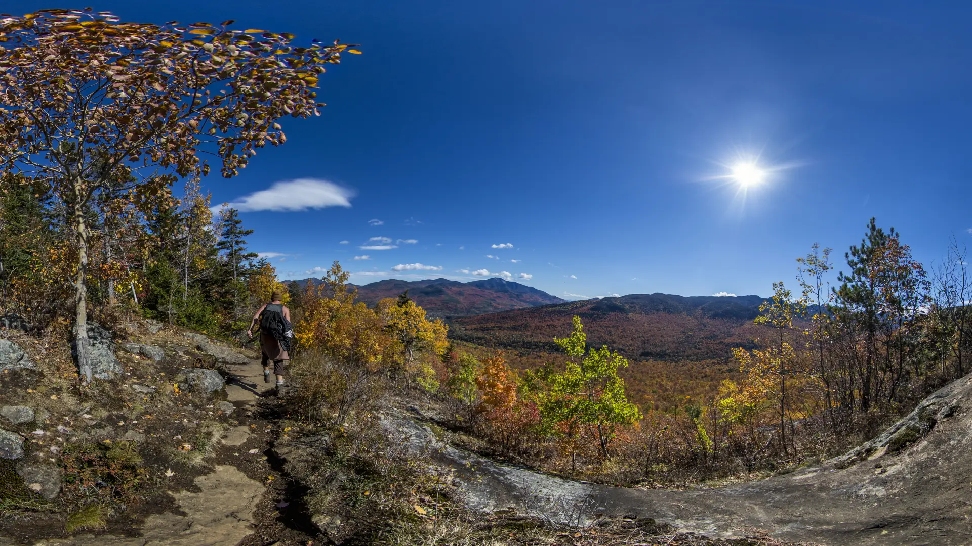
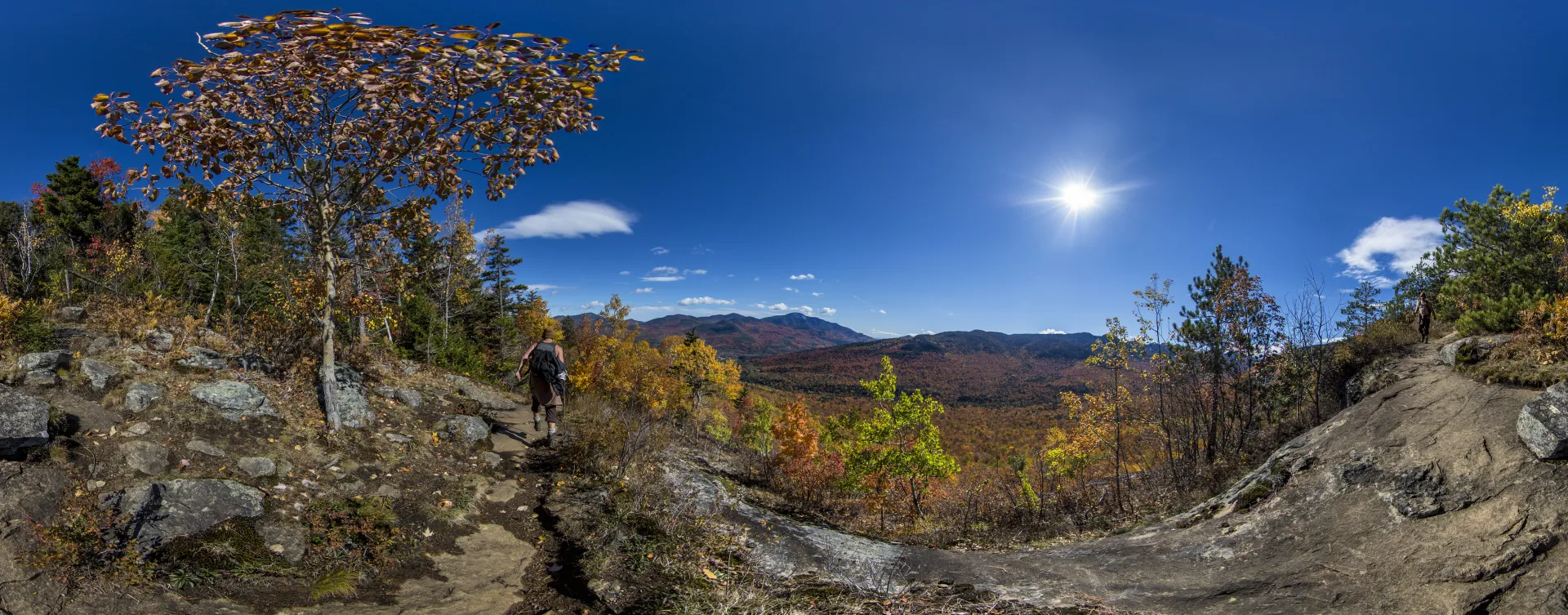
From the trail register at the Garden parking area, turn right and continue climbing past the trail junction for Porter Mountain (via Little Porter is closed). Shortly after a brook crossing, the path begins a steep ascent to an overlook on your way to the First Brother at 0.8 mile. After ducking back into the woods, the trail climbs steeply over open rock to the summit of the First Brother at the 1.5 mile mark.
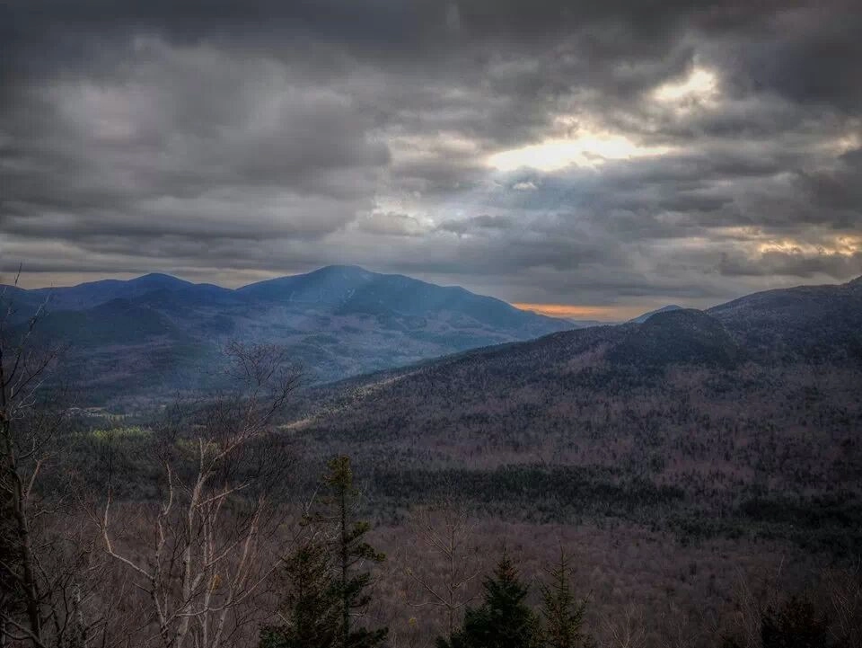
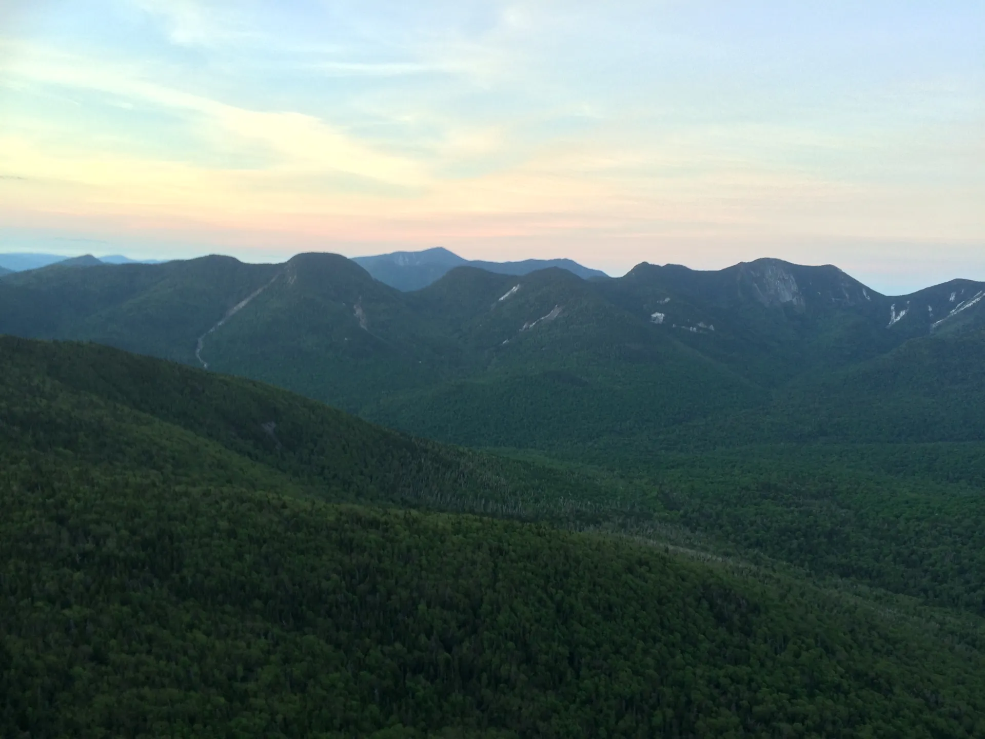
Leaving the summit of the First Brother, the path dips into a col, levels off, then climbs briefly to the partially open, slightly higher summit of the Second Brother at 1.7 miles. The trail remains level for a bit, then descends past a couple more ledges before ascending moderately to the summit of the Third Brother at 2.5 miles. Don’t miss the view of Big Slide’s wave-like ridge from this point.
Continuing on, the path descends gradually and eventually levels out. The trail soon begins to climb moderately to a junction at 3.2 miles. Left is the descent into Johns Brook, right heads to the summit of Big Slide. Turning right, the path immediately becomes very steep, and there are large wooden ladders in place to aid hikers. From here, it’s a short, albeit steep, ascent to the summit at 3.4 miles.
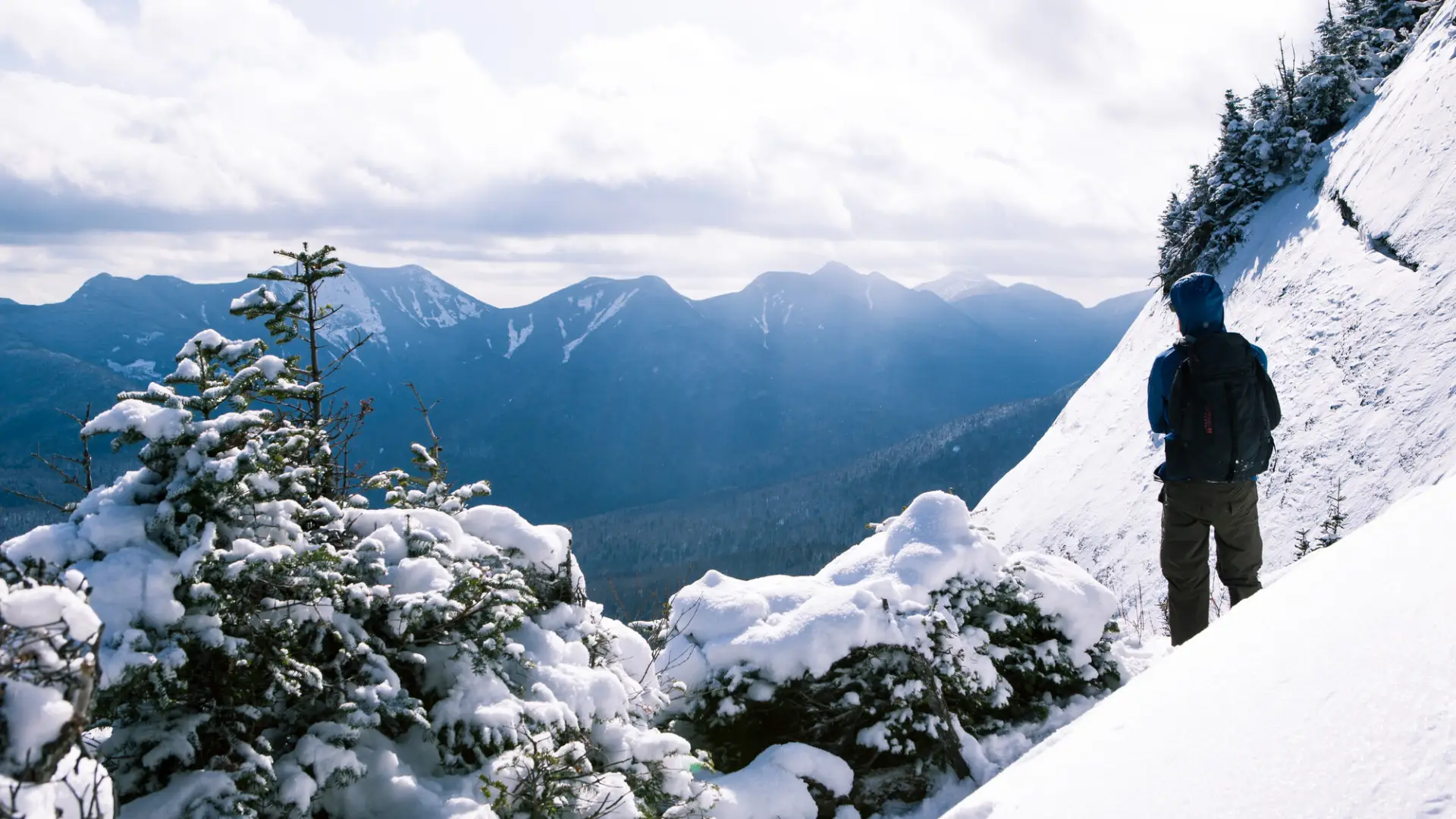
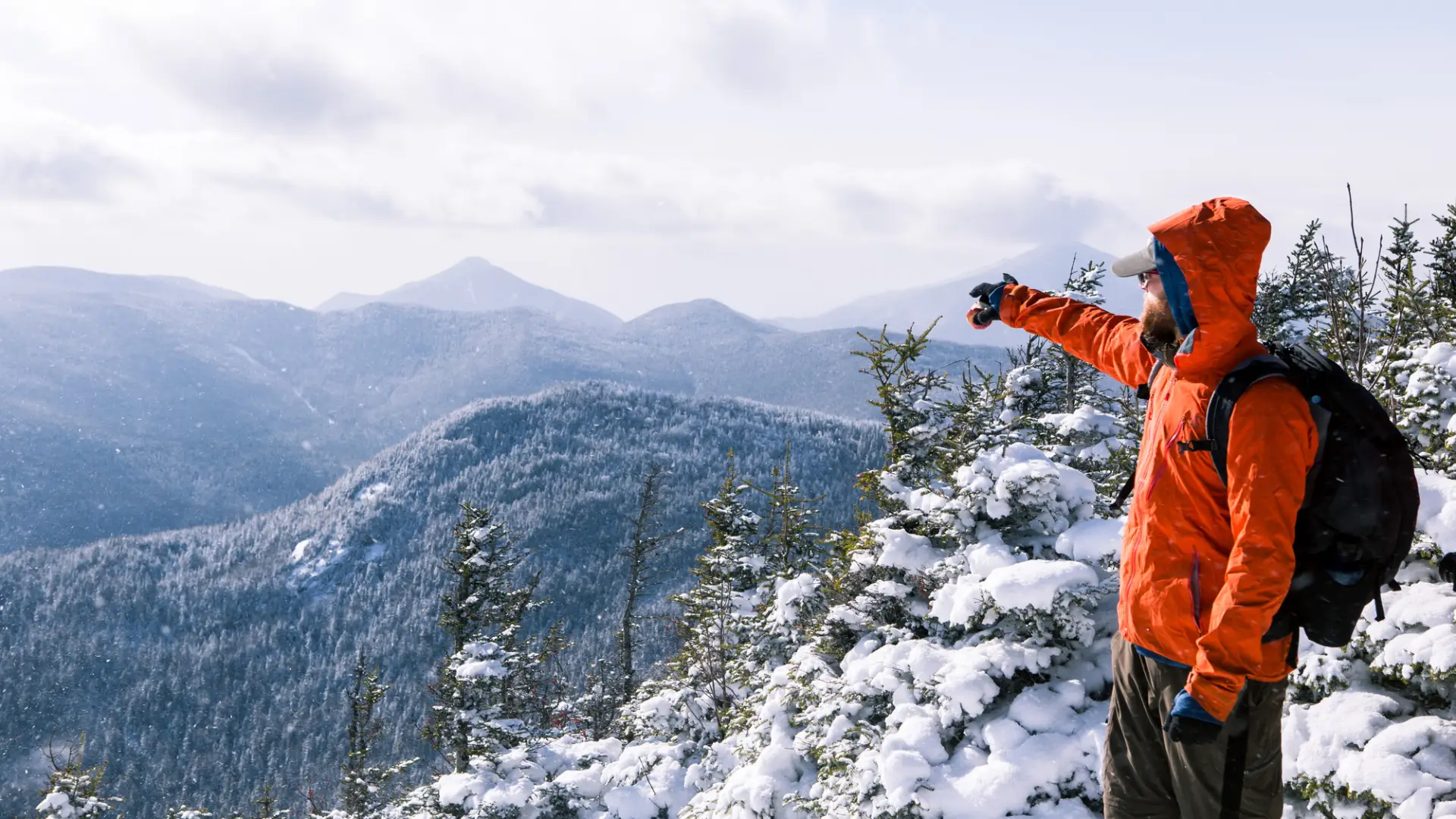
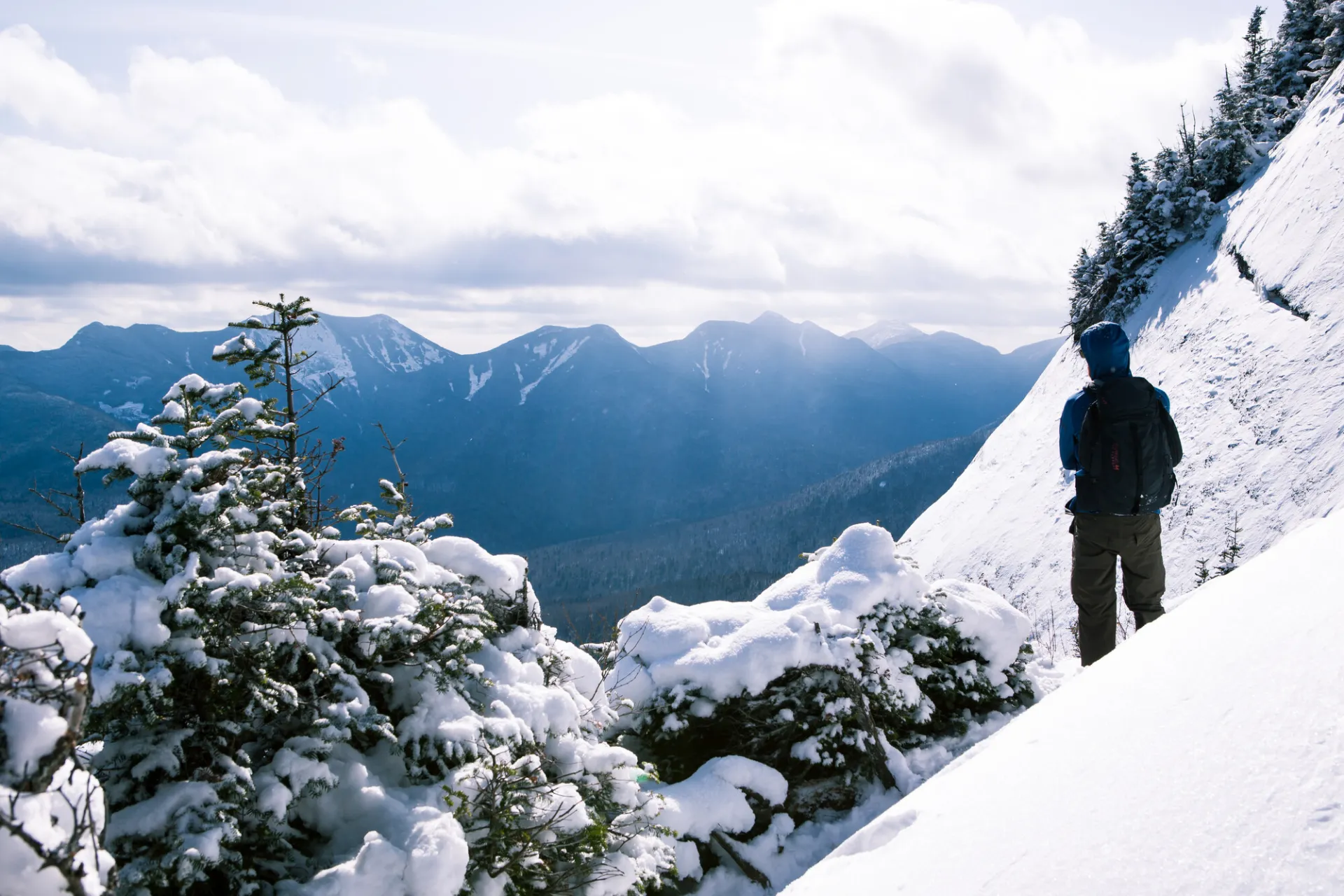
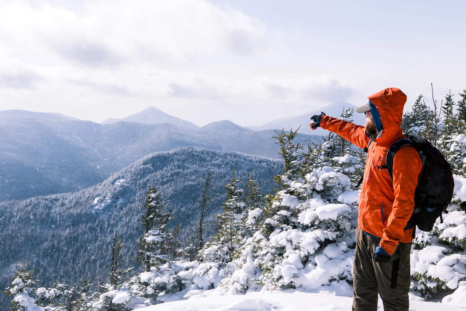
Big Slide in the winter
Hiking Big Slide in the winter is a challenging endeavor, and something that should be built up to. Snowshoes are required, and microspikes are a must on the steeper sections, especially along the steep sections to the Brothers, and towards the summit. Expect a significant drop in temperature as elevation is gained, and be prepared for strong winds on the open sections. Always bring extra layers, proper gear, and don't hesitate to turn around if the weather starts to turn.
Find your perfect trail in the Keene Valley area
Does Big Slide sound spectacular, but a little more than you want to tackle right now? No need to stress, with over 2000 miles of hiking trails in the Adirondacks we are sure we can find the perfect hike for you.
How to get there
Leave Lake Placid on Route 73, heading east toward Keene and Keene Valley. After about 19 miles, in downtown Keene Valley, turn right at the large wooden DEC sign for the Garden parking lot. This turn is also about 12 miles from Exit 30 on I-87.
Note: There is a small fee to park at the Garden. Parking here is limited and the lot fills up early most weekend mornings, especially in summer. Have a back-up hike planned for if the lot is full.
Emergency Information
Related Content

Ready to hike in the High Peaks? There is no set way for how to become a 46er, but there is a R.I.G.H.T. way.

Lake Placid, NY is home to short hikes, moderate hikes, and longer hikes, making us the perfect hiking destination for any hiker! Read these hiking safety and etiquette tips that will keep you safe and happy on the trails this summer!