It doesn't happen very often in my household, but I had a day off alone. I typically don't hike alone because I have a very hard time keeping conversation with myself. Not only that but I usually get a particular song stuck in my head and all I keep doing is singing the chorus over and over again because I can't remember the rest.
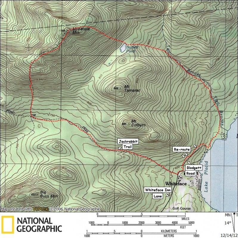
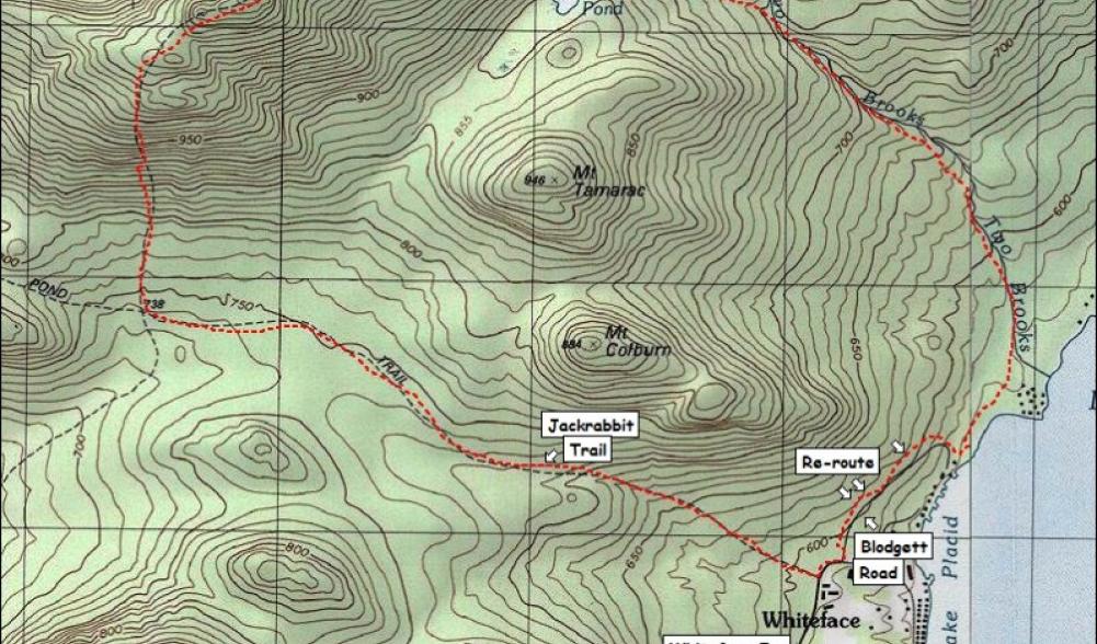
With all that, I still felt the need to get out and play in the newly fallen snow, so I set my eyes on McKenzie. I needed to update The Other 54, my book on the Adirondack 100 Highest, and I hadn't been on McKenzie since early in the writing of the second edition, so that was to be the plan. I had also read that the Shore Owners Association Trail (SOA) had been re-opened to the public and re-routed to avoid a majority of the private property concerns. I found the start to be at Blodgett Road, so I planned a route that would loop me back through the area.
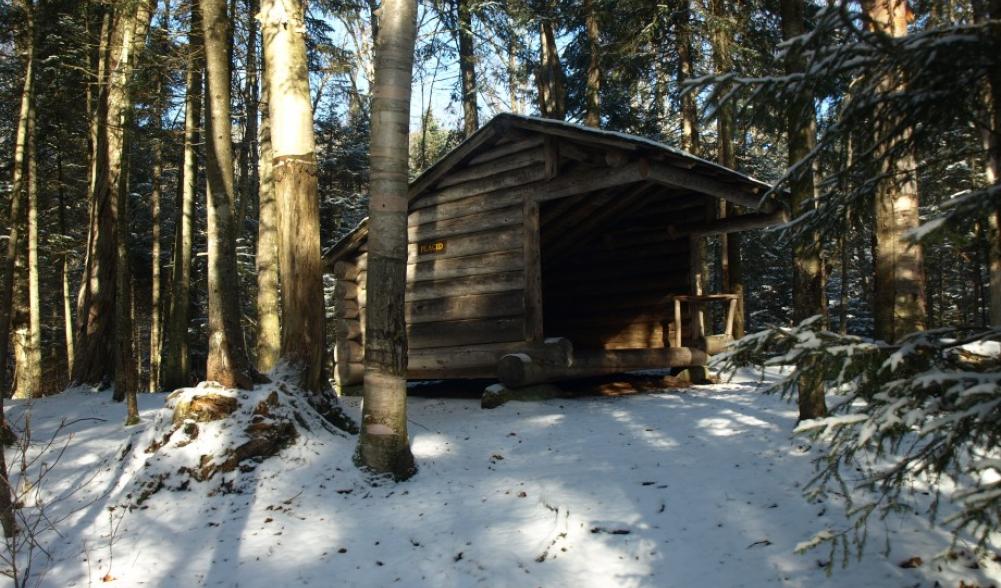
I parked my car at the Jackrabbit Trail on Whiteface Inn Lane, hiked in a bit, signed in at the trail register and started the moderate climb toward the McKenzie Mountain Trail. I jumped back and forth over the running water that conveniently chose the fall line of the trail. It was very quiet with only the babble of the running water and an occasional raven playing in the breeze. Passing by Colburn and Tamarack Mountains on my right, I begin to eyeball them for a future visit. It wasn't long before I reached the Placid Lean-to, where I took a break and got some water. As I typically forget, the trail has a slight decline after the lean-to and before it reaches the McKenzie Mountain Trail.

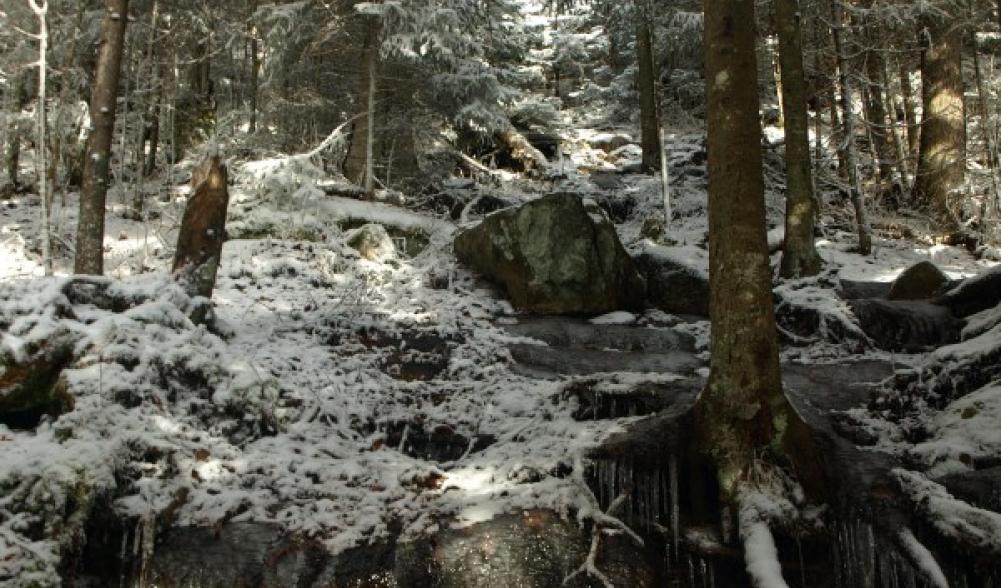
At last, I reached the 4-way intersection with the McKenzie Mountain Trail. Left would lead me to Route 86. Straight would bring me to McKenzie Pond and McKenzie Pond Road; I did not want to go there either. I hung a sharp right on the McKenzie Mountain Trail and started my climb. This first section of trail, I could have used some sort of watercraft. Ice cold water flowed so fast and free down the trail and at times nearly a foot deep where fallen leaves acted as a natural dam. This probably didn't last as long as it felt, but without a doubt, my jumping and leaping abilities improved this day. Once the water ended, the steep terrain started, no rest for me today – right from one obstacle to the next.
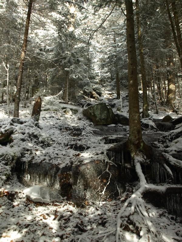
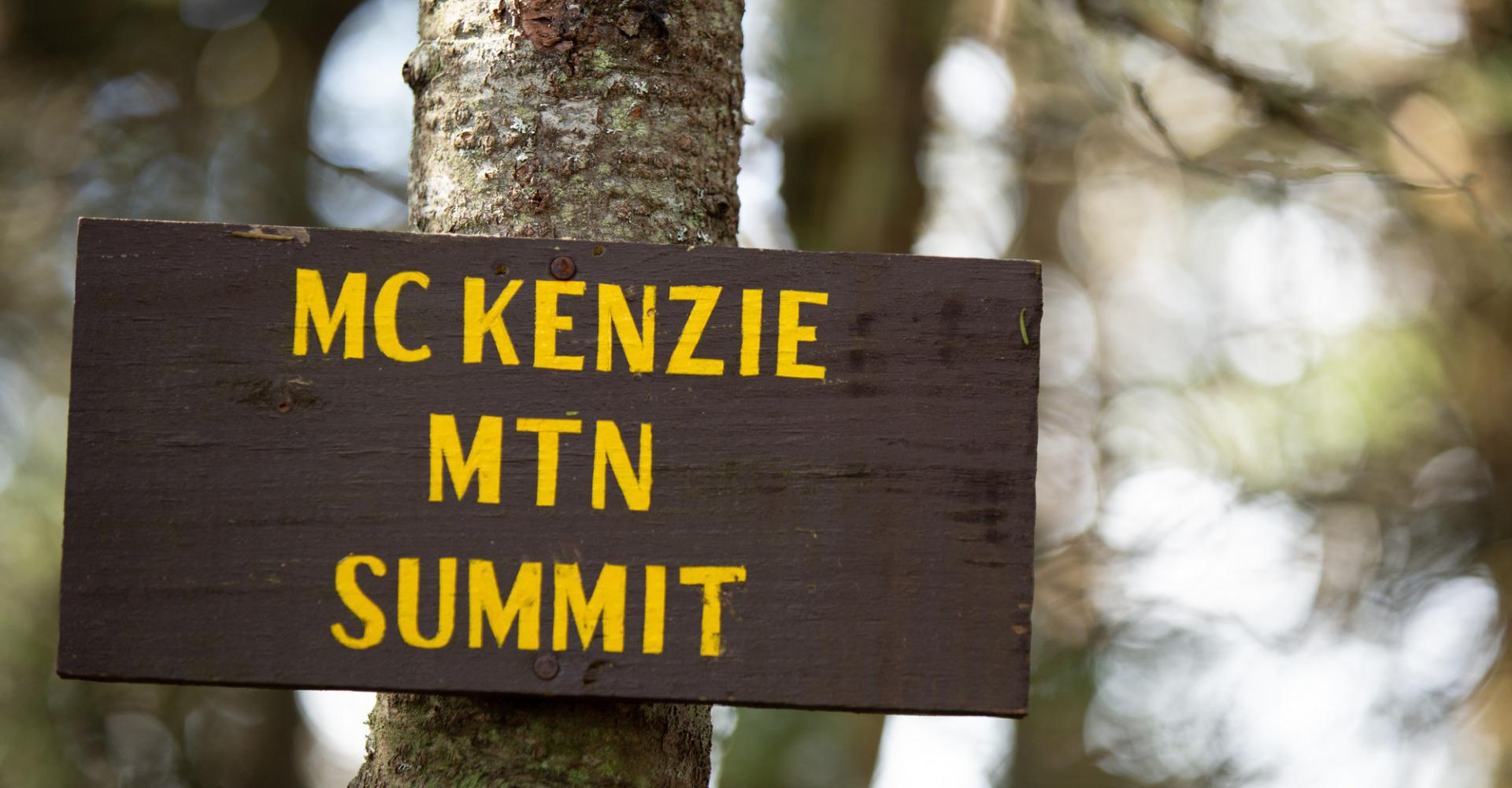
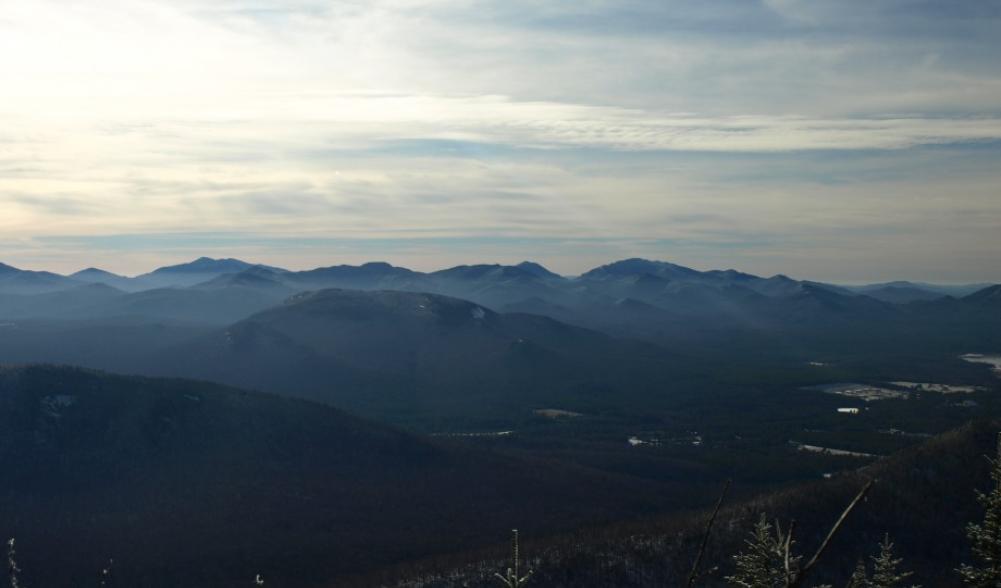
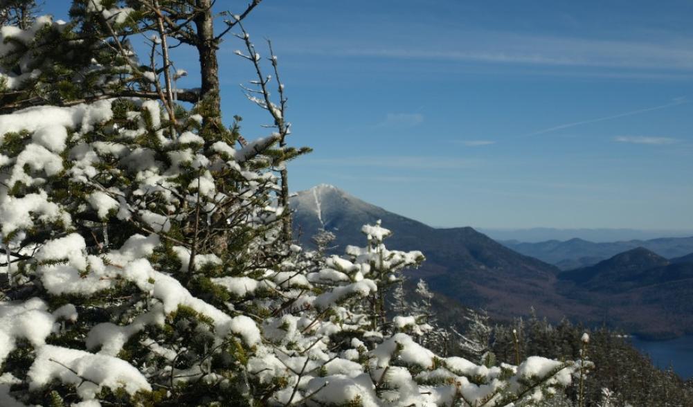
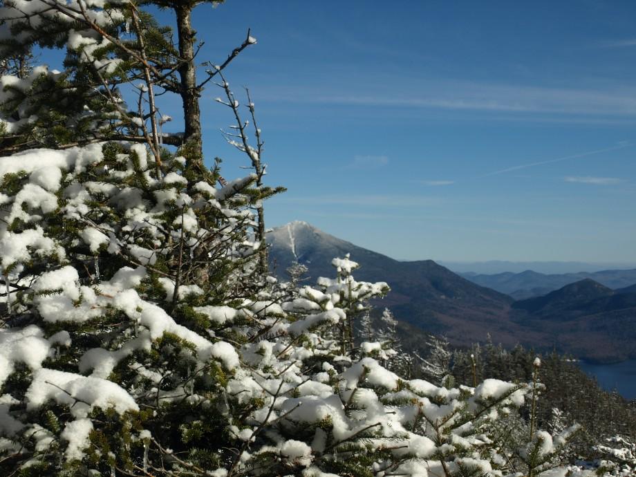
I was baffled by the steepness of the terrain, it was much steeper than I recalled from a few years back. At about 2500' in elevation the ice started to appear and out came the microspikes for traction. As the terrain remained steep, the views began to get better. I enjoyed every opportunity to burn up a break or two taking pictures. I eventually made it to the first of the 5 small summits. The first 4-highpoints along the ridge aren't very big, with little elevation change between them, but each one offers something for the eyes. The final drop along the saddled ridge was much more significant. The final climb didn't seem too bad and then I stood on true summit of McKenzie Mountain. The summit along the trail is wooded, but a ledge to the left and a ledge to the right offer amazing views – which together cover all directions.

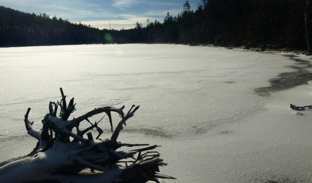
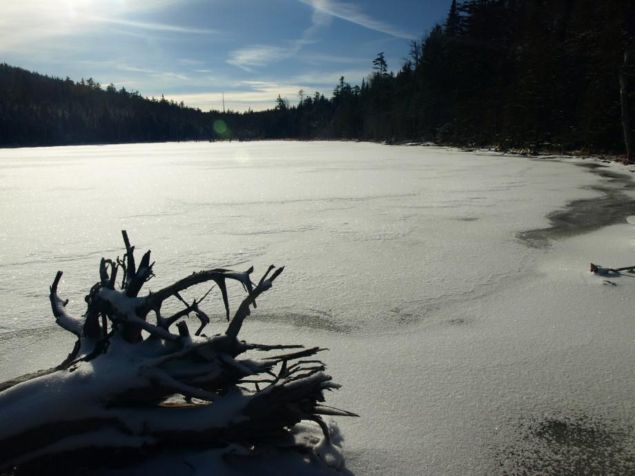
From the summit I would continue my loop by dropping off the backside onto the SOA Trails. It was very steep descent down this trail with waterfall ice that made me take baby steps. After the quarter mile drop, I was at the intersection for Moose Mountain, which headed to the left. I needed to go right and continue the relentless descent down to Bartlett Pond. Seemingly so, the water was being shed off both sides of the mountain, from the day's snowmelt. I was again in a small intermittent stream of sorts that masqueraded itself as a hiking trail. This trail was so delightful in many other ways, though. As I watched almost every step, I eventually looked up and all of a sudden there was a fully frozen Bartlett Pond. After snapping a couple pictures I was off and crossing the major outlet. This outlet can be a bit tricky if it were flowing any harder, only a couple partially submerged rocks allowed my dry crossing. On the opposite shore I continued a long, but much more moderate descent to the Lake Trail.
The ground continued to be covered in a light coating of fresh powder which made the terrain very slippery and unpredictable. But that didn't stop my fast descent, which only got slowed once by a band of blow-down from a recent storm. A half dozen trees lay sprawled out over the trail blocking an otherwise obvious course. After a couple minutes of walking around the trees to the right (in the wrong direction, I might add), I stumbled upon the trail only feet from where I was before I started my circumnavigation of the wood pile. The beauty of this trail is that it follows the course of the brook nearly all the way back to Lake Placid. Once I was on the Lake Trail it was very smooth sailing; I kicked it into fourth and starting dreaming about a hot cup of coffee.
Once I was at the re-route, it was obvious. A large rough-cut wood fence was built to help block access to the nearby homes. Signs also warn of private property. The re-route followed along the edge of the fence before moving me into the woods on a very fresh foot-path. The trail is well-marked and follows the course of Blodgett Road. Eventually the trail ended onto Blodgett Road where I had to follow it for a bit back to Whiteface Inn Lane. I hung a right on Whiteface Inn Lane and pavement pounded it back to my car at the Jackrabbit Trailhead, only a couple hundred yard away. The day was still young; I had pushed out this loop in only 4.5 hours. After that it was to town for some hot coffee and a small pastry.
Plan your next hiking trip or visit to Lake Placid and find tons of places to play, take a nap, eat, or see a show.
