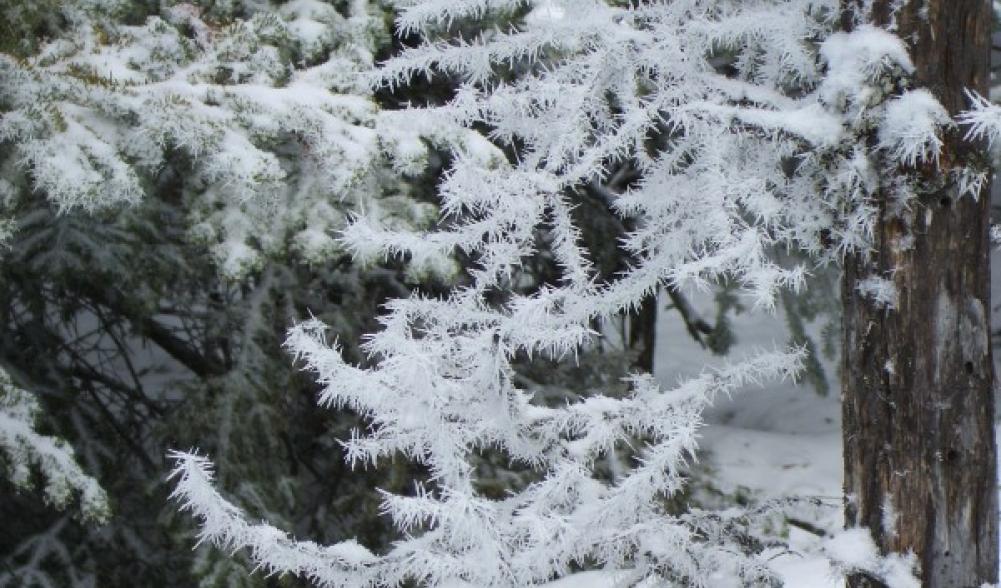
The Sentinel Range can be one hostile place to play in; however, Slide Mountain tends to be less intrusive to visitors. On this particular day we woke up to a couple inches of fresh powder on the ground, this just whet our appetite to get out and play in the mountains – so, why not a little bushwhack to wake the senses?
We decided to start a bit earlier this time just to assure we would be out before it got dark. One of the downfalls of hiking in late fall is the clocks get set back an hour and we lose some of the daylight on the back end. In the grand scheme of things, 8am isn't all that early though.
After a quick scraping of our frosted windshield and the sudden shock of ice cold leather seats we were off to grab a bite to eat at Ashley's Café. The food was amazing as always, but a stack of pancakes is almost as bad as a turkey dinner, as far as immediate motivation for exercise in concerned. I guess we can work off the food coma on the way to the trail-head which is about 20 minutes away in the town of Keene. I use trail-head, lightly, but since the route we used starts along a trail - I guess I can use a bit of writer's freedom.
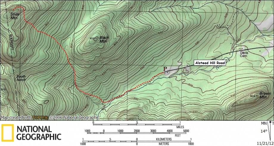
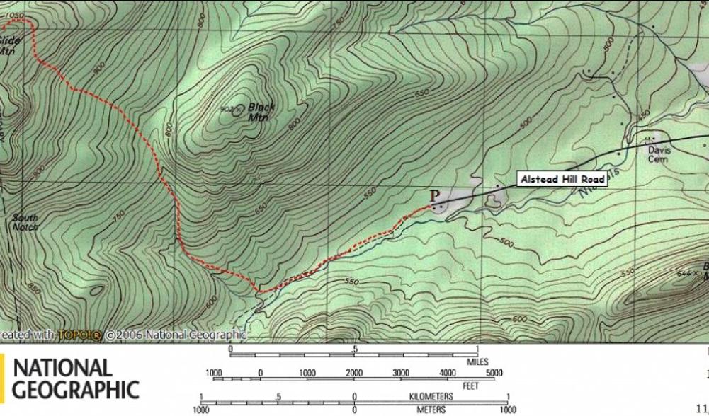
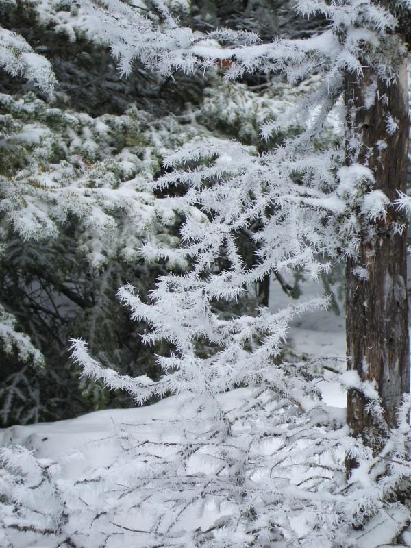
Located at the end of Alstead Hill Road is also the end of the Jackrabbit Trail which so happens to be the trail we started along. The trail can be found at the backside of the parking area near Rock and River Outfitters. We decided to dress a bit warmer on this day, much more than we normally would this time of year, due to the frigid, damp air and the fresh snow. We also took into account the potential of heavy snow on the trees up higher on the mountain, which as we passed through would surely bless us with their hospitality. The trail itself had very little fresh snow on it – roughly 2 inches, but it was evident that up higher there would be much more accumulation. We remained on the trail for a short amount of time, just enough to locate a small bridge/culvert that rerouted a brook that drained what we call Black Mountain Notch after the aptly named peak to its east.
Once we located the brook it was all about route finding and locating the path of the least resistance. We followed the brook only long enough to reach the open forest, which was not much time at all. Immediately off the brook the terrain steepened, but the woods remained friendly. The brook eventually takes a hard dog-leg right and we simply wanted to bypass that elbow and rejoin the brook a bit further upstream. Moving slightly faster than a black bear in January we eventually reintroduced ourselves to the brook, literally, by bowing in its bubbling waters. You see, the exposed river rocks and boulders that were slightly covered in snow and ice made them very slippery. This slowed process to a slightly slower forward momentum, but once we got our feet under us, it became more of a challenge and yet in an odd way a competition amongst us. The small rocks weren't too bad, but we had to navigate around all the larger ones, rather than just hop from one to another, like we did in the summer. Note to self – bring extra socks and don't set gaiters down on kitchen table. We had waterproof boots, but the unexpected splashing around and lack of gaiters was a magnet for water.
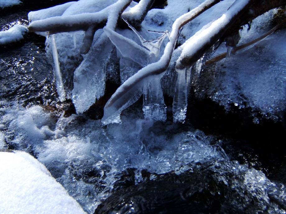
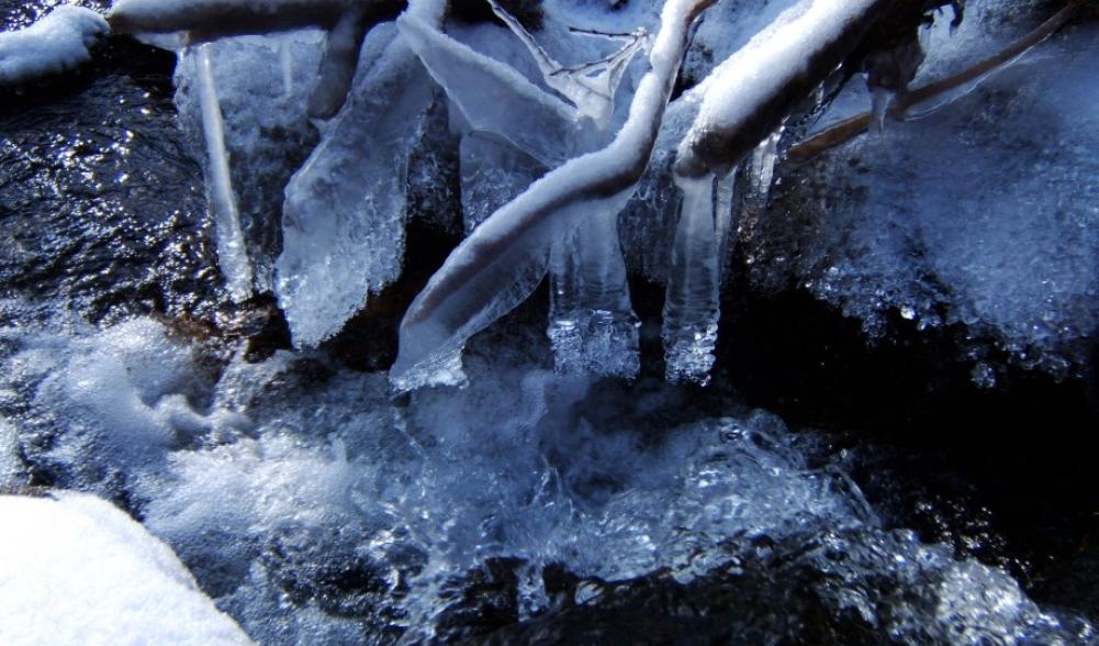
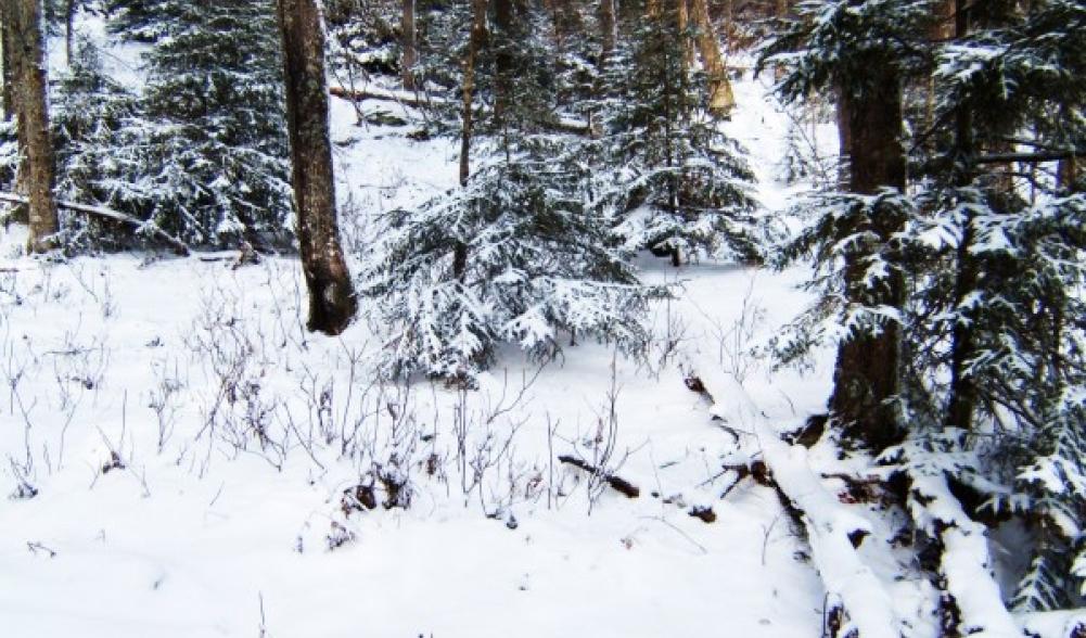
As we climbed onward the brook became even more absolutely gorgeous, especially with the ice formations that have been building over the last couple weeks of cold weather. It was around this time when we went to shore to avoid something and we noticed that the snow was approaching about 4-inches, doubled we guessed from the trail. In order for us to escape the slippery terrain in the brook we had to escape to the woods much more than expected and fight the thick spruce and balsams that were there. Luckily the brook isn't all that wide and it's rather easy to hop from one shore to the next, choosing our point of exit. We climbed on and then the views started to arise behind us and since my fiancé has eyes in the back of her head, she noticed them first. As we approached the col between Slide and Black Mountain the forest started to open up again and the brook receded back into the mountains.
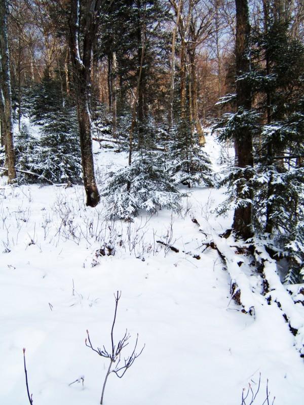
Just shy of the height-of-land we left the brook and headed slightly west of north toward the steeper slopes of Slide Mountain, taking a B-line for the summit. The forest remained open through a mix of hardwoods and balsams. We continued to sneak through the forest and slowly meandered through the open portals that the trees gave us. As we moved in on the top, the summit crown started to close in a bit and the forest changed face to more red spruce and dead-fall. Finally after 2.5 hours of route-finding the summit of Slide Mountain was ours. We were now standing on the top of the Adirondack Parks 83rd highest peak. Unfortunately the summit is mostly wooded with limited views off toward Pitchoff Mountain – which happens to be the only peak in the Sentinel Range that has a trail.
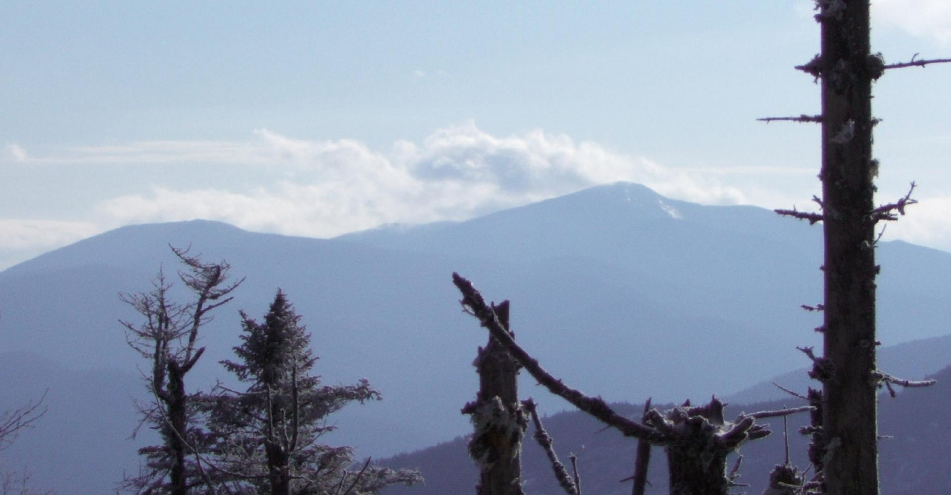
The key to Slide Mountain as we found out is to locate the unique view that most miss. We found the view that day that arguably so, we missed each time before as well. Heading off the summit we just had a gut feeling there had to be more, somewhere, looking at something. So, we pushed our way through tighter knitting of spruce trees and eventually came to a small cliff band with just enough room for 2-3 people to stand and capture a remarkable view of Whiteface and the smaller hills of the Sentinel Range.
The nice thing about climbing and bushwhacking with a bit of snow on the ground, is that finding your route out is totally brainless, just follow your tracks. If fact we were out and back at the car in half the time it took to ascend. Of course, it did help that we were already wet from falling snow on the trees and the previous walk along the brook – so our care for getting even wetter was no existent. Now that we were out, changed into dry clothes, that we were smart enough to bring, we knew exactly where we were going - the Noonmark Diner for some pie. There are a ton of great places to eat in Lake Placid as well, but who can pass up warm pie and hot coffee? Not I, not I.
